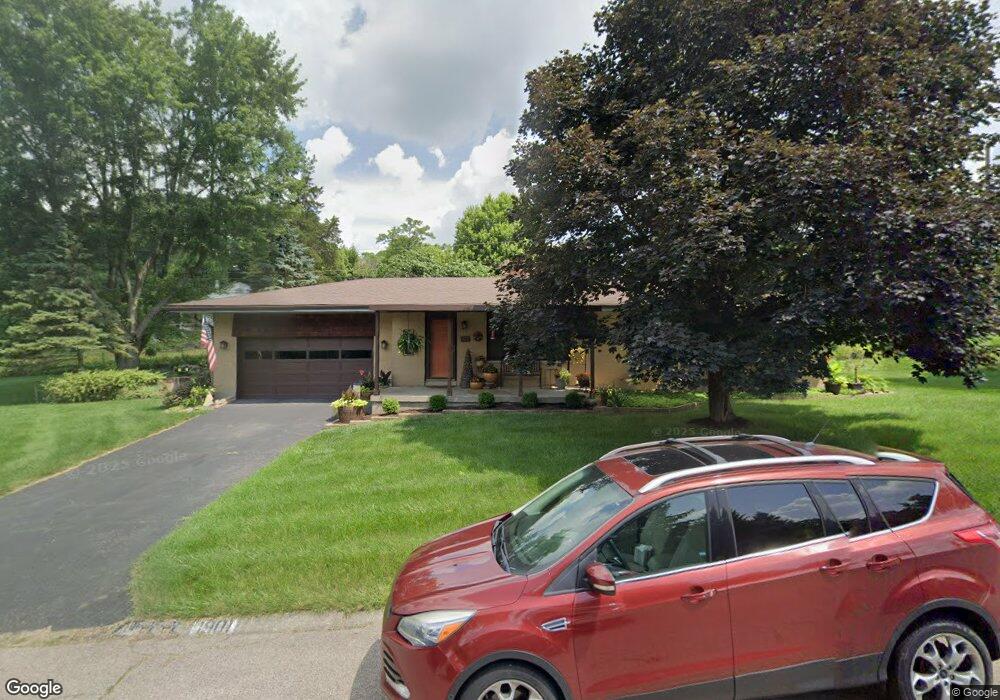
1901 Mavie Dr Dayton, OH 45414
Estimated Value: $188,000 - $251,000
3
Beds
1
Bath
1,242
Sq Ft
$178/Sq Ft
Est. Value
About This Home
This home is located at 1901 Mavie Dr, Dayton, OH 45414 and is currently estimated at $220,564, approximately $177 per square foot. 1901 Mavie Dr is a home located in Montgomery County with nearby schools including Helke Elementary School, Morton Middle School, and Butler High School.
Ownership History
Date
Name
Owned For
Owner Type
Purchase Details
Closed on
Feb 26, 2004
Sold by
Christler Peggy Sue and Christler Steven W
Bought by
Pepiot John C and Pepiot Kathleen M
Current Estimated Value
Home Financials for this Owner
Home Financials are based on the most recent Mortgage that was taken out on this home.
Original Mortgage
$91,375
Interest Rate
5.74%
Mortgage Type
Purchase Money Mortgage
Create a Home Valuation Report for This Property
The Home Valuation Report is an in-depth analysis detailing your home's value as well as a comparison with similar homes in the area
Home Values in the Area
Average Home Value in this Area
Purchase History
| Date | Buyer | Sale Price | Title Company |
|---|---|---|---|
| Pepiot John C | $107,500 | -- |
Source: Public Records
Mortgage History
| Date | Status | Borrower | Loan Amount |
|---|---|---|---|
| Closed | Pepiot John C | $91,375 |
Source: Public Records
Tax History Compared to Growth
Tax History
| Year | Tax Paid | Tax Assessment Tax Assessment Total Assessment is a certain percentage of the fair market value that is determined by local assessors to be the total taxable value of land and additions on the property. | Land | Improvement |
|---|---|---|---|---|
| 2024 | $3,221 | $52,180 | $16,260 | $35,920 |
| 2023 | $3,221 | $52,180 | $16,260 | $35,920 |
| 2022 | $2,868 | $37,000 | $11,530 | $25,470 |
| 2021 | $2,869 | $37,000 | $11,530 | $25,470 |
| 2020 | $2,861 | $37,000 | $11,530 | $25,470 |
| 2019 | $2,832 | $33,400 | $11,530 | $21,870 |
| 2018 | $2,837 | $33,400 | $11,530 | $21,870 |
| 2017 | $2,819 | $33,400 | $11,530 | $21,870 |
| 2016 | $3,103 | $36,110 | $11,530 | $24,580 |
| 2015 | $2,942 | $36,110 | $11,530 | $24,580 |
| 2014 | $2,942 | $36,110 | $11,530 | $24,580 |
| 2012 | -- | $38,020 | $11,640 | $26,380 |
Source: Public Records
Map
Nearby Homes
- 6552 Stillcrest Way
- 6659 Stillmead Dr
- 6820 Brigantine Way
- 6331 Riverbend Dr
- 7042 Society Ct
- 7052 Society Ct
- 7077 Meeker Commons Ln
- 7595 Meeker Rd
- 6287 Dog Leg Rd
- 7019 Brantford Rd
- 587 Eastdale Dr
- 488 Eastdale Dr
- 3114 Northerton Ct
- 0 Springway Dr Unit 927025
- 8090 Dog Leg Rd
- 7725 Harrington Ave
- 3166 Little York Rd
- 7807 Irvington Ave
- 7562 Yorkshire Dr
- 7568 Yorkshire Dr
- 6621 Peters Pike
- 6601 Peters Pike
- 1875 Mavie Dr
- 1880 Mavie Dr
- 6705 Peters Pike
- 6725 Peters Pike
- 1870 Mavie Dr
- 1865 Mavie Dr
- 1860 Mavie Dr
- 1911 Wicksford Ct
- 1920 Wicksford Ct
- 1849 Mavie Dr
- 1850 Mavie Dr
- 1910 Wicksford Ct
- 6416 Landsend Ct
- 0 Echoing Oaks Cir
- 6675 Peters Pike
- 6424 Landsend Ct
- 1839 Mavie Dr
- 6771 Peters Pike