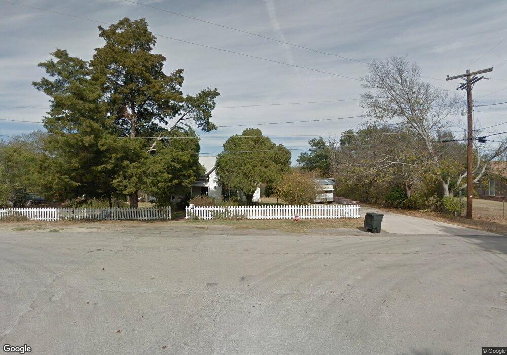
1901 N Bennett Rd Weatherford, TX 76085
Estimated Value: $452,000 - $1,312,000
--
Bed
--
Bath
5,928
Sq Ft
$149/Sq Ft
Est. Value
About This Home
This home is located at 1901 N Bennett Rd, Weatherford, TX 76085 and is currently estimated at $882,000, approximately $148 per square foot. 1901 N Bennett Rd is a home with nearby schools including Millsap Elementary School, Millsap Middle School, and Millsap High School.
Ownership History
Date
Name
Owned For
Owner Type
Purchase Details
Closed on
May 15, 2014
Sold by
Rehfeldt Frederick E and Ethel Rehfeldt Demarr
Bought by
Rehfeldt Frederick E and Rehfeldt Mary D
Current Estimated Value
Purchase Details
Closed on
May 14, 2014
Sold by
Rehfeldt Frederick E and Ethel Rehfeldt Demarr
Bought by
Rehfeldt Frederick E and Rehfeldt Mary D
Purchase Details
Closed on
Apr 17, 2014
Sold by
Rehfeldt Frederick E and Ethel Rehfeldt Demarr
Bought by
Rehfeldt Frederick E and Rehfeldt Mary D
Purchase Details
Closed on
Apr 15, 2014
Sold by
Rehfeldt Frederick C & Ethel Revoc Trus
Bought by
Rehfeldt Frederick E and Rehfeldt Mary D
Purchase Details
Closed on
Jan 1, 1901
Bought by
Rehfeldt Frederick E and Rehfeldt Mary D
Create a Home Valuation Report for This Property
The Home Valuation Report is an in-depth analysis detailing your home's value as well as a comparison with similar homes in the area
Home Values in the Area
Average Home Value in this Area
Purchase History
| Date | Buyer | Sale Price | Title Company |
|---|---|---|---|
| Rehfeldt Frederick E | -- | -- | |
| Rehfeldt Frederick E | -- | -- | |
| Rehfeldt Frederick E | -- | -- | |
| Rehfeldt Frederick E | -- | -- | |
| Rehfeldt Frederick E | -- | -- |
Source: Public Records
Tax History Compared to Growth
Tax History
| Year | Tax Paid | Tax Assessment Tax Assessment Total Assessment is a certain percentage of the fair market value that is determined by local assessors to be the total taxable value of land and additions on the property. | Land | Improvement |
|---|---|---|---|---|
| 2025 | $6,655 | $400,000 | $18,450 | $381,550 |
| 2024 | $6,655 | $400,000 | $6,500 | $393,500 |
| 2023 | $6,655 | $400,000 | $6,500 | $393,500 |
| 2022 | $6,040 | $318,330 | $6,500 | $311,830 |
| 2021 | $6,623 | $318,330 | $6,500 | $311,830 |
| 2020 | $4,280 | $198,940 | $4,500 | $194,440 |
| 2019 | $4,590 | $198,940 | $4,500 | $194,440 |
| 2018 | $4,263 | $182,730 | $3,500 | $179,230 |
| 2017 | $4,414 | $182,730 | $3,500 | $179,230 |
| 2016 | $4,414 | $182,730 | $3,500 | $179,230 |
| 2015 | $4,360 | $182,730 | $3,500 | $179,230 |
| 2014 | $1,233 | $182,730 | $3,500 | $179,230 |
Source: Public Records
Map
Nearby Homes
- 1700 Bennett Rd
- 940 Brazos Rock Rd
- 5200 Dobbs Valley Rd
- 1240 Riverview Rd
- 1021 Riverview Rd
- TBD Consolation
- 1200 Riverview Rd
- 6135 Dobbs Valley Rd
- 625 Southridge Dr
- 430 Rio Rd
- 1923 Wilson Bend Rd
- Lot 2 Dobbs Valley Rd
- 4962 S Fm 113
- 000a Wilson Bend Rd
- 000b Wilson Bend Rd
- 5308 Fm 1195
- 3499 S Fm 113
- 106 S Houston St
- Farm To Market 113
- 2609 Millsap Hwy
- Tract 5 10.114 Acres Goen Rd
- Tract 4 10.114 Acres Goen Rd
- Tract 3 20.227 Acres Goen Rd
- Tract 1 74.227 Acres Goen Rd
- 0000 Goen Rd
- 211 Goen Rd
- Tract 2 54.00 Acres Bennett Rd
- 000B Bennett Rd
- TBD Goen Rd
- 2800 Bennett Rd
- 648 Goen Rd
- 650 Goen Rd
- 215 Brogdon Ln
- 911 Shotgun Ln
- 1001 Shotgun Ln
- 1291 Bennett Rd
- 0 Brazos Rock Rd
- tbd Brazos Rock Rd
- 249 Shotgun Ln
- 800 Brazos Rock