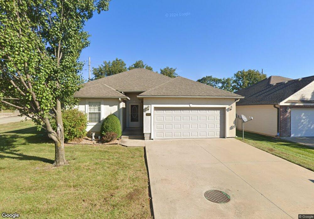
1901 Sideview N A Warrensburg, MO 64093
Warrensburg AreaEstimated Value: $233,017 - $274,000
About This Home
This home is located at 1901 Sideview N A, Warrensburg, MO 64093 and is currently estimated at $249,504, approximately $164 per square foot. 1901 Sideview N A is a home located in Johnson County with nearby schools including Maple Grove Elementary School, Martin Warren Elementary School, and Warrensburg Middle School.
Ownership History
We collect this data history from publicly available records. To have your information removed, we recommend requesting removal directly through your county’s website.
Purchase Details
Home Financials for this Owner
Home Financials are based on the most recent Mortgage that was taken out on this home.Purchase Details
Home Financials for this Owner
Home Financials are based on the most recent Mortgage that was taken out on this home.Purchase Details
Purchase Details
Home Financials for this Owner
Home Financials are based on the most recent Mortgage that was taken out on this home.Home Values in the Area
Average Home Value in this Area
Purchase History
We collect this data history from publicly available records. To have your information removed, we recommend requesting removal directly through your county’s website.
| Date | Buyer | Sale Price | Title Company |
|---|---|---|---|
| -- | Truman Title | ||
| -- | Truman Title Inc | ||
| -- | None Available | ||
| -- | None Available |
Mortgage History
We collect this data history from publicly available records. To have your information removed, we recommend requesting removal directly through your county’s website.
| Date | Status | Borrower | Loan Amount |
|---|---|---|---|
| Open | $400,000 | ||
| Previous Owner | $187,720 | ||
| Previous Owner | $124,200 |
Tax History
We collect this data history from publicly available records. To have your information removed, we recommend requesting removal directly through your county’s website.
| Year | Tax Paid | Tax Assessment Tax Assessment Total Assessment is a certain percentage of the fair market value that is determined by local assessors to be the total taxable value of land and additions on the property. | Land | Improvement |
|---|---|---|---|---|
| 2025 | $1,840 | $24,522 | $0 | $0 |
| 2024 | $1,743 | $22,823 | $0 | $0 |
| 2023 | $1,743 | $22,823 | $0 | $0 |
| 2022 | $1,690 | $22,039 | $0 | $0 |
| 2021 | $1,685 | $22,039 | $0 | $0 |
| 2020 | $1,642 | $21,253 | $0 | $0 |
| 2019 | $1,641 | $21,253 | $0 | $0 |
| 2017 | $1,637 | $21,253 | $0 | $0 |
| 2016 | $1,509 | $21,253 | $0 | $0 |
| 2015 | $1,549 | $21,253 | $0 | $0 |
| 2014 | -- | $21,253 | $0 | $0 |
Map
- 1209 Aubreis Way
- 1803 Villa Dr
- 1212 Nottingham Dr
- 1917 Country Ridge Dr
- 1219 S Countryview Ln
- 1227 Pembrooke Dr
- 1503 Nottingham Dr
- 1404 Nottingham Dr
- 1311 Kimberly Dr
- 1305 Kimberly Dr
- 711 Shamrock Ln
- 1415 Hamilton St
- 1103 N Eli Ln
- 1011 Eli Ln
- 207 Parkway Dr
- 1030 Anderson St
- 146 SE 180th Rd
- 1014 Anderson St
- 1722 Sunset Dr
- 405 10th Terrace
- 1805 Sideview Ln
- 1803 Sideview Ln
- 1202 Half Day Dr
- 1801 Sideview Ln
- 1203 Aubreis Way
- 1901 Sideview Ln
- 1203 Half Day Dr
- 1204 Half Day Dr
- 1205 Aubreis Way
- 1200 Aubreis Way
- 1905 Sideview Ln
- 1200 Aubreis Way
- 1207 Half Day Dr
- 1202 Aubreis Way
- 1206 Half Day Dr
- 1209 Half Day Dr
- 1202 Dustins Way
- 1207 Aubreis Way
- 1204 Dustins Way
- 1204 Dustins Way Unit Savannah Commons
Ask me questions while you tour the home.