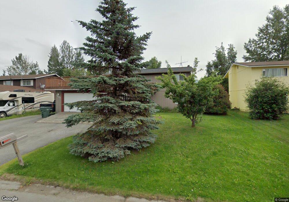
1901 State St Anchorage, AK 99504
Northeast Anchorage NeighborhoodEstimated Value: $275,000 - $478,000
3
Beds
3
Baths
1,920
Sq Ft
$190/Sq Ft
Est. Value
About This Home
This home is located at 1901 State St, Anchorage, AK 99504 and is currently estimated at $365,112, approximately $190 per square foot. 1901 State St is a home located in Anchorage Municipality with nearby schools including Susitna Elementary School, Nicholas J. Begich Middle School, and Bartlett High School.
Ownership History
Date
Name
Owned For
Owner Type
Purchase Details
Closed on
Oct 27, 2009
Sold by
Igtanloc Mark L and Igtanloc Taunja D
Bought by
Fleshman Lindsay D and Fleshman Amy D
Current Estimated Value
Home Financials for this Owner
Home Financials are based on the most recent Mortgage that was taken out on this home.
Original Mortgage
$280,386
Outstanding Balance
$181,593
Interest Rate
5%
Mortgage Type
FHA
Estimated Equity
$183,519
Purchase Details
Closed on
Dec 10, 1993
Sold by
Biondi Frank J and Biondi Linda J
Bought by
Igtanloc Mark L and Igtanloc Taunja D
Home Financials for this Owner
Home Financials are based on the most recent Mortgage that was taken out on this home.
Original Mortgage
$139,050
Interest Rate
6.89%
Mortgage Type
FHA
Create a Home Valuation Report for This Property
The Home Valuation Report is an in-depth analysis detailing your home's value as well as a comparison with similar homes in the area
Home Values in the Area
Average Home Value in this Area
Purchase History
| Date | Buyer | Sale Price | Title Company |
|---|---|---|---|
| Fleshman Lindsay D | -- | Fatic | |
| Igtanloc Mark L | -- | -- | |
| Igtanloc Mark L | -- | -- |
Source: Public Records
Mortgage History
| Date | Status | Borrower | Loan Amount |
|---|---|---|---|
| Open | Fleshman Lindsay D | $280,386 | |
| Previous Owner | Igtanloc Mark L | $139,050 |
Source: Public Records
Tax History Compared to Growth
Tax History
| Year | Tax Paid | Tax Assessment Tax Assessment Total Assessment is a certain percentage of the fair market value that is determined by local assessors to be the total taxable value of land and additions on the property. | Land | Improvement |
|---|---|---|---|---|
| 2025 | $5,903 | $397,400 | $89,100 | $308,300 |
| 2024 | $5,903 | $365,600 | $89,100 | $276,500 |
| 2023 | $5,778 | $339,300 | $89,100 | $250,200 |
| 2022 | $5,603 | $332,700 | $89,100 | $243,600 |
| 2021 | $5,420 | $300,800 | $89,100 | $211,700 |
| 2020 | $4,964 | $292,000 | $89,100 | $202,900 |
| 2019 | $4,676 | $285,800 | $89,100 | $196,700 |
| 2018 | $4,651 | $283,600 | $89,100 | $194,500 |
| 2017 | $4,618 | $294,900 | $89,100 | $205,800 |
| 2016 | $3,886 | $291,700 | $86,600 | $205,100 |
| 2015 | $3,886 | $289,700 | $86,600 | $203,100 |
| 2014 | $3,886 | $277,800 | $80,600 | $197,200 |
Source: Public Records
Map
Nearby Homes
- 1810 Greendale Dr
- 1749 Brink Dr
- 8111 Northview Dr
- 1562 State St Unit A2
- 1542 Northview Dr Unit E5
- 1900 Muldoon Rd
- 2221 Muldoon Rd Unit 291
- 2221 Muldoon Rd Unit 370
- 2221 Muldoon Rd Unit 524
- 8510 Hidden View Ct
- 2020 Muldoon Rd Unit 350
- 1450 Northview Dr Unit J6
- 1749 Skilak Cir
- 8510 Moss Ct
- 7831 Wildbrook Ct
- 2221 E Muldoon Unit 143
- 2558 Brookshire Loop Unit 32
- 8512 Cross Pointe Loop
- 000 Muldoon & Debarr Rd
- 7220 E 20th Ave
- 1911 State St
- 1841 State St
- 1850 Greendale Dr
- 1910 Greendale Dr
- 1921 State St
- 1831 State St
- 1900 State St
- 1840 State St
- 1840 Greendale Dr
- 1920 Greendale Dr
- 1910 State St
- 1830 State St
- 1931 State St
- 1830 Greendale Dr
- 1930 Greendale Dr
- 1821 State St
- 1920 State St
- 1820 State St
- 1850 Parkway Dr
- 1800 Parkway Dr