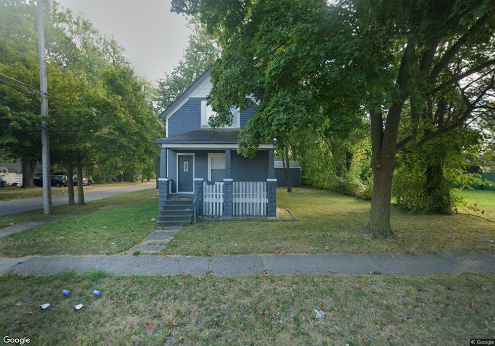
1901 State St Saginaw, MI 48602
Butman-Fish NeighborhoodEstimated Value: $63,000 - $104,000
4
Beds
1
Bath
1,273
Sq Ft
$70/Sq Ft
Est. Value
About This Home
This home is located at 1901 State St, Saginaw, MI 48602 and is currently estimated at $89,420, approximately $70 per square foot. 1901 State St is a home located in Saginaw County with nearby schools including Kempton Elementary School, Thompson Middle School, and Arthur Hill High School.
Ownership History
Date
Name
Owned For
Owner Type
Purchase Details
Closed on
Sep 18, 2019
Sold by
Bouchard Dustin
Bought by
Singh Manjinder
Current Estimated Value
Purchase Details
Closed on
Jul 21, 2010
Sold by
Res Distressed Asset Fund Xxi
Bought by
Sagpro Organization Llc
Purchase Details
Closed on
Dec 7, 2009
Sold by
Deutsche Bank National Trust Company
Bought by
Res Distressed Asset Fund Xxi Llc
Purchase Details
Closed on
May 15, 2006
Sold by
O'Dell Gary and O'Dell Debora
Bought by
Masters Theodore
Purchase Details
Closed on
Jan 5, 1991
Sold by
Greenberg Malcolm R and Greenberg Marilyn J
Bought by
O'Dell Gary and O'Dell Debora
Purchase Details
Closed on
Dec 31, 1983
Sold by
Milne Ned G and Milne Greta M
Bought by
Greenberg Malcolm R and Greenberg Marilyn J
Create a Home Valuation Report for This Property
The Home Valuation Report is an in-depth analysis detailing your home's value as well as a comparison with similar homes in the area
Home Values in the Area
Average Home Value in this Area
Purchase History
| Date | Buyer | Sale Price | Title Company |
|---|---|---|---|
| Singh Manjinder | $20,000 | None Available | |
| Sagpro Organization Llc | $2,500 | -- | |
| Res Distressed Asset Fund Xxi Llc | -- | -- | |
| Masters Theodore | $43,000 | -- | |
| O'Dell Gary | $36,000 | -- | |
| Greenberg Malcolm R | $23,900 | -- |
Source: Public Records
Tax History Compared to Growth
Tax History
| Year | Tax Paid | Tax Assessment Tax Assessment Total Assessment is a certain percentage of the fair market value that is determined by local assessors to be the total taxable value of land and additions on the property. | Land | Improvement |
|---|---|---|---|---|
| 2025 | $1,543 | $42,200 | $0 | $0 |
| 2024 | $1,171 | $37,900 | $0 | $0 |
| 2023 | $1,128 | $33,400 | $0 | $0 |
| 2022 | $1,674 | $28,900 | $0 | $0 |
| 2021 | $1,324 | $25,700 | $0 | $0 |
| 2020 | $1,157 | $23,600 | $0 | $0 |
| 2019 | $1,296 | $21,300 | $1,400 | $19,900 |
| 2018 | $1,035 | $22,020 | $0 | $0 |
| 2017 | $1,152 | $21,150 | $0 | $0 |
| 2016 | $1,116 | $19,945 | $0 | $0 |
| 2014 | -- | $19,782 | $0 | $18,363 |
| 2013 | -- | $20,521 | $0 | $0 |
Source: Public Records
Map
Nearby Homes
- 2132 N Clinton St
- 2129 N Clinton St
- 2105 Mershon St
- 2015 W Genesee Ave
- 1920 N Clinton St
- 2120 W Genesee Ave
- 1710 State St
- 2015 Delaware St
- 2220 Mershon St
- 2207 Delaware Blvd
- 2104 Delaware Blvd
- 2004 Delaware St
- 1616 State St
- 2263 Barnard St
- 2250 Mershon St
- 1933 N Carolina St
- 1840 N Carolina St
- 2341 N Clinton St
- 1818 N Woodbridge St
- 1710 Barnard St
- 1909 State St
- 1915 State St
- 2021 Barnard St
- 2101 Barnard St
- 1919 State St
- 1825 State St
- 1819 State St
- 1921 State St
- 1914 State St
- 2015 Barnard St
- 1820 State St
- 2022 Barnard St
- 1815 State St
- 2024 N Clinton St
- 2014 Barnard St
- 2020 N Clinton St
- 1920 State St
- 2115 Barnard St
- 1814 State St
- 2009 Barnard St