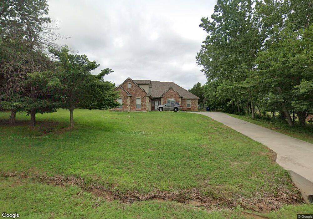
1901 Wagon Trail Blvd Harrah, OK 73045
Estimated Value: $336,666 - $386,000
4
Beds
2
Baths
2,094
Sq Ft
$172/Sq Ft
Est. Value
About This Home
This home is located at 1901 Wagon Trail Blvd, Harrah, OK 73045 and is currently estimated at $360,417, approximately $172 per square foot. 1901 Wagon Trail Blvd is a home located in Oklahoma County with nearby schools including Virginia Smith Elementary School, Clara Reynolds Elementary School, and Russell Babb Elementary School.
Ownership History
Date
Name
Owned For
Owner Type
Purchase Details
Closed on
Aug 13, 2012
Sold by
Kloster Erik and Kloster Mellinda
Bought by
Cameron Charles R and Cameron Cheryl L
Current Estimated Value
Home Financials for this Owner
Home Financials are based on the most recent Mortgage that was taken out on this home.
Original Mortgage
$211,765
Outstanding Balance
$143,901
Interest Rate
3.57%
Mortgage Type
VA
Estimated Equity
$216,516
Purchase Details
Closed on
Nov 30, 2006
Sold by
Shatley Ricky and Shatley Michelle
Bought by
Canfield Scott A and Canfield Stella L
Home Financials for this Owner
Home Financials are based on the most recent Mortgage that was taken out on this home.
Original Mortgage
$166,000
Interest Rate
6.3%
Mortgage Type
Purchase Money Mortgage
Purchase Details
Closed on
Nov 8, 2004
Sold by
Homestead Community Development Llc
Bought by
Shatley Ricky and Shatley Michelle
Create a Home Valuation Report for This Property
The Home Valuation Report is an in-depth analysis detailing your home's value as well as a comparison with similar homes in the area
Home Values in the Area
Average Home Value in this Area
Purchase History
| Date | Buyer | Sale Price | Title Company |
|---|---|---|---|
| Cameron Charles R | $205,000 | American Eagle Title Group | |
| Canfield Scott A | $181,000 | Capitol Abstract & Title | |
| Shatley Ricky | $25,500 | Capitol Abstract & Title |
Source: Public Records
Mortgage History
| Date | Status | Borrower | Loan Amount |
|---|---|---|---|
| Open | Cameron Charles R | $211,765 | |
| Previous Owner | Canfield Scott A | $166,000 |
Source: Public Records
Tax History
| Year | Tax Paid | Tax Assessment Tax Assessment Total Assessment is a certain percentage of the fair market value that is determined by local assessors to be the total taxable value of land and additions on the property. | Land | Improvement |
|---|---|---|---|---|
| 2025 | $2,902 | $28,054 | $3,998 | $24,056 |
| 2023 | $2,490 | $26,443 | $4,042 | $22,401 |
| 2022 | $2,455 | $25,673 | $4,606 | $21,067 |
| 2021 | $2,381 | $24,926 | $5,006 | $19,920 |
| 2020 | $2,371 | $24,200 | $4,686 | $19,514 |
| 2019 | $2,430 | $24,812 | $4,606 | $20,206 |
| 2018 | $2,399 | $24,090 | $0 | $0 |
| 2017 | $2,318 | $23,758 | $4,297 | $19,461 |
| 2016 | $2,289 | $23,066 | $4,230 | $18,836 |
| 2015 | $2,197 | $22,394 | $4,167 | $18,227 |
| 2014 | $2,125 | $21,743 | $4,276 | $17,467 |
Source: Public Records
Map
Nearby Homes
- 0 Dobbs Rd
- 19416 Cardinal Creek Dr N
- 800 S Luther Rd
- 1701 S Luther Rd
- 615 Yoachum Rd
- 1201 Rolling Hills Dr
- 2990 Greenleaf Dr
- 0000 SE 29th St
- 4321 Winding Brook
- 4353 Winding Brook
- 20630 Frontier Place
- 20590 Legacy Crossing
- 20644 Landmark Dr
- 2117 Nixon St
- 365 Pleasant View
- 382 Rock Hollow Rd
- 19090 SE Catfish Dr
- 260 Woodrock St
- 0 12 44 Ac E Reno Ave and N Luther Rd Unit 1210858
- 310 Woodrock St
- 1881 Wagon Trail Blvd
- 43131 Wagon Trail Blvd
- 19701 Martha Cir
- 19673 Martha Cir
- 1851 Wagon Trail Blvd
- 1950 Wagon Trail Blvd
- 1900 Wagon Trail Blvd
- 1880 Wagon Trail Blvd
- 19601 Martha Cir
- 19700 Martha Cir
- 19670 Martha Cir
- 1850 Wagon Trail Blvd
- 2000 Wagon Trail Blvd
- 19600 Martha Cir
- 1800 Wagon Trail Blvd
- 1781 Wagon Trail Blvd
- 19668 SE 15th St
- 19605 Turene Terrace
- 19701 Serenity Place
- 19671 Serenity Place
Your Personal Tour Guide
Ask me questions while you tour the home.