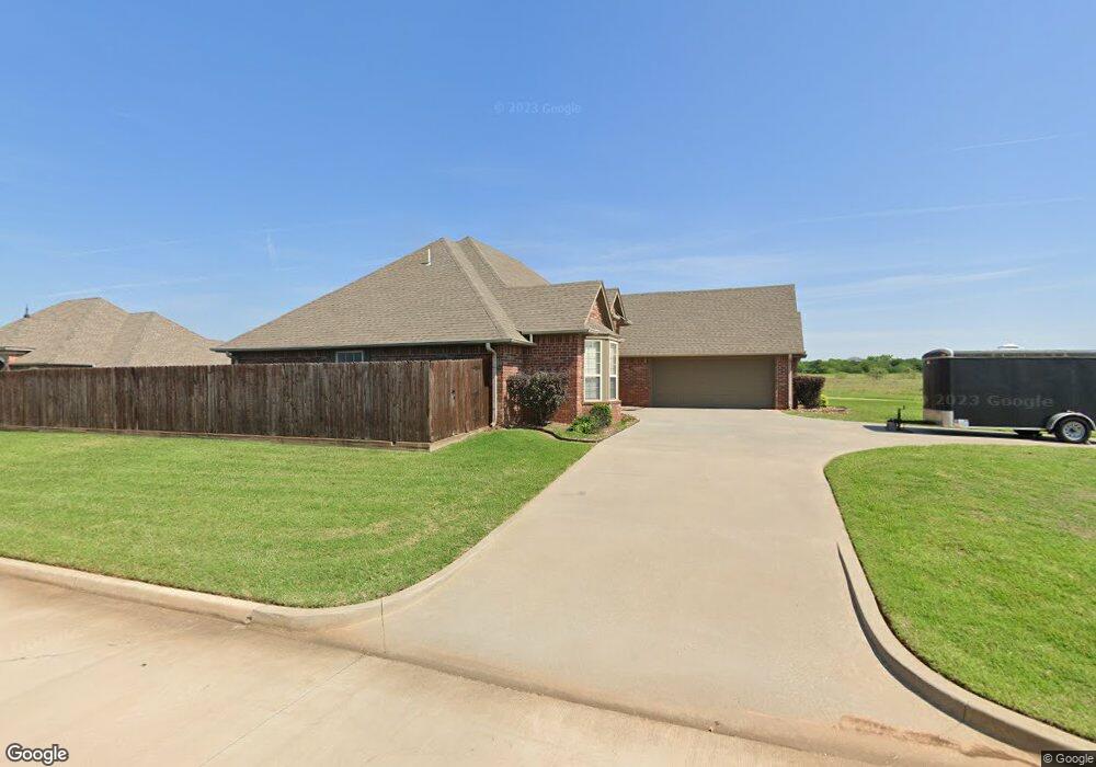
1901 Westbrook Duncan, OK 73533
Estimated Value: $260,000 - $295,000
3
Beds
2
Baths
1,992
Sq Ft
$136/Sq Ft
Est. Value
About This Home
This home is located at 1901 Westbrook, Duncan, OK 73533 and is currently estimated at $271,304, approximately $136 per square foot. 1901 Westbrook is a home located in Stephens County with nearby schools including Horace Mann Elementary School, Duncan Middle School, and Duncan High School.
Ownership History
Date
Name
Owned For
Owner Type
Purchase Details
Closed on
Oct 24, 2006
Sold by
Graham John Wesley
Bought by
Neal Roger Lynn and Neal Melissa Ann
Current Estimated Value
Home Financials for this Owner
Home Financials are based on the most recent Mortgage that was taken out on this home.
Original Mortgage
$203,000
Outstanding Balance
$120,799
Interest Rate
6.41%
Mortgage Type
FHA
Estimated Equity
$150,505
Purchase Details
Closed on
Aug 9, 2005
Sold by
M J Lewis & Associates Inc
Bought by
Graham John Wesley
Create a Home Valuation Report for This Property
The Home Valuation Report is an in-depth analysis detailing your home's value as well as a comparison with similar homes in the area
Purchase History
| Date | Buyer | Sale Price | Title Company |
|---|---|---|---|
| Neal Roger Lynn | $210,000 | Stewart Abstract & Title | |
| Graham John Wesley | $21,000 | None Available |
Source: Public Records
Mortgage History
| Date | Status | Borrower | Loan Amount |
|---|---|---|---|
| Open | Neal Roger Lynn | $203,000 |
Source: Public Records
Tax History
| Year | Tax Paid | Tax Assessment Tax Assessment Total Assessment is a certain percentage of the fair market value that is determined by local assessors to be the total taxable value of land and additions on the property. | Land | Improvement |
|---|---|---|---|---|
| 2025 | $2,053 | $25,335 | $1,989 | $23,346 |
| 2024 | $1,949 | $23,881 | $1,989 | $21,892 |
| 2023 | $1,949 | $23,881 | $1,989 | $21,892 |
| 2022 | $1,829 | $23,186 | $1,989 | $21,197 |
| 2021 | $1,776 | $21,855 | $1,989 | $19,866 |
| 2020 | $1,774 | $21,544 | $1,989 | $19,555 |
| 2019 | $1,825 | $22,092 | $1,989 | $20,103 |
| 2018 | $1,821 | $21,448 | $1,989 | $19,459 |
| 2017 | $1,748 | $21,343 | $1,989 | $19,354 |
| 2016 | $1,770 | $21,827 | $1,989 | $19,838 |
| 2015 | $1,705 | $21,512 | $1,987 | $19,525 |
| 2014 | $1,705 | $20,885 | $1,983 | $18,902 |
Source: Public Records
Map
Nearby Homes
- 2705 Meadowview Dr
- 2333 Rockwell Dr
- 2360 Rockwell Dr
- 2321 Rockwell Dr
- 2387 Rockwell Dr
- 2375 Rockwell Dr
- 2363 Rockwell Dr
- 1829 Terrace Dr
- 2310 Rockwell Dr
- 2201 Mallard
- 2345 Rockwell Dr
- 2407 W Mallard Dr
- 2346 Rockwell Dr
- 2330 Rockwell Dr
- 2318 Rockwell Dr
- 2021 Overland Dr
- 1923 Windsor Dr
- 3885 N Ridgeview Dr
- 2610 Virginia St
- 2024 N Woodrock Dr
- 2505 Meadowview Dr
- 2409 Meadowview Dr
- 2502 Meadowview Dr
- 2502 Meadow View Dr
- 2507 Meadowview Dr
- 2504 Meadowview Dr
- 2507 2507 Meadowview Dr
- 2506 Meadowview Dr
- 2410 Meadowview Dr
- 2407 Meadowview Dr
- 2601 Meadowview Dr
- 2508 Meadowview Dr
- 2508 Meadow View Dr
- 2603 Meadowview Dr
- 2408 Meadowview Dr
- 2405 Meadow View Dr
- 2405 Meadowview Dr
- 2602 Meadowview Dr
- 2406 Meadowview Dr
- 2403 Meadow View Dr
Your Personal Tour Guide
Ask me questions while you tour the home.