19012 State Route 301 Lagrange, OH 44050
Estimated Value: $220,000 - $427,000
3
Beds
2
Baths
1,314
Sq Ft
$248/Sq Ft
Est. Value
About This Home
This home is located at 19012 State Route 301, Lagrange, OH 44050 and is currently estimated at $325,806, approximately $247 per square foot. 19012 State Route 301 is a home located in Lorain County with nearby schools including Keystone Elementary School, Keystone Middle School, and Keystone High School.
Ownership History
Date
Name
Owned For
Owner Type
Purchase Details
Closed on
Aug 10, 1995
Sold by
Chenault Thomas E
Bought by
Mileski David B
Current Estimated Value
Home Financials for this Owner
Home Financials are based on the most recent Mortgage that was taken out on this home.
Original Mortgage
$70,910
Interest Rate
7.51%
Mortgage Type
FHA
Create a Home Valuation Report for This Property
The Home Valuation Report is an in-depth analysis detailing your home's value as well as a comparison with similar homes in the area
Home Values in the Area
Average Home Value in this Area
Purchase History
| Date | Buyer | Sale Price | Title Company |
|---|---|---|---|
| Mileski David B | $71,000 | -- |
Source: Public Records
Mortgage History
| Date | Status | Borrower | Loan Amount |
|---|---|---|---|
| Closed | Mileski David B | $70,910 |
Source: Public Records
Tax History
| Year | Tax Paid | Tax Assessment Tax Assessment Total Assessment is a certain percentage of the fair market value that is determined by local assessors to be the total taxable value of land and additions on the property. | Land | Improvement |
|---|---|---|---|---|
| 2024 | $4,097 | $98,063 | $35,280 | $62,783 |
| 2023 | $2,985 | $59,560 | $29,537 | $30,023 |
| 2022 | $2,964 | $59,560 | $29,537 | $30,023 |
| 2021 | $2,964 | $59,560 | $29,540 | $30,020 |
| 2020 | $2,685 | $48,740 | $24,170 | $24,570 |
| 2019 | $2,668 | $48,740 | $24,170 | $24,570 |
| 2018 | $2,604 | $48,740 | $24,170 | $24,570 |
| 2017 | $2,657 | $46,700 | $22,270 | $24,430 |
| 2016 | $2,638 | $46,700 | $22,270 | $24,430 |
| 2015 | $2,633 | $46,700 | $22,270 | $24,430 |
| 2014 | $2,296 | $46,700 | $22,270 | $24,430 |
| 2013 | $2,225 | $46,700 | $22,270 | $24,430 |
Source: Public Records
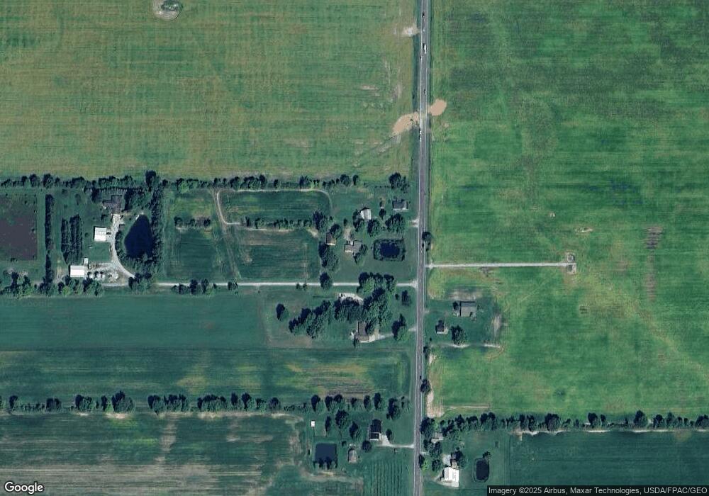
Map
Nearby Homes
- 510 Arabian Ct
- 476 Stallion Ct
- 468 Stallion Ct
- 20630 State Route 301
- 704 Black Bear Run
- 110 Railroad St
- 305 W Main St
- 0 Dill Ct Unit 5072837
- 43311 Peck Wadsworth Rd
- 516 Appomattox Ct
- 0 West Rd Unit 5125531
- 548 William St
- 607 Rundle St
- 0 Ohio 301
- 340 Granger Dr
- 808 Buckingham Dr
- 800 Buckingham Dr
- 801 Willich Ct
- 829 Robinson Dr
- 43902 State Route 303
- 18988 State Route 301
- 19070 State Route 301
- 19081 State Route 301
- 19170 State Route 301
- 19173 Ohio 301
- 19250 State Route 301
- 18791 State Route 301
- 19034 State Route 301
- 19034 State Route 301
- 19173 State Route 301
- 19329 State Route 301
- 19329 Ohio 301
- 19566 State Route 301
- 40956 Webster Rd
- 40914 Webster Rd
- 40872 Webster Rd
- 40816 Webster Rd
- 18565 State Route 301
- 40796 Webster Rd
- 18513 State Route 301