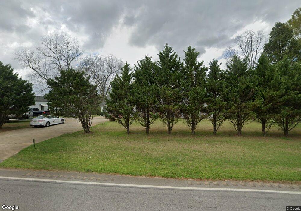
19017 Highway 48 Wedowee, AL 36278
Estimated Value: $372,325 - $663,000
--
Bed
1
Bath
2,900
Sq Ft
$161/Sq Ft
Est. Value
About This Home
This home is located at 19017 Highway 48, Wedowee, AL 36278 and is currently estimated at $467,331, approximately $161 per square foot. 19017 Highway 48 is a home with nearby schools including New Hope School.
Ownership History
Date
Name
Owned For
Owner Type
Purchase Details
Closed on
Feb 14, 2025
Sold by
Cofield R Stanley R and Cofield Sandra
Bought by
Mitchell Gregory Allen and Mitchell Diana M
Current Estimated Value
Home Financials for this Owner
Home Financials are based on the most recent Mortgage that was taken out on this home.
Original Mortgage
$245,000
Outstanding Balance
$243,544
Interest Rate
6.91%
Mortgage Type
New Conventional
Estimated Equity
$223,787
Create a Home Valuation Report for This Property
The Home Valuation Report is an in-depth analysis detailing your home's value as well as a comparison with similar homes in the area
Home Values in the Area
Average Home Value in this Area
Purchase History
| Date | Buyer | Sale Price | Title Company |
|---|---|---|---|
| Mitchell Gregory Allen | $395,000 | None Listed On Document |
Source: Public Records
Mortgage History
| Date | Status | Borrower | Loan Amount |
|---|---|---|---|
| Open | Mitchell Gregory Allen | $245,000 |
Source: Public Records
Tax History Compared to Growth
Tax History
| Year | Tax Paid | Tax Assessment Tax Assessment Total Assessment is a certain percentage of the fair market value that is determined by local assessors to be the total taxable value of land and additions on the property. | Land | Improvement |
|---|---|---|---|---|
| 2024 | -- | $29,620 | $820 | $28,800 |
| 2023 | $678 | $27,220 | $280 | $26,940 |
| 2022 | $0 | $27,220 | $280 | $26,940 |
| 2021 | $734 | $27,220 | $280 | $26,940 |
| 2020 | $734 | $27,220 | $280 | $26,940 |
| 2018 | $734 | $25,440 | $280 | $25,160 |
| 2017 | $0 | $25,440 | $280 | $25,160 |
| 2016 | $478 | $23,740 | $280 | $23,460 |
| 2015 | $478 | $237,455 | $0 | $0 |
| 2014 | -- | $237,455 | $0 | $0 |
| 2013 | $672 | $237,455 | $0 | $0 |
Source: Public Records
Map
Nearby Homes
- 151 Mill St
- Lot 15 Crystal Cove
- Lot 39 Crystal Cove
- 431 Wedowee Rd
- 405 Crystal Cove
- Lot 42 Crystal Cove
- Lot 19 Crystal Cove
- 0 Rock Creek Rd Unit .95 ac 21416952
- 76 Rock Creek Rd
- 77 Mashburn Dr
- 151.13 Acres County Road 673
- 120 Dogwood St
- 0 County Road 475 Unit 21425843
- 0 County Road 475 Unit 10569108
- 0 Highway 431 S Unit 21422528
- 0 Highway 431 S Unit 21422537
- 14875 U S 431 Unit 20 ac
- 26 5th St W
- 534 1st Ave NW
- 356 Fireside Dr
- 19156 Highway 48
- 6478 County Road 67
- 6478 County Road 67
- 6478 County Road 67
- 6478 County Road 67
- 6478 County Road 67
- 6478 County Road 67
- 6478 County Road 67
- 19273 Highway 48
- 345 County Road 614
- 18645 Highway 48
- 19619 Highway 48
- 18442 Highway 48
- 19646 Highway 48
- 643 County Road 614
- 3243 County Road 56
- 116 County Road 600
- 116 County Road 600
- 3083 County Road 56
- 389 County Road 601
