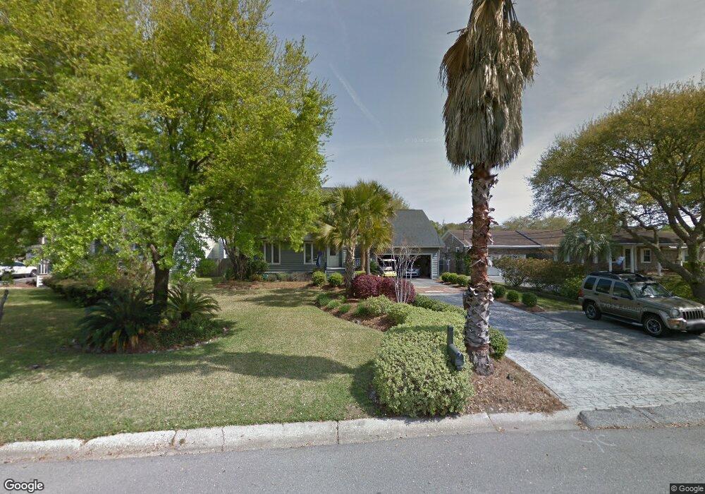
1902 Capri Dr Charleston, SC 29407
West Ashley NeighborhoodEstimated Value: $806,874 - $954,000
3
Beds
3
Baths
2,262
Sq Ft
$390/Sq Ft
Est. Value
About This Home
This home is located at 1902 Capri Dr, Charleston, SC 29407 and is currently estimated at $881,719, approximately $389 per square foot. 1902 Capri Dr is a home located in Charleston County with nearby schools including Stono Park Elementary School, West Ashley High School, and Carolina Voyager Charter.
Ownership History
Date
Name
Owned For
Owner Type
Purchase Details
Closed on
Apr 5, 2012
Sold by
Hough Martin Reba Z
Bought by
Martin Dainel E
Current Estimated Value
Create a Home Valuation Report for This Property
The Home Valuation Report is an in-depth analysis detailing your home's value as well as a comparison with similar homes in the area
Home Values in the Area
Average Home Value in this Area
Purchase History
| Date | Buyer | Sale Price | Title Company |
|---|---|---|---|
| Martin Dainel E | -- | -- |
Source: Public Records
Tax History
| Year | Tax Paid | Tax Assessment Tax Assessment Total Assessment is a certain percentage of the fair market value that is determined by local assessors to be the total taxable value of land and additions on the property. | Land | Improvement |
|---|---|---|---|---|
| 2024 | $2,478 | $16,670 | $0 | $0 |
| 2023 | $2,207 | $16,670 | $0 | $0 |
| 2022 | $2,052 | $16,670 | $0 | $0 |
| 2021 | $2,152 | $16,670 | $0 | $0 |
| 2020 | $2,231 | $16,670 | $0 | $0 |
| 2019 | $1,983 | $14,480 | $0 | $0 |
| 2017 | $1,914 | $14,480 | $0 | $0 |
| 2016 | $1,835 | $14,480 | $0 | $0 |
| 2015 | $1,896 | $14,480 | $0 | $0 |
| 2014 | $1,727 | $0 | $0 | $0 |
| 2011 | -- | $0 | $0 | $0 |
Source: Public Records
Map
Nearby Homes
- 1866 Capri Dr
- 136 River Breeze Dr Unit M136
- 166 River Breeze Dr Unit P166
- 227 Stinson Dr
- 1832 Alice Dr
- 1949 Swift Ave
- 198 River Breeze Dr Unit S198
- 191 Wappoo Rd
- 233 Lands End Dr Unit 77
- 185 Wappoo Rd
- 412 Stinson Dr
- 447 Geddes Ave
- 1910/1912 Piper Dr
- 1910 Piper Dr
- 3006 S Shore Dr
- 3020 S Shore Dr
- 510 Stinson Dr
- 374 Culver Ave
- 507 Stinson Dr Unit 8d
- 381 Arlington Dr
Your Personal Tour Guide
Ask me questions while you tour the home.