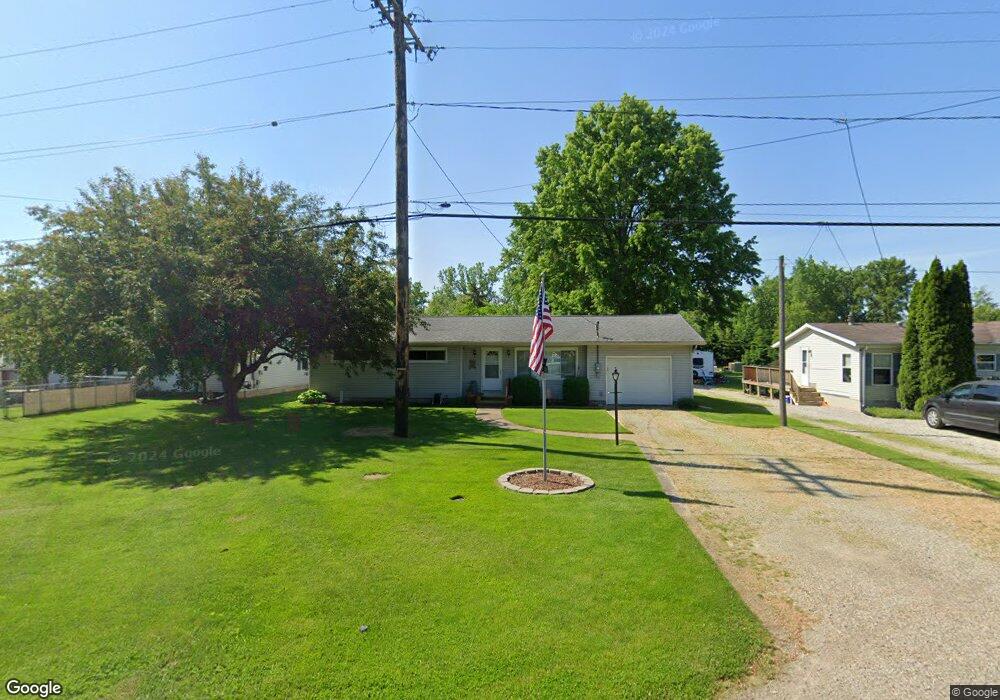
1902 E State Rd Port Clinton, OH 43452
Estimated Value: $130,000 - $152,000
3
Beds
1
Bath
1,036
Sq Ft
$137/Sq Ft
Est. Value
About This Home
This home is located at 1902 E State Rd, Port Clinton, OH 43452 and is currently estimated at $141,707, approximately $136 per square foot. 1902 E State Rd is a home located in Ottawa County with nearby schools including Bataan Memorial Primary School, Bataan Memorial Intermediate School, and Port Clinton Middle School.
Ownership History
Date
Name
Owned For
Owner Type
Purchase Details
Closed on
Jul 8, 2016
Sold by
Bergman Thomas D and Bergman Jean F
Bought by
Warnke Dwayne R
Current Estimated Value
Home Financials for this Owner
Home Financials are based on the most recent Mortgage that was taken out on this home.
Original Mortgage
$74,035
Outstanding Balance
$59,216
Interest Rate
3.64%
Mortgage Type
Future Advance Clause Open End Mortgage
Estimated Equity
$82,491
Purchase Details
Closed on
Sep 11, 2013
Sold by
Hopkins Jean F and Bergman Jean F
Bought by
Bergman Jean F and Bergman Thomas D
Purchase Details
Closed on
Nov 21, 1997
Sold by
Trst Nancy Whipple
Bought by
Hopkins Ernest and Hopkins Jean
Create a Home Valuation Report for This Property
The Home Valuation Report is an in-depth analysis detailing your home's value as well as a comparison with similar homes in the area
Home Values in the Area
Average Home Value in this Area
Purchase History
| Date | Buyer | Sale Price | Title Company |
|---|---|---|---|
| Warnke Dwayne R | $72,000 | Attorney | |
| Bergman Jean F | -- | Attorney | |
| Hopkins Ernest | $58,500 | -- |
Source: Public Records
Mortgage History
| Date | Status | Borrower | Loan Amount |
|---|---|---|---|
| Open | Warnke Dwayne R | $74,035 |
Source: Public Records
Tax History
| Year | Tax Paid | Tax Assessment Tax Assessment Total Assessment is a certain percentage of the fair market value that is determined by local assessors to be the total taxable value of land and additions on the property. | Land | Improvement |
|---|---|---|---|---|
| 2024 | $1,123 | $34,231 | $9,132 | $25,099 |
| 2023 | $1,519 | $25,673 | $5,163 | $20,510 |
| 2022 | $1,308 | $25,673 | $5,163 | $20,510 |
| 2021 | $1,307 | $25,670 | $5,160 | $20,510 |
| 2020 | $1,346 | $25,670 | $5,160 | $20,510 |
| 2019 | $1,329 | $25,670 | $5,160 | $20,510 |
| 2018 | $1,298 | $25,670 | $5,160 | $20,510 |
| 2017 | $1,384 | $26,940 | $5,160 | $21,780 |
| 2016 | $1,362 | $26,940 | $5,160 | $21,780 |
| 2015 | $1,393 | $26,940 | $5,160 | $21,780 |
| 2014 | $652 | $24,380 | $5,160 | $19,220 |
| 2013 | $1,307 | $24,380 | $5,160 | $19,220 |
Source: Public Records
Map
Nearby Homes
- 199 Morningside Dr
- 2650 E Harbor Rd
- 0 E Harbor Rd
- 188 Driftwood Dr
- 164 Driftwood Dr
- 183 Driftwood Dr
- 111 Morningside Dr
- 1807 E Perry St Unit 69
- 19 N Beach St
- 1801 E Perry St Unit 22
- 1801 E Perry St Unit 28
- 1630 Waters Edge Dr
- 311 Walnut St
- 1506 E Perry St
- 116 Walnut St
- 35 N Beach St
- 29 N Beach St
- 232 Beech St
- 1011 E 2nd St
- 801 E 3rd St
- 1904 E State Rd
- 1882 E State Rd
- 1908 E State Rd
- 1866 E State Rd
- 0 E State Rd Unit 20231887
- 0 E State Rd Unit 20220204
- 0 E State Rd Unit 20182629
- 0 E State Rd Unit 20192212
- 0 E State Rd Unit 20174292
- 0 E State Rd Unit 20150506
- 0 E State Rd Unit 20170552
- 0 E State Rd Unit 20162458
- 0 W East Ohmswood Dr
- 0 E State Rd Unit 20151734
- 0 E State Rd Unit 901474
- 0 E State Rd Unit 803833
- 0 E State Rd Unit 900012
- 0 E State Rd Unit 803780
- 0 E State Rd Unit 800096
- 0 E State Rd Unit 4463700
Your Personal Tour Guide
Ask me questions while you tour the home.