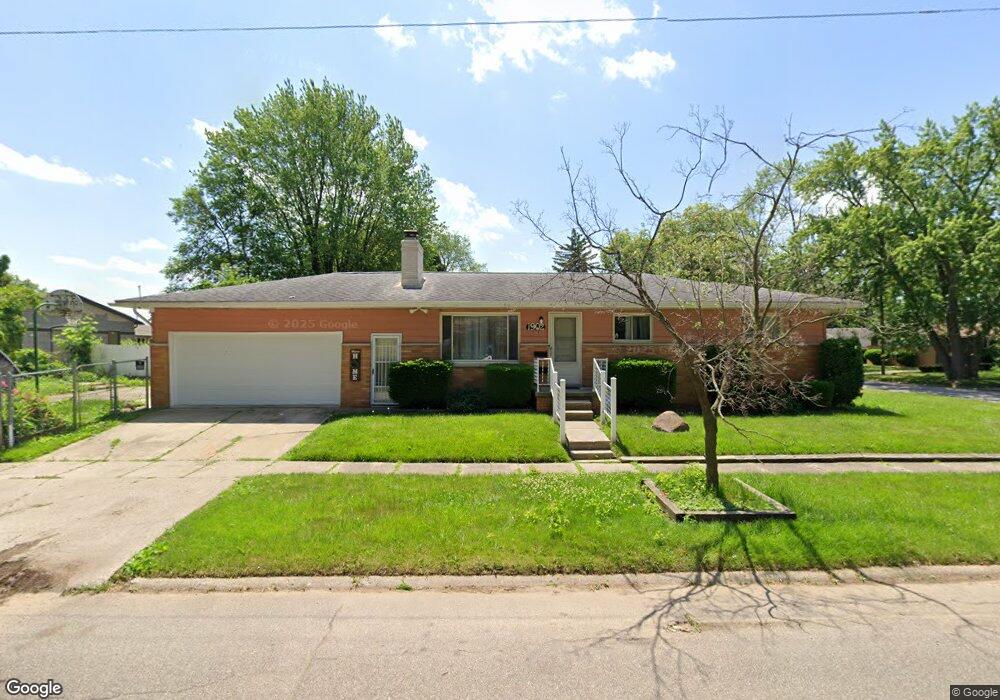
1902 Kent St Flint, MI 48503
South Parks NeighborhoodEstimated Value: $80,000 - $101,680
3
Beds
1
Bath
1,089
Sq Ft
$81/Sq Ft
Est. Value
About This Home
This home is located at 1902 Kent St, Flint, MI 48503 and is currently estimated at $87,670, approximately $80 per square foot. 1902 Kent St is a home located in Genesee County with nearby schools including Freeman Elementary School, Flint Southwestern Classical Academy, and International Academy of Flint (K-12).
Ownership History
Date
Name
Owned For
Owner Type
Purchase Details
Closed on
Jan 4, 2022
Sold by
Taylor Mary E
Bought by
Jones Lakisha
Current Estimated Value
Home Financials for this Owner
Home Financials are based on the most recent Mortgage that was taken out on this home.
Original Mortgage
$46,400
Outstanding Balance
$36,686
Interest Rate
2.63%
Mortgage Type
New Conventional
Estimated Equity
$50,984
Purchase Details
Closed on
Oct 5, 2018
Sold by
Harvey John T and Harvey Lela N
Bought by
Taylor Mary E
Create a Home Valuation Report for This Property
The Home Valuation Report is an in-depth analysis detailing your home's value as well as a comparison with similar homes in the area
Home Values in the Area
Average Home Value in this Area
Purchase History
| Date | Buyer | Sale Price | Title Company |
|---|---|---|---|
| Jones Lakisha | $62,000 | None Listed On Document | |
| Taylor Mary E | $17,500 | None Available |
Source: Public Records
Mortgage History
| Date | Status | Borrower | Loan Amount |
|---|---|---|---|
| Open | Jones Lakisha | $46,400 |
Source: Public Records
Tax History
| Year | Tax Paid | Tax Assessment Tax Assessment Total Assessment is a certain percentage of the fair market value that is determined by local assessors to be the total taxable value of land and additions on the property. | Land | Improvement |
|---|---|---|---|---|
| 2025 | $1,644 | $48,700 | $0 | $0 |
| 2024 | $1,466 | $42,800 | $0 | $0 |
| 2023 | $1,427 | $36,500 | $0 | $0 |
| 2022 | $0 | $32,700 | $0 | $0 |
| 2021 | $1,498 | $27,700 | $0 | $0 |
| 2020 | $1,328 | $22,400 | $0 | $0 |
| 2019 | $1,585 | $20,500 | $0 | $0 |
| 2018 | $1,007 | $19,400 | $0 | $0 |
| 2017 | $977 | $0 | $0 | $0 |
| 2016 | $970 | $0 | $0 | $0 |
| 2015 | -- | $0 | $0 | $0 |
| 2014 | -- | $0 | $0 | $0 |
| 2012 | -- | $19,300 | $0 | $0 |
Source: Public Records
Map
Nearby Homes
- 1840 Mcphail St
- 1851 Seymour Ave
- 1814 Mcphail St
- 1930 Owen St
- 9211 Owen St
- 2033 Seymour Ave
- 2029 Winans Ave
- 1510 S Franklin Ave
- 2010 Crocker Ave
- 1114 W Vernon Dr
- 2221 Howard Ave
- 1925 Gilmartin St
- 3373 Kent St
- 1856 Tebo St
- 1828 Tebo St
- 1210 Blanchard Ave
- 2224 Crocker Ave
- 2050 Ferris Ave
- 1840 S Averill Ave
- 420 Pingree Ave
- 1905 Whittlesey St
- 1909 Whittlesey St
- 1901 Kent St
- 1902 Chelan St
- 1913 Whittlesey St
- 1851 Whittlesey St
- 1917 Kent St
- 1914 Chelan St
- 1820 Kent St
- 1906 Whittlesey St
- 1850 Chelan St
- 1910 Whittlesey St
- 1847 Whittlesey St
- 1817 Kent St
- 1914 Whittlesey St
- 1850 Whittlesey St
- 1846 Chelan St
- 1918 Chelan St
- 1843 Whittlesey St
- 1846 Whittlesey St
Your Personal Tour Guide
Ask me questions while you tour the home.