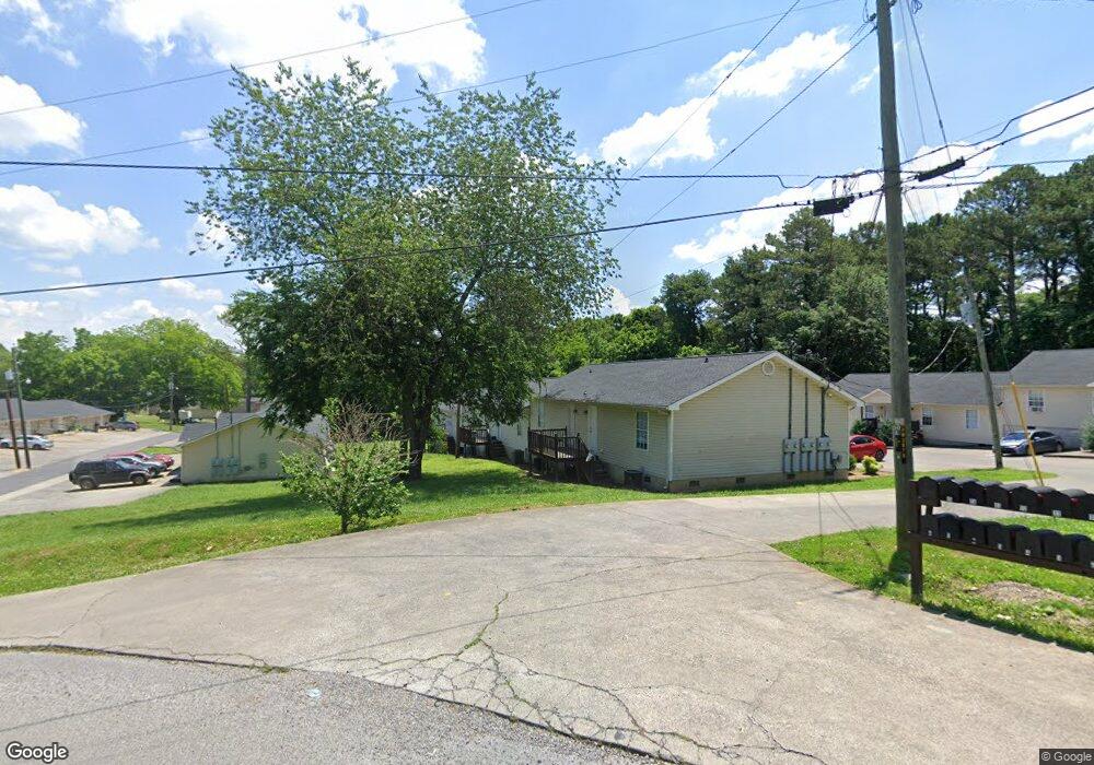
1902 Lawson Ave Dalton, GA 30720
Studio
--
Bath
11,338
Sq Ft
53,579
Sq Ft Lot
About This Home
This home is located at 1902 Lawson Ave, Dalton, GA 30720. 1902 Lawson Ave is a home located in Whitfield County with nearby schools including Dug Gap Elementary School, Valley Point Middle School, and Southeast Whitfield County High School.
Ownership History
Date
Name
Owned For
Owner Type
Purchase Details
Closed on
Aug 15, 2018
Sold by
Stanley
Bought by
Gateway Dalton I Limited Liability Co Ll
Purchase Details
Closed on
Jun 24, 2011
Sold by
Stanley
Bought by
Stanley
Purchase Details
Closed on
Nov 18, 2004
Sold by
Kirkland Ronnie
Bought by
Stanley And Bivens Investments Llc
Purchase Details
Closed on
Mar 11, 2003
Sold by
Byers Ricky R
Bought by
Kirkland Ronnie
Purchase Details
Closed on
Aug 1, 1997
Bought by
Byers Ricky R
Create a Home Valuation Report for This Property
The Home Valuation Report is an in-depth analysis detailing your home's value as well as a comparison with similar homes in the area
Purchase History
| Date | Buyer | Sale Price | Title Company |
|---|---|---|---|
| Gateway Dalton I Limited Liability Co Ll | $1,944,000 | -- | |
| Stanley | -- | -- | |
| Stanley And Bivens Investments Llc | $506,000 | -- | |
| Kirkland Ronnie | $531,900 | -- | |
| Byers Ricky R | $20,000 | -- |
Source: Public Records
Tax History
| Year | Tax Paid | Tax Assessment Tax Assessment Total Assessment is a certain percentage of the fair market value that is determined by local assessors to be the total taxable value of land and additions on the property. | Land | Improvement |
|---|---|---|---|---|
| 2025 | $12,782 | $416,308 | $73,800 | $342,508 |
| 2024 | $12,782 | $416,308 | $73,800 | $342,508 |
| 2023 | $9,171 | $310,952 | $16,015 | $294,937 |
| 2022 | $6,869 | $232,906 | $16,015 | $216,891 |
| 2021 | $6,872 | $232,906 | $16,015 | $216,891 |
| 2020 | $6,193 | $202,995 | $16,015 | $186,980 |
| 2019 | $6,294 | $202,995 | $16,015 | $186,980 |
| 2018 | $6,396 | $202,995 | $16,015 | $186,980 |
| 2017 | $6,399 | $202,995 | $16,015 | $186,980 |
| 2016 | $6,154 | $202,995 | $16,015 | $186,980 |
| 2014 | $5,465 | $203,039 | $16,015 | $187,024 |
| 2013 | -- | $203,039 | $16,014 | $187,024 |
Source: Public Records
Map
Nearby Homes
- 439 Florence Ave
- 440 Florence Ave
- 450 Florence Ave
- 1800 Malone Dr
- 1802 Malone Dr
- 124 Levi Dr
- 1541 Threadmill Rd
- 3012 E Brookhaven Cir
- 115& 134 Independence Way
- 1632 Rio Vista Dr
- 1902 W Brookhaven Cir
- 0 Horizon Ct Unit 130497
- 0 Horizon Ct Unit 130499
- 0 Horizon Ct Unit 130479
- 0 Horizon Ct Unit 130477
- 0 Horizon Ct Unit 130478
- 0 Horizon Ct Unit 130496
- 0 Horizon Ct Unit 130498
- 1609 Ryman Ridge Rd
- 1301 Swann Dr
- 503 Mccharles St
- 607 Mccharles St
- 410 Griggs Dr
- 535 Mccharles St
- 402 Griggs Dr
- 403 Florence Ave
- 398 Florence Ave
- 606 Mccharles St
- 413 Griggs Dr
- 405 Griggs Dr
- 1916 Lawson Ave
- 302 Foster Rd
- 609 Mccharles St
- 396 Florence Ave
- 390 Florence Ave
- 409 Florence Ave
- 1848 Magnolia Ave
- 417 Florence Ave
- 400 Florence Ave
- 308 Foster Rd
Your Personal Tour Guide
Ask me questions while you tour the home.