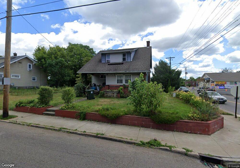
1902 Maple Ave NE Canton, OH 44714
Colonial Heights NeighborhoodEstimated Value: $95,000 - $126,000
3
Beds
2
Baths
1,472
Sq Ft
$77/Sq Ft
Est. Value
About This Home
This home is located at 1902 Maple Ave NE, Canton, OH 44714 and is currently estimated at $112,758, approximately $76 per square foot. 1902 Maple Ave NE is a home located in Stark County with nearby schools including Belle Stone Elementary School, Early Learning Center @ Schreiber, and Youtz Intermediate School.
Ownership History
Date
Name
Owned For
Owner Type
Purchase Details
Closed on
Feb 25, 2003
Sold by
Rodgers Donna M
Bought by
Rodgers John
Current Estimated Value
Home Financials for this Owner
Home Financials are based on the most recent Mortgage that was taken out on this home.
Original Mortgage
$55,250
Outstanding Balance
$26,310
Interest Rate
7.37%
Mortgage Type
Purchase Money Mortgage
Estimated Equity
$86,448
Purchase Details
Closed on
Sep 9, 1994
Sold by
Property Inv Group Ltd
Bought by
Rodgers John B and Rodgers Donna
Home Financials for this Owner
Home Financials are based on the most recent Mortgage that was taken out on this home.
Original Mortgage
$39,800
Interest Rate
8.65%
Mortgage Type
New Conventional
Create a Home Valuation Report for This Property
The Home Valuation Report is an in-depth analysis detailing your home's value as well as a comparison with similar homes in the area
Home Values in the Area
Average Home Value in this Area
Purchase History
| Date | Buyer | Sale Price | Title Company |
|---|---|---|---|
| Rodgers John | -- | -- | |
| Rodgers John B | $41,900 | -- |
Source: Public Records
Mortgage History
| Date | Status | Borrower | Loan Amount |
|---|---|---|---|
| Open | Rodgers John | $55,250 | |
| Closed | Rodgers John B | $39,800 |
Source: Public Records
Tax History
| Year | Tax Paid | Tax Assessment Tax Assessment Total Assessment is a certain percentage of the fair market value that is determined by local assessors to be the total taxable value of land and additions on the property. | Land | Improvement |
|---|---|---|---|---|
| 2025 | -- | $33,220 | $8,120 | $25,100 |
| 2024 | $127 | $33,220 | $8,120 | $25,100 |
| 2023 | $790 | $21,740 | $5,220 | $16,520 |
| 2022 | $1,292 | $21,740 | $5,220 | $16,520 |
| 2021 | $1,305 | $21,740 | $5,220 | $16,520 |
| 2020 | $1,181 | $17,610 | $4,200 | $13,410 |
| 2019 | $1,034 | $17,610 | $4,200 | $13,410 |
Source: Public Records
Map
Nearby Homes
- 0 Dover Ave NE
- 1607 18th St NE
- 2015 Gross Ave NE
- 1624 May Place NE
- 1416 19th St NE
- 1610 23rd St NE
- 2010 18th St NE
- 2111 21st St NE
- 0 Rowland Ave NE Unit 5089960
- 1517 16th St NE
- 2219 Rowland Ave NE
- 1610 Colonial Blvd NE
- 2211 17th St NE
- 1218 24th St NE
- 1210 17th St NE
- 1410 Colonial Blvd NE
- 2216 17th St NE
- 2102 16th St NE
- 2322 21st St NE
- 1716 Gibbs Ave NE
- 1906 Maple Ave NE
- 1713 19th St NE
- 1910 Maple Ave NE
- 1901 Maple Ave NE
- 1905 Maple Ave NE
- 1857 Maple Ave NE
- 1836 Maple Ave NE
- 0 Maple Ave NE Unit 3350330
- 0 Maple Ave NE Unit 3350329
- 0 Maple Ave NE Unit 4283475
- 1920 Maple Ave NE
- 1919 Maple Ave NE
- 1851 Maple Ave NE
- 1820 Maple Ave NE
- 1642 19th St NE
- 1823 Maple Ave NE
- 1924 Maple Ave NE
- 1641 19th St NE
- 1923 Maple Ave NE
- 1816 Maple Ave NE
Your Personal Tour Guide
Ask me questions while you tour the home.