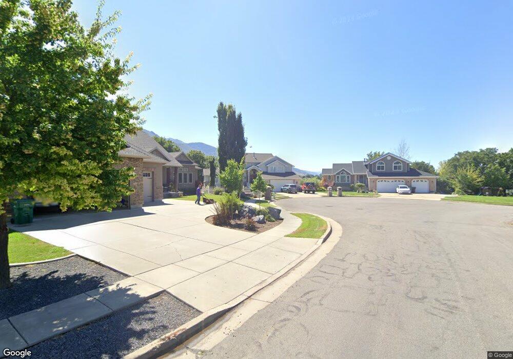
1902 N 2150 E Layton, UT 84040
Estimated Value: $645,000 - $834,000
5
Beds
3
Baths
3,493
Sq Ft
$214/Sq Ft
Est. Value
About This Home
This home is located at 1902 N 2150 E, Layton, UT 84040 and is currently estimated at $748,256, approximately $214 per square foot. 1902 N 2150 E is a home located in Davis County with nearby schools including Sarah Jane Adams Elementary School, North Layton Junior High School, and Northridge High School.
Ownership History
Date
Name
Owned For
Owner Type
Purchase Details
Closed on
Jun 1, 2012
Sold by
Sawley Ward and Sawley Pat A
Bought by
Ganus Mark
Current Estimated Value
Purchase Details
Closed on
May 3, 2006
Sold by
Sawley Sharon
Bought by
Wells Fargo Bank Na
Purchase Details
Closed on
Sep 21, 1999
Sold by
Piper Cheryl A
Bought by
Sawley Ward and Sawley Pat A
Home Financials for this Owner
Home Financials are based on the most recent Mortgage that was taken out on this home.
Original Mortgage
$231,800
Interest Rate
5.65%
Create a Home Valuation Report for This Property
The Home Valuation Report is an in-depth analysis detailing your home's value as well as a comparison with similar homes in the area
Home Values in the Area
Average Home Value in this Area
Purchase History
| Date | Buyer | Sale Price | Title Company |
|---|---|---|---|
| Ganus Mark | -- | Mountain View Title & | |
| Wells Fargo Bank Na | $94,435 | Inwest Title Services Inc | |
| Sawley Ward | -- | Mountain View Title & Escrow |
Source: Public Records
Mortgage History
| Date | Status | Borrower | Loan Amount |
|---|---|---|---|
| Previous Owner | Sawley Ward | $231,800 |
Source: Public Records
Tax History
| Year | Tax Paid | Tax Assessment Tax Assessment Total Assessment is a certain percentage of the fair market value that is determined by local assessors to be the total taxable value of land and additions on the property. | Land | Improvement |
|---|---|---|---|---|
| 2025 | $4,062 | $396,550 | $144,276 | $252,274 |
| 2024 | $3,800 | $375,650 | $164,310 | $211,340 |
| 2023 | $3,764 | $662,000 | $213,922 | $448,078 |
| 2022 | $3,900 | $374,550 | $115,407 | $259,143 |
| 2021 | $3,428 | $489,000 | $176,701 | $312,299 |
| 2020 | $3,127 | $427,000 | $147,366 | $279,634 |
| 2019 | $3,121 | $420,000 | $130,706 | $289,294 |
| 2018 | $2,838 | $383,000 | $105,157 | $277,843 |
| 2016 | $2,976 | $211,420 | $54,629 | $156,791 |
| 2015 | $2,994 | $203,115 | $54,629 | $148,486 |
| 2014 | $2,802 | $195,230 | $54,629 | $140,601 |
| 2013 | -- | $196,296 | $59,770 | $136,526 |
Source: Public Records
Map
Nearby Homes
- 1907 N Bridge Ct
- 2391 Kays Creek Dr
- 1843 Hayes Dr
- 2202 N 2300 E
- 2509 E 1900 N
- 2273 N 1975 E
- 2547 E 1900 N
- 2189 N 1950 E
- 2340 N 2050 E
- 1975 E 1425 N
- 1954 N 2600 E
- 2124 E Cherry Ln
- 1540 E Primrose Ln
- 1332 N 2350 E
- 2563 E 2250 N
- 1476 Kays Creek Dr
- 2113 E 1200 N
- 2096 N 1450 E
- 1465 E Sego Lily Ct
- 2136 N 2800 E
- 1915 N 2150 E
- 2140 E 1900 N
- 1922 N 2150 E
- 2357 E 1900 N
- 1925 N 2150 E
- 1892 Forest Ridge Dr
- 1960 N 2150 E
- 1879 N Brom Cir
- 2115 E 1900 N
- 2176 E Rolling Oaks Ln
- 1856 Forest Ridge Dr
- 1852 N Katrina Ct
- 1886 N Brom Cir
- 1879 N 2215 E
- 1935 N 2150 E
- 1941 N 2150 E
- 2102 Forest Ridge Dr
- 1917 N Bridge Ct
- 1917 N Bridge Ct Unit 17
- 2070 E 1900 N
Your Personal Tour Guide
Ask me questions while you tour the home.