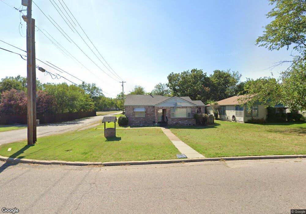
1902 N Union Ave Shawnee, OK 74804
Estimated Value: $193,000 - $206,000
3
Beds
2
Baths
1,802
Sq Ft
$110/Sq Ft
Est. Value
About This Home
This home is located at 1902 N Union Ave, Shawnee, OK 74804 and is currently estimated at $198,093, approximately $109 per square foot. 1902 N Union Ave is a home located in Pottawatomie County with nearby schools including Will Rogers Elementary School, Shawnee Middle School, and Shawnee High School.
Ownership History
Date
Name
Owned For
Owner Type
Purchase Details
Closed on
Sep 24, 2025
Sold by
Guinn Cindy and Guinn Billy Jack
Bought by
Guinn 2025 Revocable Trust and Guinn
Current Estimated Value
Purchase Details
Closed on
Feb 27, 2025
Sold by
Long Kathy Darlene and Long Stephen M
Bought by
Guinn Billy Jack and Guinn Doran Lacindy
Purchase Details
Closed on
Jul 26, 2005
Sold by
Kirby Norris F
Bought by
Kirby Norris F and Long Kathy D
Create a Home Valuation Report for This Property
The Home Valuation Report is an in-depth analysis detailing your home's value as well as a comparison with similar homes in the area
Home Values in the Area
Average Home Value in this Area
Purchase History
| Date | Buyer | Sale Price | Title Company |
|---|---|---|---|
| Guinn 2025 Revocable Trust | -- | None Listed On Document | |
| Guinn Billy Jack | $120,000 | Stewart-Ok City | |
| Kirby Norris F | -- | None Available |
Source: Public Records
Tax History Compared to Growth
Tax History
| Year | Tax Paid | Tax Assessment Tax Assessment Total Assessment is a certain percentage of the fair market value that is determined by local assessors to be the total taxable value of land and additions on the property. | Land | Improvement |
|---|---|---|---|---|
| 2024 | $608 | $7,023 | $668 | $6,355 |
| 2023 | $608 | $6,819 | $651 | $6,168 |
| 2022 | $577 | $6,620 | $629 | $5,991 |
| 2021 | $547 | $6,621 | $628 | $5,993 |
| 2020 | $530 | $6,241 | $589 | $5,652 |
| 2019 | $528 | $6,060 | $561 | $5,499 |
| 2018 | $500 | $5,883 | $537 | $5,346 |
| 2017 | $475 | $5,711 | $465 | $5,246 |
| 2016 | $464 | $5,545 | $438 | $5,107 |
| 2015 | $438 | $5,383 | $394 | $4,989 |
| 2014 | $423 | $5,227 | $383 | $4,844 |
Source: Public Records
Map
Nearby Homes
- 1901 N Bell Ave
- 1817 N Bell Ave
- 1816 N Bell Ave
- 210 E Cammack
- 1801 N Broadway Ave
- 2021 N Broadway Ave
- 401 E Federal St
- 1510 N Union Ave
- 1602 N Bdwy
- 1712 N Pennsylvania Ave
- 1607 N Beard Ave
- 1925 N Park Ave
- 10 W Midland St
- 1710 N Park Ave
- 2304 N Tucker Ave
- 2001 N Mckinley Ave
- 806 E Midland St
- 0 Independence and Minnesota St
- 108 E Pulaski St
- 2415 N Minnesota Cir
- 1912 N Union Ave
- 1916 N Union Ave
- 1930 N Union Ave
- 1829 N Union Ave
- 1932 N Union Ave
- 1920 N Union Ave
- 1901 N Union Ave
- 1924 N Union Ave
- 1827 N Union Ave
- 105 E Emmett St
- 1831 N Union Ave
- 1919 N Union Ave
- 1823 N Bell Ave
- 1923 N Union Ave
- 1904 N Park Ave
- 1830 N Phil Ave
- 1835 N Philadelphia Ave
- 1906 N Phil Ave
- 1919 N Bell Ave