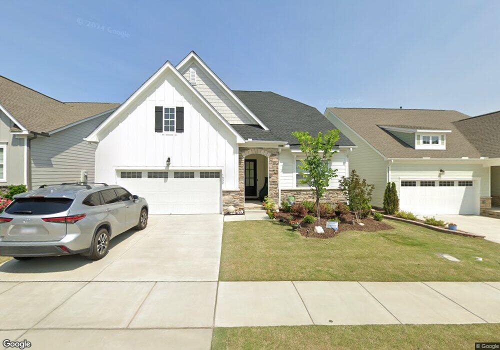
1902 Rothesay Dr Apex, NC 27502
Friendship NeighborhoodEstimated Value: $700,341 - $724,000
3
Beds
3
Baths
2,700
Sq Ft
$264/Sq Ft
Est. Value
About This Home
This home is located at 1902 Rothesay Dr, Apex, NC 27502 and is currently estimated at $712,335, approximately $263 per square foot. 1902 Rothesay Dr is a home located in Wake County with nearby schools including Apex Friendship Elementary, Apex Friendship Middle School, and Apex Friendship High School.
Ownership History
Date
Name
Owned For
Owner Type
Purchase Details
Closed on
Dec 19, 2023
Sold by
Segel Barry Philip and Segel Sheryl Ann
Bought by
Segel-Parkhurst Living Trust and Segel
Current Estimated Value
Purchase Details
Closed on
Aug 27, 2020
Sold by
Calatlantic Group Inc
Bought by
Segel Barry Philip and Parkhurst Sheryl Ann
Home Financials for this Owner
Home Financials are based on the most recent Mortgage that was taken out on this home.
Original Mortgage
$265,990
Interest Rate
2.9%
Mortgage Type
New Conventional
Create a Home Valuation Report for This Property
The Home Valuation Report is an in-depth analysis detailing your home's value as well as a comparison with similar homes in the area
Home Values in the Area
Average Home Value in this Area
Purchase History
| Date | Buyer | Sale Price | Title Company |
|---|---|---|---|
| Segel-Parkhurst Living Trust | -- | None Listed On Document | |
| Segel Barry Philip | $436,000 | None Available |
Source: Public Records
Mortgage History
| Date | Status | Borrower | Loan Amount |
|---|---|---|---|
| Previous Owner | Segel Barry Philip | $265,990 |
Source: Public Records
Tax History Compared to Growth
Tax History
| Year | Tax Paid | Tax Assessment Tax Assessment Total Assessment is a certain percentage of the fair market value that is determined by local assessors to be the total taxable value of land and additions on the property. | Land | Improvement |
|---|---|---|---|---|
| 2025 | $5,952 | $679,472 | $130,000 | $549,472 |
| 2024 | $5,819 | $679,472 | $130,000 | $549,472 |
| 2023 | $4,925 | $447,103 | $75,000 | $372,103 |
| 2022 | $4,623 | $447,103 | $75,000 | $372,103 |
| 2021 | $4,446 | $447,103 | $75,000 | $372,103 |
| 2020 | $184 | $75,000 | $75,000 | $0 |
| 2019 | $965 | $85,000 | $85,000 | $0 |
Source: Public Records
Map
Nearby Homes
- 1913 Stanlake Dr
- 3112 Mavisbank Cir
- 610 Cable Ct
- 616 Cable Ct
- 0-0 Mount Zion Church Rd
- 0 Mount Zion Church Rd
- 3138 Curling Creek Dr
- 2701 Sugar Mountain Way
- 3156 Curling Creek Dr
- 2010 Song Breeze Ln
- 1608 Kythira Dr
- 2876 MacIntosh Woods Dr
- 614 Cable Ct
- 2842 Lemnos Dr
- 2928 Murray Ridge Trail
- 2751 Lake Waccamaw Trail
- 2849 Dallas Valley Ln
- 2966 Lemnos Dr
- 0 Humie Olive Rd
- 2530 Olive Chapel Rd
- 1906 Rothesay Dr Unit 375
- 1898 Rothesay Dr
- 2904 Mavisbank Cir
- 2913 Balbardie Dr
- 2908 Mavisbank Cir Unit 378
- 2900 Mavisbank Cir
- 2900 Mavisbank Cir Unit 376
- 2909 Balbardie Dr
- 2917 Balbardie Dr
- 2914 Mavisbank Cir
- 2905 Balbardie Dr
- 1903 Rothesay Dr
- 1899 Rothesay Dr
- 2921 Balbardie Dr
- 2920 Mavisbank Cir Unit 380
- 1895 Rothesay Dr Unit 291
- 1895 Rothesay Dr
- 2901 Balbardie Dr
- 1907 Rothesay Dr
- 1911 Rothesay Dr