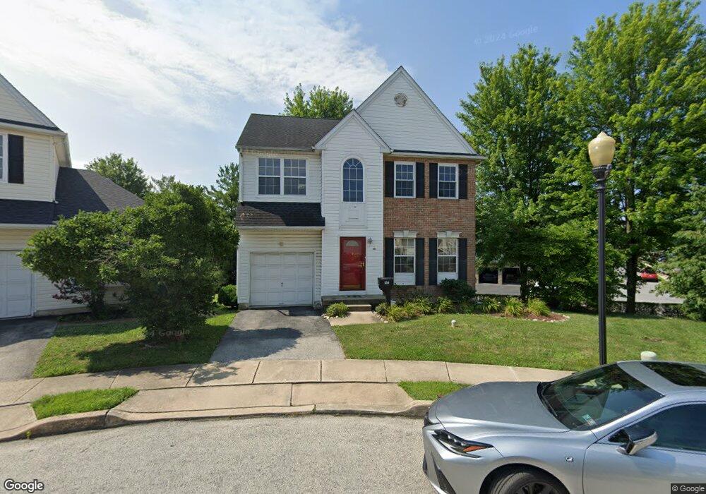
1902 Shasta Cir Morton, PA 19070
Estimated Value: $374,000 - $493,000
3
Beds
3
Baths
2,042
Sq Ft
$210/Sq Ft
Est. Value
About This Home
This home is located at 1902 Shasta Cir, Morton, PA 19070 and is currently estimated at $428,569, approximately $209 per square foot. 1902 Shasta Cir is a home located in Delaware County with nearby schools including Amosland El School, Ridley Middle School, and Ridley High School.
Ownership History
Date
Name
Owned For
Owner Type
Purchase Details
Closed on
Sep 26, 1995
Sold by
Hellings Properties Ltd Prtnrshp Ridley
Bought by
Mckinney Roy
Current Estimated Value
Home Financials for this Owner
Home Financials are based on the most recent Mortgage that was taken out on this home.
Original Mortgage
$169,000
Interest Rate
7.89%
Mortgage Type
Balloon
Create a Home Valuation Report for This Property
The Home Valuation Report is an in-depth analysis detailing your home's value as well as a comparison with similar homes in the area
Home Values in the Area
Average Home Value in this Area
Purchase History
| Date | Buyer | Sale Price | Title Company |
|---|---|---|---|
| Mckinney Roy | $177,900 | -- |
Source: Public Records
Mortgage History
| Date | Status | Borrower | Loan Amount |
|---|---|---|---|
| Closed | Mckinney Roy | $169,000 |
Source: Public Records
Tax History
| Year | Tax Paid | Tax Assessment Tax Assessment Total Assessment is a certain percentage of the fair market value that is determined by local assessors to be the total taxable value of land and additions on the property. | Land | Improvement |
|---|---|---|---|---|
| 2025 | $6,911 | $199,050 | $56,760 | $142,290 |
| 2024 | $6,911 | $199,050 | $56,760 | $142,290 |
| 2023 | $6,611 | $199,050 | $56,760 | $142,290 |
| 2022 | $6,399 | $199,050 | $56,760 | $142,290 |
| 2021 | $9,905 | $199,050 | $56,760 | $142,290 |
| 2020 | $10,107 | $178,920 | $43,640 | $135,280 |
| 2019 | $9,922 | $178,920 | $43,640 | $135,280 |
| 2018 | $9,799 | $178,920 | $0 | $0 |
| 2017 | $9,799 | $178,920 | $0 | $0 |
| 2016 | $982 | $178,920 | $0 | $0 |
| 2015 | $982 | $178,920 | $0 | $0 |
| 2014 | $982 | $178,920 | $0 | $0 |
Source: Public Records
Map
Nearby Homes
- 720 Kedron Ave
- 2158 6th Ave
- 216-218 President Ave
- 2143 Haig Ave
- 21 Faraday Ct
- 201 W Sylvan Ave
- 1828 5th Ave
- 361 Cedar Ave
- 514 Ridley Ave
- 363 Holmes Rd
- 150 Kedron Ave
- 1015 Mitchell Ave
- 363 Hutchinson Terrace
- 204 Rutledge Ave
- 139 Talbot Ave
- 1002 11th Ave
- 2 Yale Ave
- 7 & 0 Woodland Ave
- 211 Cedar Ave
- 2323 Mole Rd
- 1906 Shasta Cir
- 1901 Shasta Cir
- 1910 Shasta Cir
- 1914 Shasta Cir
- 1905 Shasta Cir
- 1901 Bradford Place
- 1905 Bradford Place
- 1909 Shasta Cir
- 1918 Shasta Cir
- 1913 Shasta Cir
- 1909 Bradford Place
- 1902 Bradford Place
- 655 Acer Ave
- 651 Acer Ave
- 1917 Shasta Cir
- 1906 Bradford Place
- 709 Kedron Ave
- 635 Foxglove Dr
- 675 Acer Ave
- 639 Foxglove Dr
Your Personal Tour Guide
Ask me questions while you tour the home.