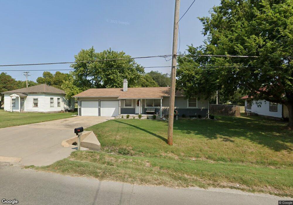
1902 Simpson Ave Winfield, KS 67156
Estimated Value: $127,000 - $152,130
About This Home
This home is located at 1902 Simpson Ave, Winfield, KS 67156 and is currently estimated at $140,033, approximately $145 per square foot. 1902 Simpson Ave is a home located in Cowley County with nearby schools including Winfield High School, Trinity Lutheran School, and Holy Name Catholic School.
Ownership History
We collect this data history from publicly available records. To have your information removed, we recommend requesting removal directly through your county’s website.
Purchase Details
Home Financials for this Owner
Home Financials are based on the most recent Mortgage that was taken out on this home.Home Values in the Area
Average Home Value in this Area
Purchase History
We collect this data history from publicly available records. To have your information removed, we recommend requesting removal directly through your county’s website.
| Date | Buyer | Sale Price | Title Company |
|---|---|---|---|
| -- | -- |
Mortgage History
We collect this data history from publicly available records. To have your information removed, we recommend requesting removal directly through your county’s website.
| Date | Status | Borrower | Loan Amount |
|---|---|---|---|
| Open | $63,897 |
Tax History
We collect this data history from publicly available records. To have your information removed, we recommend requesting removal directly through your county’s website.
| Year | Tax Paid | Tax Assessment Tax Assessment Total Assessment is a certain percentage of the fair market value that is determined by local assessors to be the total taxable value of land and additions on the property. | Land | Improvement |
|---|---|---|---|---|
| 2025 | $2,177 | $14,746 | $2,264 | $12,482 |
| 2024 | $1,992 | $13,572 | $2,264 | $11,308 |
| 2023 | $1,943 | $12,278 | $2,264 | $10,014 |
| 2022 | $1,723 | $10,963 | $2,218 | $8,745 |
| 2021 | $1,723 | $9,861 | $2,021 | $7,840 |
| 2020 | $1,722 | $9,819 | $1,196 | $8,623 |
| 2019 | $1,675 | $9,637 | $1,335 | $8,302 |
| 2018 | $1,558 | $9,074 | $888 | $8,186 |
| 2017 | $1,549 | $9,074 | $848 | $8,226 |
| 2016 | $1,355 | $8,093 | $864 | $7,229 |
| 2015 | -- | $8,093 | $468 | $7,625 |
| 2014 | -- | $7,855 | $690 | $7,165 |
Map
- 439 Stevens St
- Lot 5 Ames Ave
- Lot 6 Ames Ave
- Lot 4 Ames Ave
- Lot 2 Ames Ave
- Lot 3 Ames Ave
- 1720 Simpson Ave
- Lot 11 Simpson Ave
- Lot 12 Simpson Ave
- 621 Alexander St
- 1702 Simpson Ave
- 704 Wheat Rd
- TBD Simpson & Ames Ave
- 1502 E 2nd Ave
- 118 N Massachusetts St
- 1710 Fowler Ave
- 1510 Olive St
- 1516 E 11th Ave
- 1309 E 9th Ave
- 1702 E 12th Ave
- 1900 Simpson Ave
- 1910 Simpson Ave
- 502 Alexander St
- 1917 Simpson Ave
- 433 Mccabe St
- 1821 Ames Ave
- 504 Alexander St
- 1817 Ames Ave
- 420 Mccabe St
- 1725 Simpson Ave
- 1812 Simpson Ave
- 1815 Ames Ave
- 434 Stevens St
- 514 Alexander St
- 1916 Ames Ave
- 416 Mccabe St
- 1920 Ames Ave
- 1807 Ames Ave
- 515 Alexander St
- 1820 Ames Ave
Ask me questions while you tour the home.