1902 SW 1215th Rd Garden City, MO 64747
Estimated Value: $319,560 - $386,000
--
Bed
--
Bath
1,768
Sq Ft
$203/Sq Ft
Est. Value
About This Home
This home is located at 1902 SW 1215th Rd, Garden City, MO 64747 and is currently estimated at $358,520, approximately $202 per square foot. 1902 SW 1215th Rd is a home located in Johnson County with nearby schools including Holden Elementary School, Holden Middle School, and Holden High School.
Ownership History
Date
Name
Owned For
Owner Type
Purchase Details
Closed on
Apr 15, 2010
Sold by
Garden City Bank
Bought by
Locke Kale
Current Estimated Value
Home Financials for this Owner
Home Financials are based on the most recent Mortgage that was taken out on this home.
Original Mortgage
$128,060
Outstanding Balance
$84,869
Interest Rate
4.9%
Mortgage Type
New Conventional
Estimated Equity
$273,651
Purchase Details
Closed on
Oct 15, 2009
Sold by
Wagoner Custon Homes Llc
Bought by
Garden City Bank
Create a Home Valuation Report for This Property
The Home Valuation Report is an in-depth analysis detailing your home's value as well as a comparison with similar homes in the area
Home Values in the Area
Average Home Value in this Area
Purchase History
| Date | Buyer | Sale Price | Title Company |
|---|---|---|---|
| Locke Kale | -- | None Available | |
| Garden City Bank | $145,070 | -- |
Source: Public Records
Mortgage History
| Date | Status | Borrower | Loan Amount |
|---|---|---|---|
| Open | Locke Kale | $128,060 | |
| Closed | Garden City Bank | $0 |
Source: Public Records
Tax History Compared to Growth
Tax History
| Year | Tax Paid | Tax Assessment Tax Assessment Total Assessment is a certain percentage of the fair market value that is determined by local assessors to be the total taxable value of land and additions on the property. | Land | Improvement |
|---|---|---|---|---|
| 2024 | $1,507 | $24,473 | $0 | $0 |
| 2023 | $1,507 | $24,473 | $0 | $0 |
| 2022 | $1,464 | $23,529 | $0 | $0 |
| 2021 | $1,466 | $23,529 | $0 | $0 |
| 2020 | $1,413 | $22,582 | $0 | $0 |
| 2019 | $1,412 | $22,582 | $0 | $0 |
| 2017 | $1,412 | $22,582 | $0 | $0 |
| 2016 | $1,412 | $22,582 | $0 | $0 |
| 2015 | $1,421 | $22,582 | $0 | $0 |
| 2014 | -- | $22,582 | $0 | $0 |
Source: Public Records
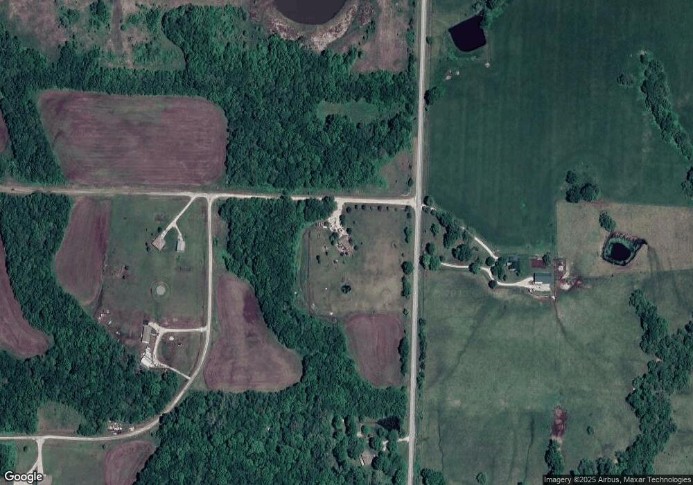
Map
Nearby Homes
- TBD E 355th Rd
- 46005 E State Route N
- 27311 S Index Rd
- 0 S Grant Rd Unit HMS2571420
- 0 S Grant Rd Unit 101226
- 40503 Missouri 2
- 852 SW 1921st Rd
- 40503 E State Route 2
- 27217 S O Bannon Rd
- 0 E 323rd St
- 0 Tract 9 Old Drum Rd
- 0 Tract 12 Old Drum Rd
- 0 Tract 15 Old Drum Rd
- 0 Tract 11 Old Drum Rd
- 0 Tract 18 Old Drum Rd
- 0 Tract 14 Old Drum Rd
- 0 Rd
- 0 Rd
- 0 Tract 10 Old Drum Rd
- 0 Tract 17 Old Drum Rd
- 1902 SW 1215 Rd
- 1910 SW 1215th Rd
- 1215 SW County Road Zz
- 1240 SW County Road Zz
- 1960 SW 1215th Rd
- 1248 SW County Road Zz
- 1895 SW 1225th Rd
- 1252 SW County Road Zz Hwy
- 1859 SW 1225th Rd
- 1253 SW Zz Hwy
- 1253 SW County Road Zz
- 1255 SW County Road Zz
- 1856 SW 1170th Rd
- 1860 SW 1225th Rd
- 1860 SW 1225th Rd
- 1173 SW County Road Zz
- 1280 SW County Road Zz Hwy
- 1191 SW 2001st St
- 1828 SW 1225th Rd
- 1151 SW 1971st St