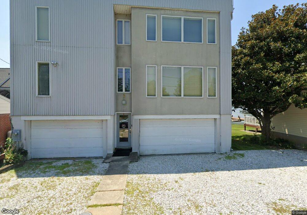
1902 Wilson Point Rd Middle River, MD 21220
Estimated Value: $898,000 - $1,070,000
Studio
3
Baths
3,752
Sq Ft
$261/Sq Ft
Est. Value
About This Home
This home is located at 1902 Wilson Point Rd, Middle River, MD 21220 and is currently estimated at $979,108, approximately $260 per square foot. 1902 Wilson Point Rd is a home located in Baltimore County with nearby schools including Hawthorne Elementary School, Stemmers Run Middle School, and Kenwood High.
Ownership History
Date
Name
Owned For
Owner Type
Purchase Details
Closed on
Oct 27, 2012
Sold by
Pierson Margaret A
Bought by
Sparwasser Carroll G and Sparwasser Amy C
Current Estimated Value
Purchase Details
Closed on
Feb 28, 2006
Sold by
Pierson John W
Bought by
Pierson Margaret A
Purchase Details
Closed on
Jan 30, 2006
Sold by
Pierson John W
Bought by
Pierson Margaret A
Purchase Details
Closed on
Nov 14, 1986
Sold by
Sparwasser Charles T
Bought by
Pierson John W
Create a Home Valuation Report for This Property
The Home Valuation Report is an in-depth analysis detailing your home's value as well as a comparison with similar homes in the area
Home Values in the Area
Average Home Value in this Area
Purchase History
| Date | Buyer | Sale Price | Title Company |
|---|---|---|---|
| Sparwasser Carroll G | -- | None Available | |
| Pierson Margaret A | -- | -- | |
| Pierson Margaret A | -- | -- | |
| Pierson John W | $73,000 | -- |
Source: Public Records
Tax History
| Year | Tax Paid | Tax Assessment Tax Assessment Total Assessment is a certain percentage of the fair market value that is determined by local assessors to be the total taxable value of land and additions on the property. | Land | Improvement |
|---|---|---|---|---|
| 2025 | $8,261 | $862,400 | -- | -- |
| 2024 | $8,261 | $734,400 | $0 | $0 |
| 2023 | $3,945 | $606,400 | $259,500 | $346,900 |
| 2022 | $0 | $593,267 | $0 | $0 |
| 2021 | $7,274 | $580,133 | $0 | $0 |
| 2020 | $7,274 | $567,000 | $259,500 | $307,500 |
| 2019 | $7,228 | $562,267 | $0 | $0 |
| 2018 | $7,204 | $557,533 | $0 | $0 |
| 2017 | $6,945 | $552,800 | $0 | $0 |
| 2016 | $6,758 | $552,800 | $0 | $0 |
| 2015 | $6,758 | $552,800 | $0 | $0 |
| 2014 | $6,758 | $619,000 | $0 | $0 |
Source: Public Records
Map
Nearby Homes
- 1507 Shore Rd
- 2316 Bauernschmidt Dr
- 2224 Middleborough Rd
- 1937 Cape May Rd
- 221 Antietam Rd
- 1310 2nd Rd
- 1306 Third Rd
- 203 Antietam Rd
- 2023 Middleborough Rd
- 1206 Chesapeake Ave
- 311 Greyhound Rd
- 116 Kingston Park Ln
- 21 Dogwood Dr
- 40 Dogwood Dr
- 34 Dogwood Dr
- 60 Dogwood Dr
- 0 Dogwood Rd Unit MDBC2118428
- 84 Kingston Park Ln
- 1105 Chester Rd
- 203 Oak Ave
- 1900 Wilson Point Rd
- 1908 Wilson Point Rd
- 1910 Wilson Point Rd
- 1828 Wilson Point Rd
- 1912 Wilson Point Rd
- 1909 Wilson Point Rd
- 1827 Wilson Point Rd
- 1824 Wilson Point Rd
- 1914 Wilson Point Rd
- 1903 Wilson Point Rd
- 1911 Wilson Point Rd
- 1829 Wilson Point Rd
- 1823 Wilson Point Rd
- 1916 Wilson Point Rd
- 1822 Wilson Point Rd
- 1917 Wilson Point Rd
- 1821 Wilson Point Rd
- 1819 Wilson Point Rd
- 1920 Wilson Point Rd
- 1919 Wilson Point Rd