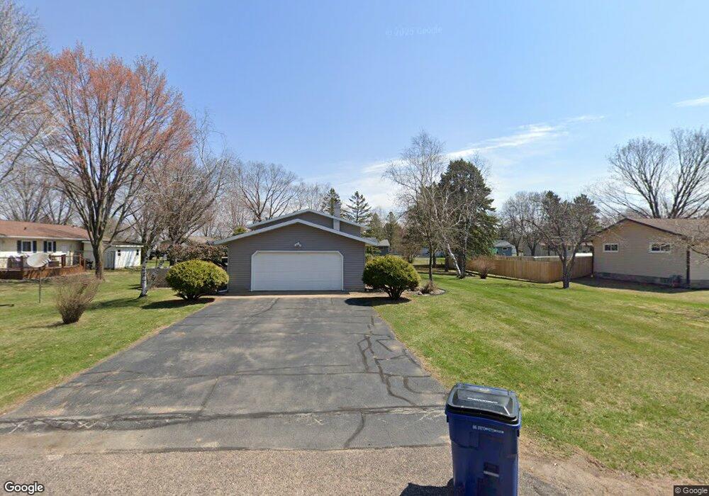
1903 Macaw Ave Wausau, WI 54401
Estimated Value: $190,132 - $292,000
--
Bed
--
Bath
--
Sq Ft
0.36
Acres
About This Home
This home is located at 1903 Macaw Ave, Wausau, WI 54401 and is currently estimated at $239,783. 1903 Macaw Ave is a home located in Marathon County with nearby schools including Rib Mountain Elementary School, John Muir Middle School, and West High School.
Ownership History
Date
Name
Owned For
Owner Type
Purchase Details
Closed on
Jun 28, 2005
Sold by
Wilund Gordon P and Wilund Marilyn
Bought by
Schaefer Catherine R and Jensen Lisa K
Current Estimated Value
Home Financials for this Owner
Home Financials are based on the most recent Mortgage that was taken out on this home.
Original Mortgage
$135,000
Outstanding Balance
$70,881
Interest Rate
5.75%
Mortgage Type
New Conventional
Estimated Equity
$168,902
Create a Home Valuation Report for This Property
The Home Valuation Report is an in-depth analysis detailing your home's value as well as a comparison with similar homes in the area
Home Values in the Area
Average Home Value in this Area
Purchase History
| Date | Buyer | Sale Price | Title Company |
|---|---|---|---|
| Schaefer Catherine R | $135,000 | None Available |
Source: Public Records
Mortgage History
| Date | Status | Borrower | Loan Amount |
|---|---|---|---|
| Open | Schaefer Catherine R | $135,000 |
Source: Public Records
Tax History Compared to Growth
Tax History
| Year | Tax Paid | Tax Assessment Tax Assessment Total Assessment is a certain percentage of the fair market value that is determined by local assessors to be the total taxable value of land and additions on the property. | Land | Improvement |
|---|---|---|---|---|
| 2024 | $1,232 | $138,800 | $31,600 | $107,200 |
| 2023 | $2,435 | $138,800 | $31,600 | $107,200 |
| 2022 | $2,574 | $138,800 | $31,600 | $107,200 |
| 2021 | $2,495 | $138,800 | $31,600 | $107,200 |
| 2020 | $2,510 | $138,800 | $31,600 | $107,200 |
| 2019 | $2,371 | $138,800 | $31,600 | $107,200 |
| 2018 | $2,570 | $125,400 | $28,400 | $97,000 |
| 2017 | $2,506 | $125,400 | $28,400 | $97,000 |
| 2016 | $2,518 | $125,400 | $28,400 | $97,000 |
| 2015 | $2,411 | $125,400 | $28,400 | $97,000 |
| 2014 | $2,370 | $125,400 | $28,400 | $97,000 |
Source: Public Records
Map
Nearby Homes
- 150811 County Road Nn
- 150811 Cth Nn
- 227815 Sharptail Rd
- 227308 Shrike Ave
- 226936 Boulder Ridge Cir
- 150609 Lavender Ln
- 917 S 21st Place
- 2117 Sherman St
- 1601 Chellis St Unit 1607,1611Chellis,142
- 1423 Lake St
- 1419 Lake St
- 227825 Nuthatch Ln
- 226440 Kingbird Ave
- 1438 Madison St
- 151257 Kingfisher Ln
- 909 S 14th Ave
- 310 Lisbeth Rd
- Lot #24 Deer Tail Ln
- Lot #25 Deer Tail Ln
- 2812 Hubbill Ave
- 1905 Macaw Ave
- 3307 Skylark Ln
- 1904 Peacock Ave
- 3301 Skylark Ln
- 1906 Peacock Ave
- 2001 Macaw Ave
- 228212 Peacock Ave
- 1902 Macaw Ave
- 1906 Macaw Ave
- 2002 Peacock Ave
- 2002 Macaw Ave
- 3308 Skylark Ln
- 2003 Macaw Ave
- 3302 Skylark Ln
- 3310 Skylark Ln
- 2004 Peacock Ave
- 3210 Skylark Ln
- 2004 Macaw Ave
- 1903 Falcon Ave
- 1905 Falcon Ave