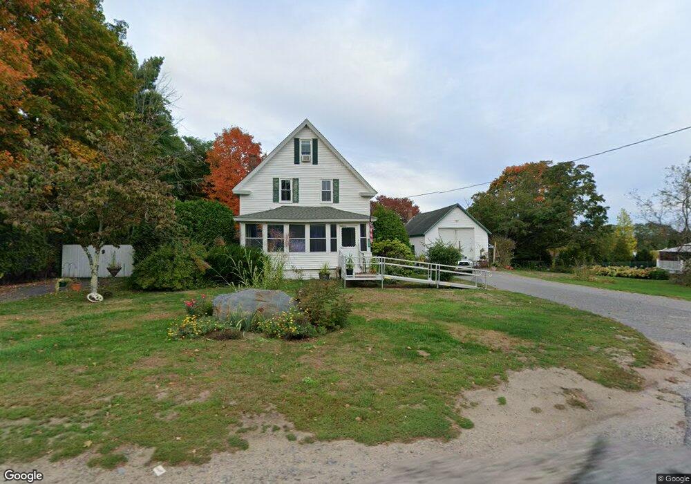
1903 Main St Lancaster, MA 01523
Estimated Value: $390,250 - $508,000
2
Beds
1
Bath
1,676
Sq Ft
$265/Sq Ft
Est. Value
About This Home
This home is located at 1903 Main St, Lancaster, MA 01523 and is currently estimated at $443,563, approximately $264 per square foot. 1903 Main St is a home located in Worcester County with nearby schools including Mary Rowlandson Elementary School, Luther Burbank Middle School, and Nashoba Regional High School.
Ownership History
Date
Name
Owned For
Owner Type
Purchase Details
Closed on
Feb 13, 2025
Sold by
Leach Robert B
Bought by
Leach Robert B and Egeland Amy J
Current Estimated Value
Purchase Details
Closed on
Jun 15, 1973
Bought by
Leach Robert B and Leach Marjorie A
Create a Home Valuation Report for This Property
The Home Valuation Report is an in-depth analysis detailing your home's value as well as a comparison with similar homes in the area
Home Values in the Area
Average Home Value in this Area
Purchase History
| Date | Buyer | Sale Price | Title Company |
|---|---|---|---|
| Leach Robert B | -- | None Available | |
| Leach Robert B | -- | None Available | |
| Leach Robert B | -- | -- |
Source: Public Records
Mortgage History
| Date | Status | Borrower | Loan Amount |
|---|---|---|---|
| Previous Owner | Leach Robert B | $201,400 | |
| Previous Owner | Leach Robert B | $29,000 | |
| Previous Owner | Leach Robert B | $108,000 |
Source: Public Records
Tax History
| Year | Tax Paid | Tax Assessment Tax Assessment Total Assessment is a certain percentage of the fair market value that is determined by local assessors to be the total taxable value of land and additions on the property. | Land | Improvement |
|---|---|---|---|---|
| 2025 | $4,580 | $283,400 | $105,700 | $177,700 |
| 2024 | $4,889 | $280,000 | $96,400 | $183,600 |
| 2023 | $0 | $253,200 | $87,600 | $165,600 |
| 2022 | $4,287 | $220,400 | $81,400 | $139,000 |
| 2021 | $4,126 | $206,500 | $81,400 | $125,100 |
| 2020 | $4,002 | $201,600 | $81,400 | $120,200 |
| 2019 | $3,875 | $196,200 | $81,400 | $114,800 |
| 2018 | $3,792 | $189,800 | $81,400 | $108,400 |
| 2016 | $3,101 | $158,600 | $80,500 | $78,100 |
| 2015 | $2,970 | $158,300 | $80,500 | $77,800 |
| 2014 | $2,865 | $151,500 | $80,500 | $71,000 |
Source: Public Records
Map
Nearby Homes
- 303 Ponakin Rd
- 2290 Main St
- 2038-1 Laurel Hill Ln
- 2038 Laurel Hill Ln Unit LOT 18
- 0 Main St
- 1497 Lunenburg Rd
- 18 Highfield Dr
- 144 Seven Bridge Rd
- 35 Mcgovern Blvd
- 121 &125 Flanagan Hill Rd
- 2 Turtle Ln Unit 2
- 193 Bayberry Hill Ln
- 7 Lawson Ave
- 73 Prescott St
- 437 Johnny Appleseed Ln
- 851 Lancaster St
- 132 Kilbourn Rd
- 76 Mill St Unit 3
- 675 Willard St
- 12 Meditation Ln Unit 12
- 1887 Main St
- 1887 Main St Unit 1
- 1921 Main St
- 1920 Main St
- 1882 Main St
- 1882 Main St Unit 1
- 1906 Main St
- 1943 Main St
- 5 Devonshire Way Unit 184-LOT
- 12 Devonshire Way
- 9 Devonshire Way Unit 284-LOT
- 1845 Main St
- 1845 Main St Unit 1
- 2 Devonshire Way
- 0 Devonshire Way
- 1958 Main St
- 6 Devonshire Way Unit 206-LOT
- 10 Devonshire Way
- 1985 Main St
- 1835 Main St
Your Personal Tour Guide
Ask me questions while you tour the home.