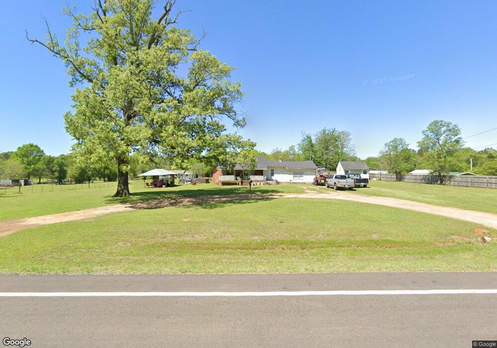
1903 N Rondo Rd Texarkana, AR 71854
Estimated Value: $89,430 - $257,000
--
Bed
1
Bath
1,769
Sq Ft
$98/Sq Ft
Est. Value
About This Home
This home is located at 1903 N Rondo Rd, Texarkana, AR 71854 and is currently estimated at $172,858, approximately $97 per square foot. 1903 N Rondo Rd is a home located in Miller County with nearby schools including Arkansas High School and Washington Academy.
Ownership History
Date
Name
Owned For
Owner Type
Purchase Details
Closed on
Oct 18, 2006
Sold by
Wise Charles F
Bought by
Wise Jennifer A and Wise James T
Current Estimated Value
Home Financials for this Owner
Home Financials are based on the most recent Mortgage that was taken out on this home.
Original Mortgage
$22,000
Interest Rate
6.37%
Mortgage Type
Future Advance Clause Open End Mortgage
Purchase Details
Closed on
Aug 1, 1992
Bought by
Wise Charles F and Wise Iii
Purchase Details
Closed on
Apr 1, 1976
Bought by
Wise Charles F and Wise Wise
Create a Home Valuation Report for This Property
The Home Valuation Report is an in-depth analysis detailing your home's value as well as a comparison with similar homes in the area
Home Values in the Area
Average Home Value in this Area
Purchase History
| Date | Buyer | Sale Price | Title Company |
|---|---|---|---|
| Wise Jennifer A | $20,000 | Southwest Title Company | |
| Wise Charles F | -- | -- | |
| Wise Charles F | -- | -- |
Source: Public Records
Mortgage History
| Date | Status | Borrower | Loan Amount |
|---|---|---|---|
| Closed | Wise Jennifer A | $22,000 |
Source: Public Records
Tax History Compared to Growth
Tax History
| Year | Tax Paid | Tax Assessment Tax Assessment Total Assessment is a certain percentage of the fair market value that is determined by local assessors to be the total taxable value of land and additions on the property. | Land | Improvement |
|---|---|---|---|---|
| 2024 | $186 | $11,950 | $1,920 | $10,030 |
| 2023 | $656 | $11,950 | $1,920 | $10,030 |
| 2022 | $656 | $11,950 | $1,920 | $10,030 |
| 2021 | $566 | $10,310 | $1,920 | $8,390 |
| 2020 | $550 | $10,310 | $1,920 | $8,390 |
| 2019 | $500 | $9,300 | $1,920 | $7,380 |
| 2018 | $463 | $9,300 | $1,920 | $7,380 |
| 2017 | $76 | $9,300 | $1,920 | $7,380 |
| 2016 | $58 | $7,426 | $1,870 | $5,556 |
| 2015 | $39 | $7,088 | $1,785 | $5,303 |
| 2014 | -- | $6,750 | $1,700 | $5,050 |
Source: Public Records
Map
Nearby Homes
- TBD U S Highway 82
- 719 Meadows Rd
- TBD Mc 65
- 409 Meadows Rd
- 0 E 54th St
- 6323 E 9th St
- 4302 E 9th St
- 225 Marguerite Dr
- 415 Meadowridge Cir
- 4406 Magee Dr
- 429 Paisley Cir
- 409 Paisley Cir
- 405 Paisley Cir
- 404 Paisley Cir
- 408 Paisley Cir
- 416 Paisley Cir
- 420 Paisley Cir
- 424 Paisley Cir
- 428 Paisley Cir
- 432 Paisley Cir
- 1814 N Rondo Rd
- 1813 N Rondo Rd
- 5501 Capitol Hill Rd
- 5416 Capitol Hill Rd W
- 1802 N Rondo Rd
- 5411 Capitol Hill Rd W
- 1718 N Rondo Rd
- 2012 Rondo Rd
- 5517 Capitol Hill Rd
- 1803 Freedom Trail
- 2021 Rondo Rd
- 2020 Rondo Rd
- 1706 N Rondo Rd
- 0 Freedom Trail
- 1812 Freedom Trail
- 1715 Freedom Trail
- 1845 N Rondo Rd
- 1723 N Rondo Rd
- 1623 N Rondo Rd
- 5409 Capitol Hill Rd W