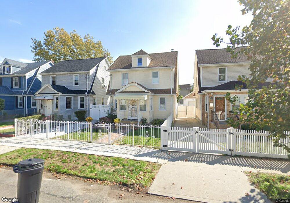
19032 112th Ave Saint Albans, NY 11412
Hollis NeighborhoodEstimated Value: $608,739 - $722,000
--
Bed
--
Bath
1,520
Sq Ft
$449/Sq Ft
Est. Value
About This Home
This home is located at 19032 112th Ave, Saint Albans, NY 11412 and is currently estimated at $683,185, approximately $449 per square foot. 19032 112th Ave is a home located in Queens County with nearby schools including P.S. 118 Lorraine Hansberry, I.S. 192 The Linden, and Riverton Street Charter School.
Ownership History
Date
Name
Owned For
Owner Type
Purchase Details
Closed on
Dec 20, 2000
Sold by
Harrison Ruth
Bought by
Knight Evelyn B
Current Estimated Value
Home Financials for this Owner
Home Financials are based on the most recent Mortgage that was taken out on this home.
Original Mortgage
$156,150
Outstanding Balance
$57,294
Interest Rate
7.64%
Estimated Equity
$625,891
Create a Home Valuation Report for This Property
The Home Valuation Report is an in-depth analysis detailing your home's value as well as a comparison with similar homes in the area
Home Values in the Area
Average Home Value in this Area
Purchase History
| Date | Buyer | Sale Price | Title Company |
|---|---|---|---|
| Knight Evelyn B | $173,500 | -- |
Source: Public Records
Mortgage History
| Date | Status | Borrower | Loan Amount |
|---|---|---|---|
| Open | Knight Evelyn B | $156,150 |
Source: Public Records
Tax History Compared to Growth
Tax History
| Year | Tax Paid | Tax Assessment Tax Assessment Total Assessment is a certain percentage of the fair market value that is determined by local assessors to be the total taxable value of land and additions on the property. | Land | Improvement |
|---|---|---|---|---|
| 2025 | $4,837 | $25,529 | $7,647 | $17,882 |
| 2024 | $4,837 | $24,085 | $6,979 | $17,106 |
| 2023 | $4,837 | $24,085 | $6,758 | $17,327 |
| 2022 | $4,609 | $35,940 | $11,700 | $24,240 |
| 2021 | $4,745 | $35,100 | $11,700 | $23,400 |
| 2020 | $4,503 | $35,580 | $11,700 | $23,880 |
| 2019 | $4,199 | $30,480 | $11,700 | $18,780 |
| 2018 | $4,091 | $20,071 | $8,327 | $11,744 |
| 2017 | $3,922 | $19,242 | $8,432 | $10,810 |
| 2016 | $3,756 | $19,242 | $8,432 | $10,810 |
| 2015 | $2,189 | $17,728 | $9,247 | $8,481 |
| 2014 | $2,189 | $16,726 | $10,460 | $6,266 |
Source: Public Records
Map
Nearby Homes
- 190-59 112th Ave
- 190-63 112th Ave
- 19022 111th Rd
- 191-40 112th Rd
- 194-16 112th Ave
- 194- 24 111th Rd
- 194-29 112th Ave
- 19404 110th Rd
- 111-06 Farmers Blvd
- 18833 Keeseville Ave
- 19432 113th Rd
- 19427 Murdock Ave
- 187-44 Jordan Ave
- 188-25 Mangin Ave
- 19445 Murdock Ave
- 18823 Mangin Ave
- 193-21 109th Rd
- 194-42 Murdock Ave
- 188-07 Mangin Ave
- 19431 114th Rd
- 19028 112th Ave
- 19036 112th Ave
- 190-50 112th Ave
- 19026 112th Ave
- 19038 112th Ave
- 19022 112th Ave
- 19042 112th Ave
- 19121 112th Rd
- 19125 112th Rd
- 19117 112th Rd
- 19121 112th Rd
- 19121 112th Rd
- 19129 112th Rd
- 191-29 112th Rd
- 19115 112th Rd
- 19129 112th Rd
- 19018 112th Ave
- 19046 112th Ave
- 19131 112th Rd
- 190-46 112th Ave Unit 2