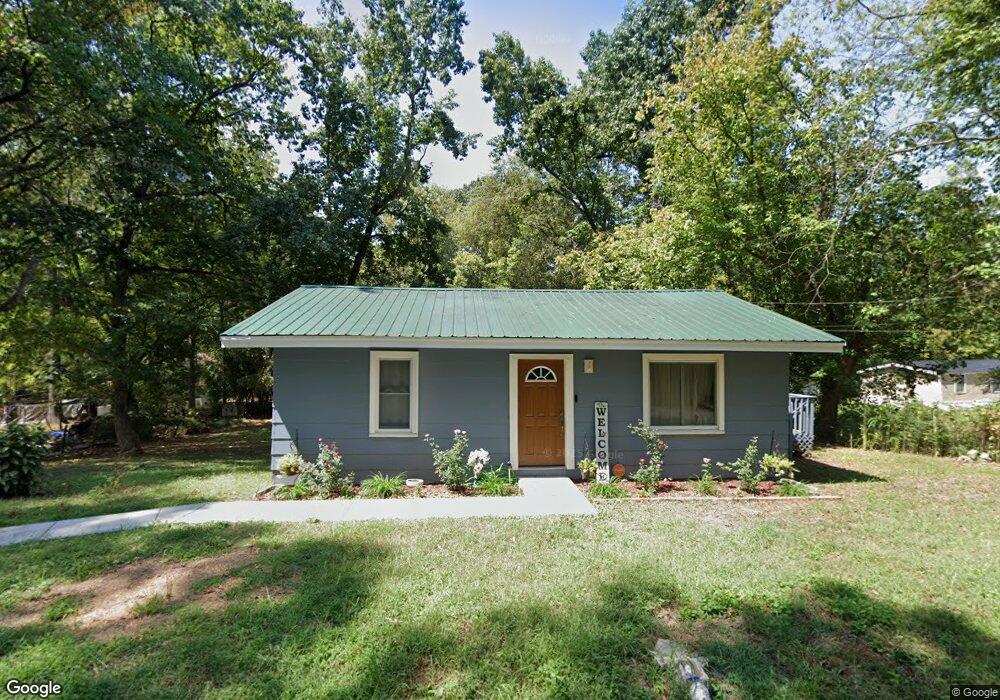
1904 Bryson Dr Dalton, GA 30721
Estimated Value: $125,000 - $165,151
2
Beds
1
Bath
768
Sq Ft
$185/Sq Ft
Est. Value
About This Home
This home is located at 1904 Bryson Dr, Dalton, GA 30721 and is currently estimated at $142,288, approximately $185 per square foot. 1904 Bryson Dr is a home located in Whitfield County with nearby schools including Antioch Elementary School, Eastbrook Middle School, and Southeast Whitfield County High School.
Ownership History
Date
Name
Owned For
Owner Type
Purchase Details
Closed on
May 16, 2023
Sold by
Salmeron Property Inc
Bought by
Barrera Amor and Pineda Tomasa
Current Estimated Value
Home Financials for this Owner
Home Financials are based on the most recent Mortgage that was taken out on this home.
Original Mortgage
$139,428
Outstanding Balance
$135,473
Interest Rate
6.28%
Mortgage Type
FHA
Estimated Equity
$6,815
Purchase Details
Closed on
Nov 4, 2022
Sold by
Dover Rachel Renee
Bought by
Salmeron Property Inc
Purchase Details
Closed on
Feb 9, 2022
Sold by
Cox Jason
Bought by
Dover Rachel
Purchase Details
Closed on
May 1, 1993
Bought by
Cox Donald E and Cox Carolyn S
Create a Home Valuation Report for This Property
The Home Valuation Report is an in-depth analysis detailing your home's value as well as a comparison with similar homes in the area
Home Values in the Area
Average Home Value in this Area
Purchase History
| Date | Buyer | Sale Price | Title Company |
|---|---|---|---|
| Barrera Amor | $142,000 | None Listed On Document | |
| Salmeron Property Inc | $63,000 | -- | |
| Dover Rachel | -- | -- | |
| Cox Donald E | $26,000 | -- |
Source: Public Records
Mortgage History
| Date | Status | Borrower | Loan Amount |
|---|---|---|---|
| Open | Barrera Amor | $139,428 |
Source: Public Records
Tax History Compared to Growth
Tax History
| Year | Tax Paid | Tax Assessment Tax Assessment Total Assessment is a certain percentage of the fair market value that is determined by local assessors to be the total taxable value of land and additions on the property. | Land | Improvement |
|---|---|---|---|---|
| 2024 | $486 | $49,351 | $6,000 | $43,351 |
| 2023 | $486 | $16,488 | $2,730 | $13,758 |
| 2022 | $37 | $11,950 | $2,730 | $9,220 |
| 2021 | $53 | $12,824 | $2,730 | $10,094 |
| 2020 | $53 | $12,824 | $2,730 | $10,094 |
| 2019 | $53 | $12,824 | $2,730 | $10,094 |
| 2018 | $53 | $12,824 | $2,730 | $10,094 |
| 2017 | $203 | $12,824 | $2,730 | $10,094 |
| 2016 | $187 | $11,954 | $2,730 | $9,224 |
| 2014 | $188 | $11,954 | $2,730 | $9,224 |
| 2013 | -- | $11,954 | $2,730 | $9,224 |
Source: Public Records
Map
Nearby Homes
- 1712 Wendell St
- 171 Bear Den Ct
- 11 Liberty St
- Lot 3 Riverbend Rd
- Lot 2 Riverbend Rd
- 945 Riverbend Rd
- 2091 Hummingbird Dr
- Lot 4 Liberty Dr
- Lot 10 Liberty Dr
- Lot 9 Liberty Dr
- 1401 Eastbrook Rd SE
- 191 Hanks Bend
- 1320 Coker Dr
- 1401 Eastbrook Dr SE
- 809 Willeve Dr
- 805 Willeve Dr
- 719 Cavender Rd SE
- 1412 Stevenson Dr
- 6 Harrison Ln
- 5 Harrison Ln
- 1904 Bryson Dr
- 2100 Ledbetter Rd
- 2006 Ledbetter Rd
- 1907 Bryson Dr
- 0 Ledbetter Dr
- 1905 Sanford Rd
- 1910 Bryson Dr
- 1911 Bryson Dr
- 1912 Ledbetter Rd
- 1902 Sanford St
- 1902 Sanford Rd
- 1919 Bryson Dr
- 1904 Sanford St
- 1904 Sanford Rd
- 1918 Bryson Dr
- 1907 Sanford Rd
- 1908 Ledbetter Rd
- 1906 Sanford St
- 1906 Sanford Rd
- 1908 Sanford Rd