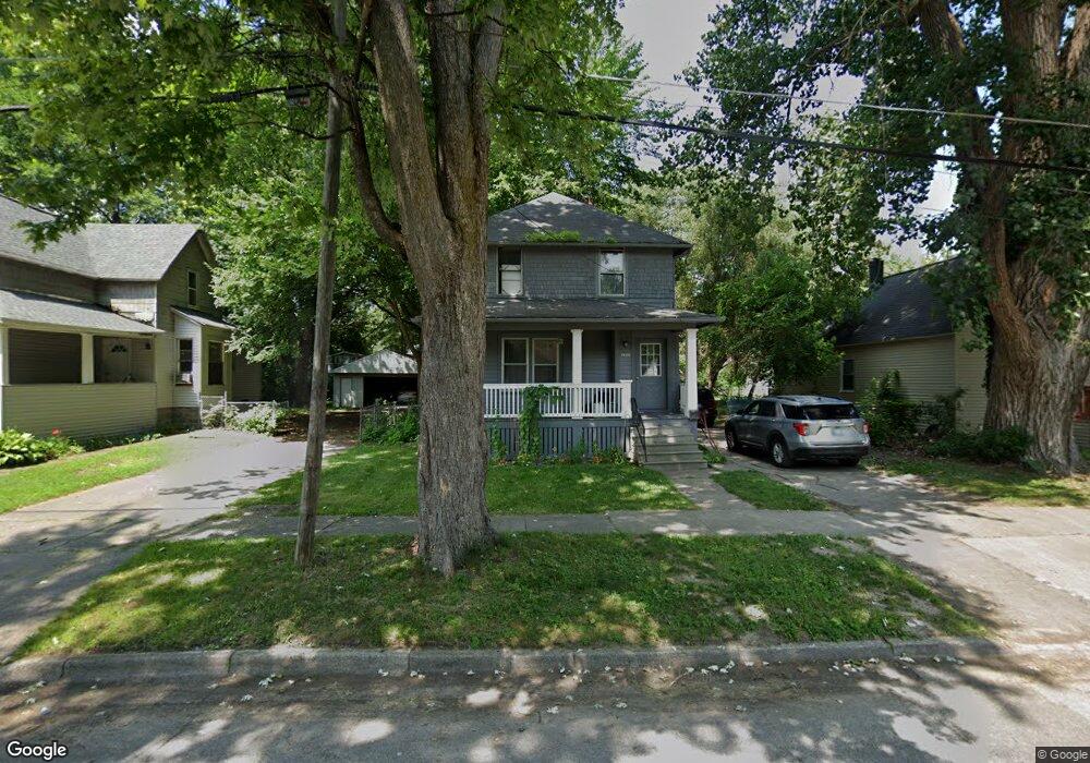
1904 Burnham St Saginaw, MI 48602
Southwest NeighborhoodEstimated Value: $64,962 - $74,000
3
Beds
1
Bath
1,134
Sq Ft
$62/Sq Ft
Est. Value
About This Home
This home is located at 1904 Burnham St, Saginaw, MI 48602 and is currently estimated at $70,741, approximately $62 per square foot. 1904 Burnham St is a home located in Saginaw County with nearby schools including Merrill Park Elementary School, Thompson Middle School, and Arthur Hill High School.
Ownership History
Date
Name
Owned For
Owner Type
Purchase Details
Closed on
Nov 15, 2022
Sold by
Fritch Timothy W
Bought by
Simple Realestate Holdings Llc
Current Estimated Value
Purchase Details
Closed on
Apr 24, 2018
Sold by
Saginaw County Land Bank
Bought by
Fritch Timothy W
Purchase Details
Closed on
Mar 4, 2005
Sold by
Smith Darwin E and Smith Marilou L
Bought by
Maul Robert F
Purchase Details
Closed on
Feb 13, 2002
Sold by
Adkins Roy V
Bought by
Maul Robert F
Purchase Details
Closed on
Mar 1, 1990
Sold by
Yockey Steven J and Yockey Laura B
Bought by
Maul Robert F
Purchase Details
Closed on
Jan 5, 1990
Sold by
Yockey Steven J and Yockey Laura B
Bought by
Maul Robert F
Purchase Details
Closed on
Feb 27, 1989
Sold by
Lafrance Patricia A
Bought by
Yockey Steven J and Maul Robert F
Purchase Details
Closed on
Sep 1, 1988
Sold by
Byron Caroline E
Bought by
Maul Robert F and Yockey Steven J
Purchase Details
Closed on
Feb 22, 1988
Sold by
Lafrance Phillip
Bought by
Lafrance Patricia A
Purchase Details
Closed on
May 23, 1984
Sold by
Byron Kenneth J and Byron Caroline E
Bought by
Lafrance Phillip and Lafrance Patricia A
Create a Home Valuation Report for This Property
The Home Valuation Report is an in-depth analysis detailing your home's value as well as a comparison with similar homes in the area
Home Values in the Area
Average Home Value in this Area
Purchase History
| Date | Buyer | Sale Price | Title Company |
|---|---|---|---|
| Simple Realestate Holdings Llc | -- | -- | |
| Fritch Timothy W | $1,500 | -- | |
| Maul Robert F | -- | -- | |
| Maul Robert F | -- | -- | |
| Maul Robert F | -- | -- | |
| Maul Robert F | -- | -- | |
| Maul Robert F | -- | -- | |
| Yockey Steven J | -- | -- | |
| Maul Robert F | -- | -- | |
| Lafrance Patricia A | -- | -- | |
| Lafrance Phillip | $20,500 | -- |
Source: Public Records
Tax History Compared to Growth
Tax History
| Year | Tax Paid | Tax Assessment Tax Assessment Total Assessment is a certain percentage of the fair market value that is determined by local assessors to be the total taxable value of land and additions on the property. | Land | Improvement |
|---|---|---|---|---|
| 2025 | $1,197 | $27,700 | $0 | $0 |
| 2024 | $979 | $23,800 | $0 | $0 |
| 2023 | $939 | $21,000 | $0 | $0 |
| 2022 | $1,098 | $17,900 | $0 | $0 |
| 2021 | $1,033 | $16,700 | $0 | $0 |
| 2020 | $931 | $14,800 | $0 | $0 |
| 2019 | $935 | $13,600 | $700 | $12,900 |
| 2018 | $1,104 | $0 | $0 | $0 |
| 2017 | $1,104 | $14,300 | $0 | $0 |
| 2016 | $853 | $14,202 | $0 | $0 |
| 2014 | -- | $14,740 | $0 | $14,067 |
| 2013 | -- | $15,276 | $0 | $0 |
Source: Public Records
Map
Nearby Homes
- 1823 Ring St
- 1924 Wood St
- 1817 Ring St
- 1306 S Wheeler St
- 1843 Kendrick St
- 1916 Joslin St
- 1914 Joslin St
- 1725 Kendrick St
- 1830 Jordan St
- 1756 Jordan St
- 1918 Stanley St
- 2116 Wood St
- 2116 W Michigan Ave
- 2112 Emerick St
- 819 Grove St
- 1716 Maple St
- 2300 Jerome St
- 1723 Maine St
- 1652 Stanley St
- 1919 Grout St
- 1900 Burnham St
- 1842 Burnham St
- 1910 Burnham St
- 1914 Burnham St
- 1847 Burnham St
- 1836 Burnham St
- 1905 Burnham St
- 1909 Burnham St
- 1905 Ring St
- 1911 Ring St
- 1915 Burnham St
- 1837 Ring St
- 1828 Burnham St
- 1920 Burnham St
- 1847 Ring St
- 1924 Burnham St
- 1915 Ring St
- 1839 Burnham St
- 1921 Burnham St
- 1831 Ring St