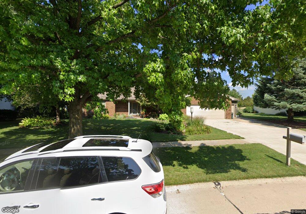
1904 Byrnebruk Dr Champaign, IL 61822
Estimated Value: $465,000 - $542,000
--
Bed
--
Bath
--
Sq Ft
0.36
Acres
About This Home
This home is located at 1904 Byrnebruk Dr, Champaign, IL 61822 and is currently estimated at $504,227. 1904 Byrnebruk Dr is a home located in Champaign County with nearby schools including Centennial High School, Countryside School, and Swann Special Care Center-Elem/Secondary School.
Ownership History
Date
Name
Owned For
Owner Type
Purchase Details
Closed on
Oct 1, 2004
Sold by
Shultz Gary L and Shultz Susan E
Bought by
Reid Rodney D and Reid Jane E
Current Estimated Value
Home Financials for this Owner
Home Financials are based on the most recent Mortgage that was taken out on this home.
Original Mortgage
$220,000
Outstanding Balance
$109,830
Interest Rate
5.89%
Mortgage Type
Purchase Money Mortgage
Estimated Equity
$394,397
Create a Home Valuation Report for This Property
The Home Valuation Report is an in-depth analysis detailing your home's value as well as a comparison with similar homes in the area
Home Values in the Area
Average Home Value in this Area
Purchase History
| Date | Buyer | Sale Price | Title Company |
|---|---|---|---|
| Reid Rodney D | $275,000 | -- |
Source: Public Records
Mortgage History
| Date | Status | Borrower | Loan Amount |
|---|---|---|---|
| Open | Reid Rodney D | $220,000 |
Source: Public Records
Tax History Compared to Growth
Tax History
| Year | Tax Paid | Tax Assessment Tax Assessment Total Assessment is a certain percentage of the fair market value that is determined by local assessors to be the total taxable value of land and additions on the property. | Land | Improvement |
|---|---|---|---|---|
| 2024 | $9,114 | $146,140 | $48,990 | $97,150 |
| 2023 | $9,114 | $134,940 | $45,240 | $89,700 |
| 2022 | $8,676 | $125,880 | $42,200 | $83,680 |
| 2021 | $8,333 | $123,650 | $41,450 | $82,200 |
| 2020 | $8,261 | $122,430 | $41,040 | $81,390 |
| 2019 | $7,987 | $120,380 | $40,350 | $80,030 |
| 2018 | $8,341 | $120,380 | $40,350 | $80,030 |
| 2017 | $8,356 | $120,380 | $40,350 | $80,030 |
| 2016 | $7,229 | $116,520 | $40,350 | $76,170 |
| 2015 | $6,699 | $116,520 | $40,350 | $76,170 |
| 2014 | $6,633 | $105,580 | $40,350 | $65,230 |
| 2013 | $6,522 | $105,580 | $40,350 | $65,230 |
Source: Public Records
Map
Nearby Homes
- 1806 Bentbrook Dr
- 4005 Pinecrest Dr
- 4002 Lakepoint Rd
- 4406 Crossgate Dr
- 4304 Creston Dr
- 3510 S Duncan Rd
- 7 Briar Hill Cir Unit G
- 4309 Stonebridge Ct
- 1103 Prestwick Point
- 1012 Waters Edge Rd
- 1818 Tahoe Ct
- 3907 Aberdeen Dr
- 1904 Mullikin Dr
- 1309 Maplepark Dr
- 3804 Balmoral Dr
- 3761 Thornhill Cir Unit 3761
- 2808 Carrelton Dr
- 4700 Chestnut Grove Dr
- 2605 Trafalgar Square
- 3311 Brentwood Dr
- 1902 Byrnebruk Dr
- 1906 Byrnebruk Dr
- 1903 Byrnebruk Dr
- 1901 Byrnebruk Dr
- 1905 Byrnebruk Dr
- 1908 Byrnebruk Dr
- 1908 Byrnebruk Dr Unit 1
- 1808 Byrnebruk Dr
- 1908 Woodfield Rd
- 1902 Trout Valley Dr
- 1910 Woodfield Rd
- 1910 Byrnebruk Dr
- 1909 Woodfield Rd
- 1904 Trout Valley Dr
- 1909 Byrnebruk Dr
- 1809 Cobblefield Ct
- 1809 Byrnebruk Dr
- 1912 Byrnebruk Dr
- 1911 Woodfield Rd
- 1807 Cobblefield Ct