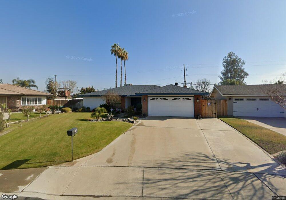
1904 Emerson St Bakersfield, CA 93309
Southwest Bakersfield NeighborhoodEstimated Value: $337,993 - $377,000
About This Home
This home is located at 1904 Emerson St, Bakersfield, CA 93309 and is currently estimated at $356,498, approximately $234 per square foot. 1904 Emerson St is a home located in Kern County with nearby schools including Stine Elementary School, Fred L. Thompson Junior High School, and West High School.
Ownership History
We collect this data history from publicly available records. To have your information removed, we recommend requesting removal directly through your county’s website.
Purchase Details
Home Financials for this Owner
Home Financials are based on the most recent Mortgage that was taken out on this home.Home Values in the Area
Average Home Value in this Area
Purchase History
We collect this data history from publicly available records. To have your information removed, we recommend requesting removal directly through your county’s website.
| Date | Buyer | Sale Price | Title Company |
|---|---|---|---|
| -- | Orange Coast Title |
Mortgage History
We collect this data history from publicly available records. To have your information removed, we recommend requesting removal directly through your county’s website.
| Date | Status | Borrower | Loan Amount |
|---|---|---|---|
| Closed | $285,000 | ||
| Closed | $207,000 | ||
| Closed | $153,000 |
Tax History
We collect this data history from publicly available records. To have your information removed, we recommend requesting removal directly through your county’s website.
| Year | Tax Paid | Tax Assessment Tax Assessment Total Assessment is a certain percentage of the fair market value that is determined by local assessors to be the total taxable value of land and additions on the property. | Land | Improvement |
|---|---|---|---|---|
| 2025 | $2,985 | $199,336 | $51,993 | $147,343 |
| 2024 | $2,985 | $195,428 | $50,974 | $144,454 |
| 2023 | $2,936 | $191,597 | $49,975 | $141,622 |
| 2022 | $2,816 | $187,842 | $48,996 | $138,846 |
| 2021 | $2,701 | $184,160 | $48,036 | $136,124 |
| 2020 | $2,650 | $182,273 | $47,544 | $134,729 |
| 2019 | $2,615 | $182,273 | $47,544 | $134,729 |
| 2018 | $2,499 | $175,198 | $45,699 | $129,499 |
| 2017 | $2,462 | $171,763 | $44,803 | $126,960 |
| 2016 | $2,307 | $168,396 | $43,925 | $124,471 |
| 2015 | $2,285 | $165,868 | $43,266 | $122,602 |
| 2014 | $2,228 | $162,620 | $42,419 | $120,201 |
Map
- 4805 Surrey Ln
- 2021 Carlton St
- 1317 Capricorn Ct
- 4913 Scorpio Ct
- 4705 Misty Ct
- 1916 Hasti Acres Dr
- 4646 Ming Ave
- 1343 Aquarius Ct
- 4705 Winners Cir
- 1437 Libra Ct
- 2304 Bladen St
- 2304 Bladen St
- 2113 Westminster Dr
- 4801 Virgo Ct Unit 2
- 4300 Starling Dr
- 2101 Wheelan Ct
- 5600 Kirkside Dr Unit G
- 5600 Kirkside Dr Unit G
- 5700 Kirkside Dr Unit D
- 4800 Treanna Ave Unit U11B
- 1908 Emerson St
- 1900 Emerson St
- 1913 Canter Way
- 1917 Canter Way
- 1909 Canter Way
- 5000 Sherman Ave
- 2000 Emerson St
- 2001 Canter Way
- 1901 Canter Way Unit 1-2
- 1901 Canter Way
- 5004 Sherman Ave
- 5005 Sherman Ave
- 2004 Emerson St
- 2005 Canter Way
- 1911 Emerson St
- 1839 Canter Way
- 5008 Sherman Ave
- 4819 Summertree Ln
- 1918 Canter Way
- 2001 Emerson St
Ask me questions while you tour the home.