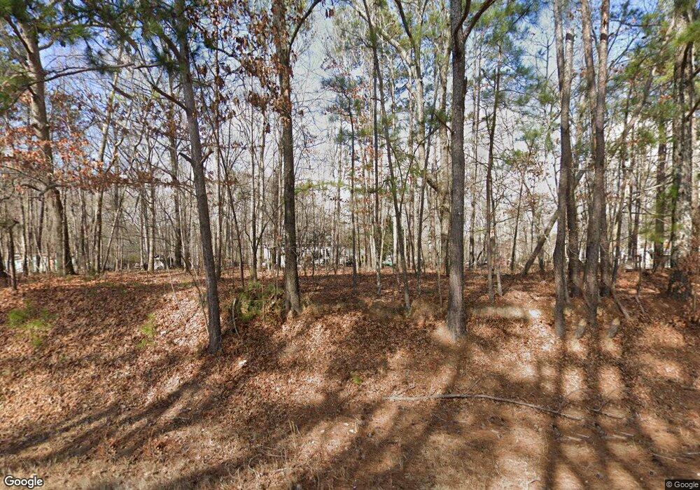
1904 Highway 36 E Milner, GA 30257
Estimated Value: $111,471 - $190,000
2
Beds
2
Baths
1,000
Sq Ft
$166/Sq Ft
Est. Value
About This Home
This home is located at 1904 Highway 36 E, Milner, GA 30257 and is currently estimated at $165,868, approximately $165 per square foot. 1904 Highway 36 E is a home with nearby schools including Lamar County Primary School, Lamar County Elementary School, and Lamar County Middle School.
Ownership History
Date
Name
Owned For
Owner Type
Purchase Details
Closed on
Aug 28, 2006
Sold by
King David L
Bought by
Sspoon Patricia D
Current Estimated Value
Purchase Details
Closed on
Oct 8, 2004
Sold by
Spoon Patricia
Bought by
Spoon Patricia and King Barbara
Purchase Details
Closed on
May 1, 1994
Sold by
Tim Walters Homes In
Bought by
Spoon Patricia
Create a Home Valuation Report for This Property
The Home Valuation Report is an in-depth analysis detailing your home's value as well as a comparison with similar homes in the area
Purchase History
| Date | Buyer | Sale Price | Title Company |
|---|---|---|---|
| Sspoon Patricia D | -- | -- | |
| Spoon Patricia | -- | -- | |
| Spoon Patricia | $39,000 | -- |
Source: Public Records
Tax History Compared to Growth
Tax History
| Year | Tax Paid | Tax Assessment Tax Assessment Total Assessment is a certain percentage of the fair market value that is determined by local assessors to be the total taxable value of land and additions on the property. | Land | Improvement |
|---|---|---|---|---|
| 2025 | $692 | $28,554 | $6,594 | $21,960 |
| 2024 | $621 | $24,257 | $6,594 | $17,663 |
| 2023 | $670 | $24,257 | $6,594 | $17,663 |
| 2022 | $222 | $20,727 | $4,196 | $16,531 |
| 2021 | $186 | $16,211 | $3,271 | $12,940 |
| 2020 | $279 | $21,852 | $3,271 | $18,581 |
| 2019 | $279 | $21,852 | $3,271 | $18,581 |
| 2018 | $268 | $21,852 | $3,271 | $18,581 |
| 2017 | $258 | $21,852 | $3,271 | $18,581 |
| 2016 | $270 | $21,852 | $3,271 | $18,581 |
| 2015 | $253 | $21,852 | $3,271 | $18,581 |
| 2014 | $275 | $21,852 | $3,271 | $18,581 |
| 2013 | -- | $21,852 | $3,271 | $18,580 |
Source: Public Records
Map
Nearby Homes
- 474 Chappell Mill Rd
- 112 Hatmaker Ct
- 113 Hatmaker Ct
- 261 Kennelsman Dr
- 269 Kennelsman Dr
- 248 Kennelsman Dr
- 250 Kennelsman Dr
- Aisle Plan at Fox Crossing
- Galen Plan at Fox Crossing
- Flora Plan at Fox Crossing
- Cali Plan at Fox Crossing
- Aria Plan at Fox Crossing
- 171 Kennelsman Dr
- 103 Hounds Way
- 268 Kennelsman Dr
- 245 Kennelsman Dr
- 193 Fox Crossing Rd
- LOT 55 Magnolia Trace
- 414 Parker Branch Rd
- 196 Magnolia Trace
- 1906 Highway 36 E
- 1898 Highway 36 E
- 1909 Highway 36 E
- 1882 Highway 36 E
- 1903 Highway 36 E
- 1878 Highway 36 E
- 1927 Highway 36 E
- 1932 Highway 36 E
- 1893 Highway 36 E
- 1871 Highway 36 E
- 1951 Georgia 36
- 1951 Highway 36 E
- 1854 Highway 36 E
- 1867 Highway 36 E
- 1880 Highway 36 E
- 107 High Falls Park Rd
- 107 High Falls Park Rd
- 107 High Falls Park Rd
- 107 High Falls Park Rd
- 238 Van Buren Rd
