Estimated Value: $59,000 - $130,000
3
Beds
1
Bath
1,469
Sq Ft
$63/Sq Ft
Est. Value
About This Home
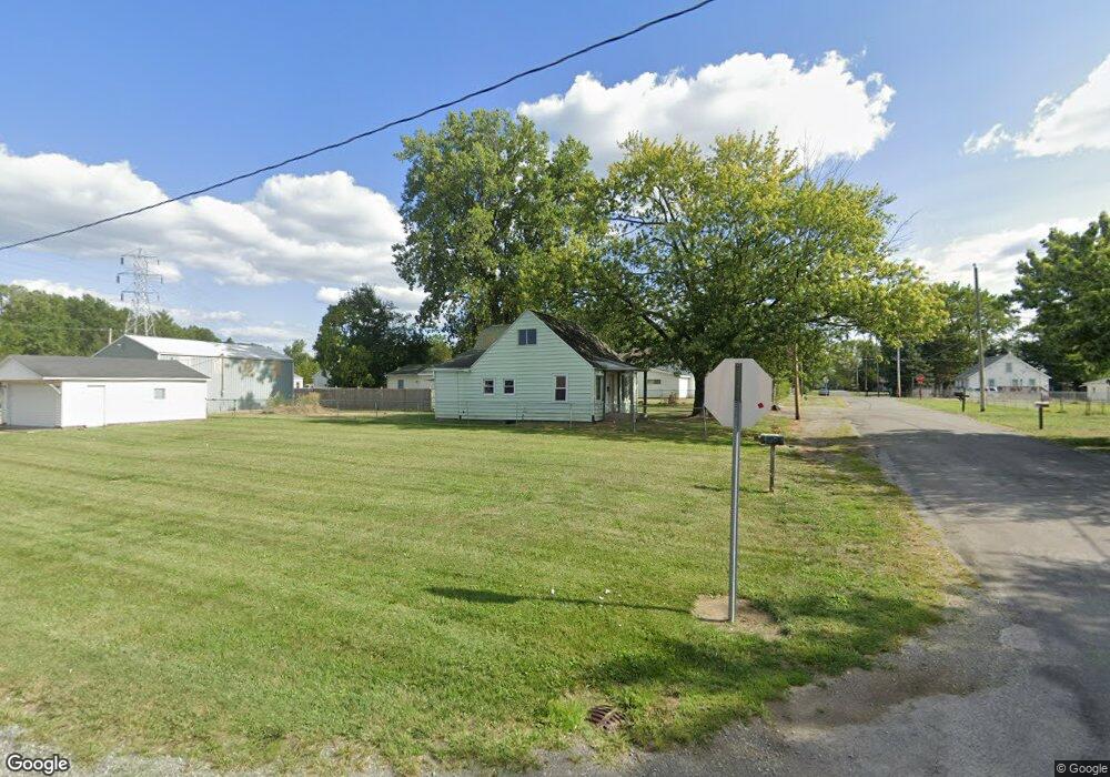
This home is located at 1904 N Elizabeth St, Lima, OH 45801 and is currently estimated at $92,676, approximately $63 per square foot. 1904 N Elizabeth St is a home located in Allen County with nearby schools including Bath Elementary School, Bath Middle School, and Bath High School.
Ownership History
Date
Name
Owned For
Owner Type
Purchase Details
Closed on
Mar 3, 2021
Sold by
Jacobs Robert E and Jacobs Barbara J
Bought by
Gerstner Robert
Current Estimated Value
Purchase Details
Closed on
Apr 2, 1996
Sold by
Hooks Helen
Bought by
Jacobs Robert and Jacobs Barbara
Home Financials for this Owner
Home Financials are based on the most recent Mortgage that was taken out on this home.
Original Mortgage
$32,433
Interest Rate
6.98%
Mortgage Type
New Conventional
Purchase Details
Closed on
Jan 30, 1987
Bought by
Hooks Helen L
Create a Home Valuation Report for This Property
The Home Valuation Report is an in-depth analysis detailing your home's value as well as a comparison with similar homes in the area
Home Values in the Area
Average Home Value in this Area
Purchase History
| Date | Buyer | Sale Price | Title Company |
|---|---|---|---|
| Gerstner Robert | $37,000 | None Available | |
| Jacobs Robert | $27,000 | -- | |
| Hooks Helen L | $23,000 | -- |
Source: Public Records
Mortgage History
| Date | Status | Borrower | Loan Amount |
|---|---|---|---|
| Previous Owner | Jacobs Robert | $32,433 |
Source: Public Records
Tax History Compared to Growth
Tax History
| Year | Tax Paid | Tax Assessment Tax Assessment Total Assessment is a certain percentage of the fair market value that is determined by local assessors to be the total taxable value of land and additions on the property. | Land | Improvement |
|---|---|---|---|---|
| 2024 | $678 | $14,850 | $1,860 | $12,990 |
| 2023 | $1,114 | $12,360 | $1,540 | $10,820 |
| 2022 | $643 | $12,360 | $1,540 | $10,820 |
| 2021 | $240 | $12,360 | $1,540 | $10,820 |
| 2020 | $350 | $14,530 | $1,440 | $13,090 |
| 2019 | $350 | $14,530 | $1,440 | $13,090 |
| 2018 | $347 | $14,530 | $1,440 | $13,090 |
| 2017 | $289 | $14,530 | $1,440 | $13,090 |
| 2016 | $286 | $14,530 | $1,440 | $13,090 |
| 2015 | $235 | $14,530 | $1,440 | $13,090 |
| 2014 | $235 | $13,410 | $1,440 | $11,970 |
| 2013 | $828 | $13,410 | $1,440 | $11,970 |
Source: Public Records
Map
Nearby Homes
- 105 Watt Ave
- 1628 Karen St
- 400 W Northern Ave
- 207 W Lane Ave
- 128 E Lane Ave
- 2370 N McDonel St
- 168 Lyre Bird Ln
- 1776 Virginia Ave
- 1200 N Main St
- 340 W Robb Ave
- 520 Kenmore St
- 1720 Brookwood Dr
- 610 W Robb Ave
- 2351 Burden Dr
- 711 Taylor Ave
- 765 W Lane Ave
- 608 W O'Connor Ave
- 2371 Mandolin Dr
- 645 W O'Connor Ave
- 812 W Ashton Ave
- 1906 N Elizabeth St
- 1900 N Elizabeth St
- 1908 N Elizabeth St
- 175 W Chapman Rd
- 110 Stanton Ave
- 1901 N Elizabeth St
- 1810 N Elizabeth St
- 1909 N Elizabeth St
- 1806 N Elizabeth St
- 109 Stanton Ave
- 209 W Chapman Rd
- 107 Stanton Ave
- 1807 N Elizabeth St
- 207 Stanton Ave
- 112 Watt Ave
- 213 W Chapman Rd
- 110 Watt Ave
- 180 Watt Ave