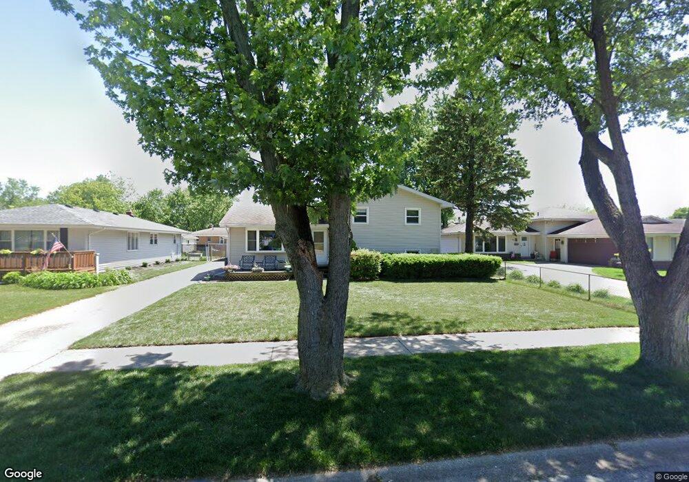
1904 Robin Dr Munster, IN 46321
Estimated Value: $352,452 - $423,000
3
Beds
2
Baths
1,824
Sq Ft
$209/Sq Ft
Est. Value
About This Home
This home is located at 1904 Robin Dr, Munster, IN 46321 and is currently estimated at $380,613, approximately $208 per square foot. 1904 Robin Dr is a home located in Lake County with nearby schools including Munster High School, Highland Christian School, and Our Lady Of Grace School.
Ownership History
Date
Name
Owned For
Owner Type
Purchase Details
Closed on
Apr 7, 2006
Sold by
Darrow Kenneth S and Darrow Judith T
Bought by
Snyder Christopher and Snyder Anne
Current Estimated Value
Home Financials for this Owner
Home Financials are based on the most recent Mortgage that was taken out on this home.
Original Mortgage
$158,000
Outstanding Balance
$91,425
Interest Rate
6.48%
Mortgage Type
Fannie Mae Freddie Mac
Estimated Equity
$289,188
Create a Home Valuation Report for This Property
The Home Valuation Report is an in-depth analysis detailing your home's value as well as a comparison with similar homes in the area
Home Values in the Area
Average Home Value in this Area
Purchase History
| Date | Buyer | Sale Price | Title Company |
|---|---|---|---|
| Snyder Christopher | -- | Chicago Title Insurance Co |
Source: Public Records
Mortgage History
| Date | Status | Borrower | Loan Amount |
|---|---|---|---|
| Open | Snyder Christopher | $158,000 |
Source: Public Records
Tax History Compared to Growth
Tax History
| Year | Tax Paid | Tax Assessment Tax Assessment Total Assessment is a certain percentage of the fair market value that is determined by local assessors to be the total taxable value of land and additions on the property. | Land | Improvement |
|---|---|---|---|---|
| 2024 | $8,456 | $304,000 | $54,400 | $249,600 |
| 2023 | $3,463 | $276,600 | $56,200 | $220,400 |
| 2022 | $3,463 | $263,000 | $56,200 | $206,800 |
| 2021 | $3,179 | $241,700 | $33,200 | $208,500 |
| 2020 | $3,100 | $235,400 | $33,200 | $202,200 |
| 2019 | $2,880 | $223,700 | $33,200 | $190,500 |
| 2018 | $3,269 | $214,900 | $33,200 | $181,700 |
| 2017 | $3,187 | $208,800 | $33,200 | $175,600 |
| 2016 | $2,963 | $201,800 | $33,200 | $168,600 |
| 2014 | $2,993 | $200,700 | $33,200 | $167,500 |
| 2013 | $3,139 | $213,900 | $33,200 | $180,700 |
Source: Public Records
Map
Nearby Homes
- 9123 Crestwood Ct
- 9211 Hawthorne Dr
- 9214 Wildwood Dr
- 9133 Foliage Ln
- 9331 Wildwood Dr
- 9337 Wildwood Dr
- 9210 Woodward Ave
- 1819 Magnolia Ln
- 8964 W Delaware Pkwy
- 1608 Tulip Ln
- 9023 Bunker Hill Dr
- 2291 Martha St Unit B2
- 2305 Martha St Unit D2
- 9235 Waymond Ave Unit 1
- 1613 Wren Ct
- 9554 Crestwood Ave
- 8814 Northcote Ave
- 1612 Wren Ct
- 8952 Branton Ave
- 9628 Crestwood Ave