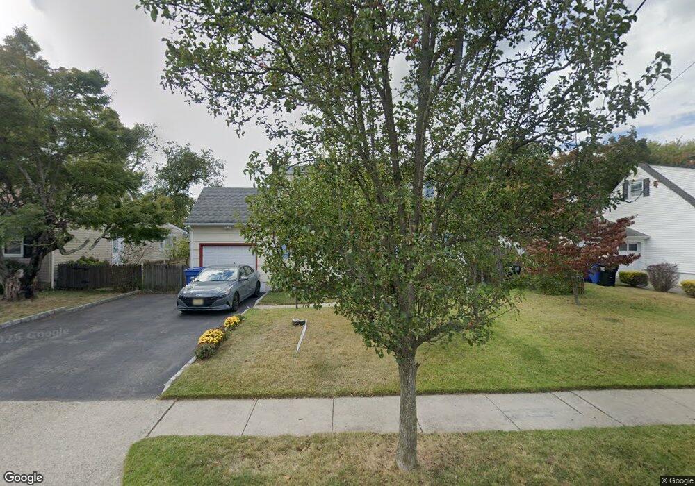
1904 S Central Ave South Plainfield, NJ 07080
Estimated Value: $555,000 - $636,000
--
Bed
--
Bath
--
Sq Ft
6,621
Sq Ft Lot
About This Home
This home is located at 1904 S Central Ave, South Plainfield, NJ 07080 and is currently estimated at $590,336. 1904 S Central Ave is a home located in Middlesex County with nearby schools including South Plainfield High School and Koinonia Academy.
Ownership History
Date
Name
Owned For
Owner Type
Purchase Details
Closed on
Oct 16, 1996
Sold by
Jaymes Linda
Bought by
Rochotte Michael and Rochotte Joan
Current Estimated Value
Home Financials for this Owner
Home Financials are based on the most recent Mortgage that was taken out on this home.
Original Mortgage
$115,000
Outstanding Balance
$10,681
Interest Rate
8.22%
Estimated Equity
$579,655
Create a Home Valuation Report for This Property
The Home Valuation Report is an in-depth analysis detailing your home's value as well as a comparison with similar homes in the area
Home Values in the Area
Average Home Value in this Area
Purchase History
| Date | Buyer | Sale Price | Title Company |
|---|---|---|---|
| Rochotte Michael | $124,500 | -- |
Source: Public Records
Mortgage History
| Date | Status | Borrower | Loan Amount |
|---|---|---|---|
| Open | Rochotte Michael | $115,000 |
Source: Public Records
Tax History Compared to Growth
Tax History
| Year | Tax Paid | Tax Assessment Tax Assessment Total Assessment is a certain percentage of the fair market value that is determined by local assessors to be the total taxable value of land and additions on the property. | Land | Improvement |
|---|---|---|---|---|
| 2025 | $11,220 | $160,700 | $29,600 | $131,100 |
| 2024 | $11,220 | $160,700 | $29,600 | $131,100 |
| 2023 | $10,732 | $160,700 | $29,600 | $131,100 |
| 2022 | $10,598 | $160,700 | $29,600 | $131,100 |
| 2021 | $10,349 | $160,700 | $29,600 | $131,100 |
| 2020 | $10,198 | $160,700 | $29,600 | $131,100 |
| 2019 | $9,785 | $160,700 | $29,600 | $131,100 |
| 2018 | $9,533 | $160,700 | $29,600 | $131,100 |
| 2017 | $9,411 | $160,700 | $29,600 | $131,100 |
| 2016 | $9,316 | $160,700 | $29,600 | $131,100 |
| 2015 | $9,155 | $160,700 | $29,600 | $131,100 |
| 2014 | $8,892 | $160,700 | $29,600 | $131,100 |
Source: Public Records
Map
Nearby Homes
- 1726 Kenyon Ave
- 1712 Kenyon Ave
- 241 Van Fleet Ave
- 260 Merchants Ave
- 533 Edgar Ave
- 105 Firth St
- 1400 Kenyon Ave
- 507 Cedarbrook Ave
- 551 Melrose Ave
- 1210 Field Ave
- 127 Remington Ave Unit 31
- 1210 Maltby Ave
- 1221 Grant Ave Unit 23
- 917 Tompkins Ave
- 1143 Worth Dr
- 480 Sampton Ave
- 131 Martin Dr
- 132 Parkside Rd
- 139 Palmer Ave
- 77 Parkside Rd Unit 89
- 1908 S Central Ave
- 1900 S Central Ave
- 1912 S Central Ave
- 139 Risoli Terrace
- 150 Conklin St
- 1913 S Central Ave
- 154 Risoli Terrace
- 1909 S Central Ave
- 1918 S Central Ave
- 1917 S Central Ave
- 146 Conklin St
- 135 Risoli Terrace
- 1840 S Central Ave
- 1845 S Central Ave
- 150 Risoli Terrace
- 1924 S Central Ave
- 1923 S Central Ave
- 176 Conklin St
- 140 Conklin St
- 1841 S Central Ave