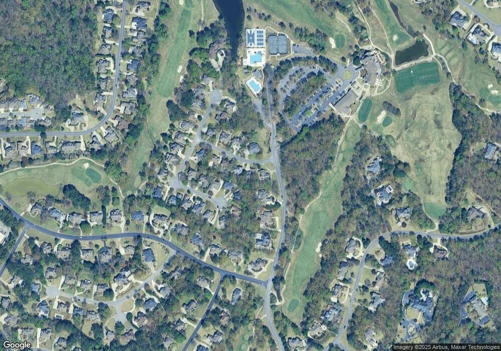
1904 Saint Ives Dr Birmingham, AL 35242
North Shelby County NeighborhoodEstimated Value: $624,682 - $716,000
--
Bed
3
Baths
3,537
Sq Ft
$191/Sq Ft
Est. Value
About This Home
This home is located at 1904 Saint Ives Dr, Birmingham, AL 35242 and is currently estimated at $677,171, approximately $191 per square foot. 1904 Saint Ives Dr is a home located in Shelby County with nearby schools including Greystone Elementary School, Berry Middle School, and Spain Park High School.
Ownership History
Date
Name
Owned For
Owner Type
Purchase Details
Closed on
Feb 10, 2006
Sold by
Brooks Mary A
Bought by
Brooks James
Current Estimated Value
Home Financials for this Owner
Home Financials are based on the most recent Mortgage that was taken out on this home.
Original Mortgage
$315,000
Outstanding Balance
$190,669
Interest Rate
7.5%
Mortgage Type
New Conventional
Estimated Equity
$486,502
Purchase Details
Closed on
Oct 4, 1999
Sold by
Adams Mark L and Adams Elisa
Bought by
Brooks James F and Brooks Shirley M
Home Financials for this Owner
Home Financials are based on the most recent Mortgage that was taken out on this home.
Original Mortgage
$240,000
Interest Rate
7.85%
Create a Home Valuation Report for This Property
The Home Valuation Report is an in-depth analysis detailing your home's value as well as a comparison with similar homes in the area
Home Values in the Area
Average Home Value in this Area
Purchase History
| Date | Buyer | Sale Price | Title Company |
|---|---|---|---|
| Brooks James | -- | None Available | |
| Brooks James F | $319,000 | -- |
Source: Public Records
Mortgage History
| Date | Status | Borrower | Loan Amount |
|---|---|---|---|
| Open | Brooks James | $315,000 | |
| Previous Owner | Brooks James F | $240,000 |
Source: Public Records
Tax History Compared to Growth
Tax History
| Year | Tax Paid | Tax Assessment Tax Assessment Total Assessment is a certain percentage of the fair market value that is determined by local assessors to be the total taxable value of land and additions on the property. | Land | Improvement |
|---|---|---|---|---|
| 2024 | $3,580 | $53,840 | $0 | $0 |
| 2023 | $2,665 | $44,660 | $0 | $0 |
| 2022 | $2,432 | $40,780 | $0 | $0 |
| 2021 | $2,487 | $38,020 | $0 | $0 |
| 2020 | $2,394 | $36,620 | $0 | $0 |
| 2019 | $2,302 | $35,240 | $0 | $0 |
| 2017 | $2,542 | $38,840 | $0 | $0 |
| 2015 | $2,506 | $38,300 | $0 | $0 |
| 2014 | $2,445 | $37,380 | $0 | $0 |
Source: Public Records
Map
Nearby Homes
- 2157 Cameron Cir
- 5029 Greystone Way
- 5320 Greystone Way
- 3525 Shandwick Place
- 1033 Linkside Dr
- 5056 Greystone Way
- 3536 Shandwick Place
- 3549 Shandwick Place
- 5615 Canongate Ln
- 3653 Shandwick Place
- 5246 Greystone Way
- 4539 High Court Cir
- 4035 Saint Charles Dr
- 1137 Berwick Rd
- 987 Garland Cove
- 1257 Greystone Parc Dr
- 1315 Berwick Dr
- 208 Woodbridge Ln
- 4342 Milner Rd W
- 121 Palmer Cove
- 1908 Saint Ives Dr
- 1900 Saint Ives Dr
- 2146 Cameron Cir
- 4082 Greystone Dr
- 2150 Cameron Cir
- 1912 Saint Ives Dr
- 1901 Saint Ives Dr
- 2142 Cameron Cir
- 2154 Cameron Cir
- 1916 Saint Ives Dr
- 1905 Saint Ives Dr
- 4078 Greystone Dr
- 2138 Cameron Cir
- 1909 Saint Ives Dr
- 1920 Saint Ives Dr
- 2153 Cameron Cir
- 2130 Cameron Cir
- 1913 St Ives Dr
- 2149 Cameron Cir
- 2149 Cameron Cir
