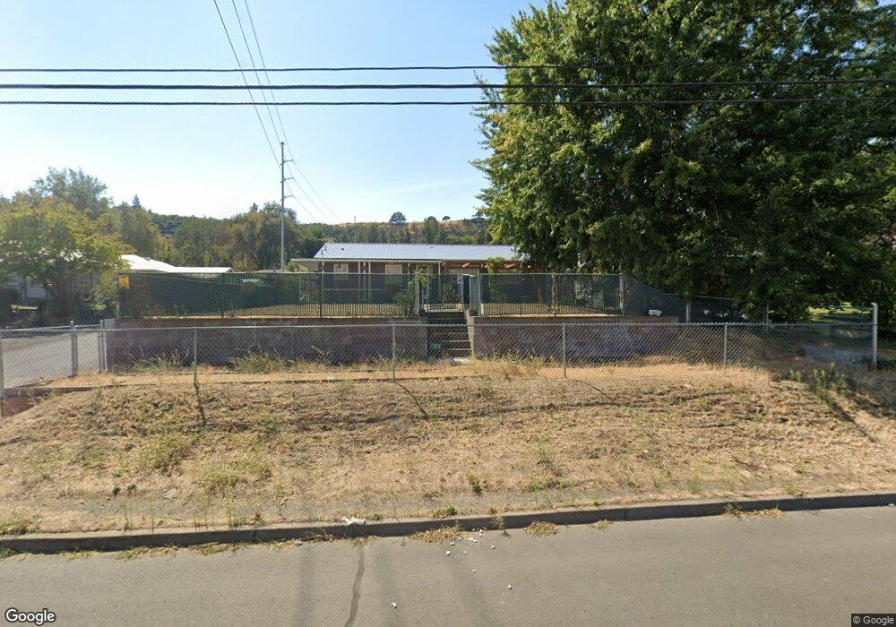
1904 W 10th St the Dalles, OR 97058
Estimated Value: $383,000 - $416,000
3
Beds
1
Bath
2,464
Sq Ft
$160/Sq Ft
Est. Value
About This Home
This home is located at 1904 W 10th St, the Dalles, OR 97058 and is currently estimated at $394,790, approximately $160 per square foot. 1904 W 10th St is a home located in Wasco County with nearby schools including Colonel Wright Elementary School, The Dalles Middle School, and The Dalles High School.
Ownership History
Date
Name
Owned For
Owner Type
Purchase Details
Closed on
Jan 8, 2014
Sold by
Cochran George J
Bought by
Mcclure Carolyn J
Current Estimated Value
Home Financials for this Owner
Home Financials are based on the most recent Mortgage that was taken out on this home.
Original Mortgage
$155,612
Outstanding Balance
$116,890
Interest Rate
4.26%
Mortgage Type
New Conventional
Estimated Equity
$277,900
Purchase Details
Closed on
Jul 30, 2013
Sold by
Cochran George
Bought by
Cochran George J and George And Jacqueline Cochran Revocable
Purchase Details
Closed on
Mar 7, 2008
Sold by
Taylor Reba A
Bought by
Williams Christopher John and Williams Jennifer Marie
Home Financials for this Owner
Home Financials are based on the most recent Mortgage that was taken out on this home.
Original Mortgage
$162,375
Interest Rate
5.65%
Mortgage Type
Future Advance Clause Open End Mortgage
Create a Home Valuation Report for This Property
The Home Valuation Report is an in-depth analysis detailing your home's value as well as a comparison with similar homes in the area
Home Values in the Area
Average Home Value in this Area
Purchase History
| Date | Buyer | Sale Price | Title Company |
|---|---|---|---|
| Mcclure Carolyn J | $152,500 | Amerititle | |
| Cochran George J | -- | None Available | |
| Williams Christopher John | $162,375 | -- |
Source: Public Records
Mortgage History
| Date | Status | Borrower | Loan Amount |
|---|---|---|---|
| Open | Mcclure Carolyn J | $155,612 | |
| Previous Owner | Williams Christopher John | $162,375 |
Source: Public Records
Tax History Compared to Growth
Tax History
| Year | Tax Paid | Tax Assessment Tax Assessment Total Assessment is a certain percentage of the fair market value that is determined by local assessors to be the total taxable value of land and additions on the property. | Land | Improvement |
|---|---|---|---|---|
| 2024 | $3,045 | $169,197 | -- | -- |
| 2023 | $2,957 | $164,269 | $0 | $0 |
| 2022 | $2,752 | $31,779 | $0 | $0 |
| 2021 | $2,668 | $30,853 | $0 | $0 |
| 2020 | $2,601 | $29,954 | $0 | $0 |
| 2019 | $2,747 | $29,082 | $0 | $0 |
| 2018 | $2,671 | $134,872 | $0 | $0 |
| 2017 | $2,586 | $130,944 | $0 | $0 |
| 2016 | $2,530 | $127,130 | $0 | $0 |
Source: Public Records
Map
Nearby Homes
- 1622 W 12th St
- 1606 W 10th St
- 1105 Blakely Way
- 2226 W 8th St
- 2314 W 12th St
- 2314 W 12th St Unit 1
- 2316 W 12th St Unit 2
- 2318 W 12th St Unit 3
- 2320 W 12th St Unit 4
- 2322 W 12th St Unit 5
- 0 W 15th St Unit 35 22102305
- 1405 Gordon Ct
- 2512 W 13th St
- 0 Sandstone Way
- 1832 Cherry Heights Rd
- 921 Verdant St
- 990 W 8th Place
- 2829 W 9th St
- 811 W 9th St
- 719 W 11th St