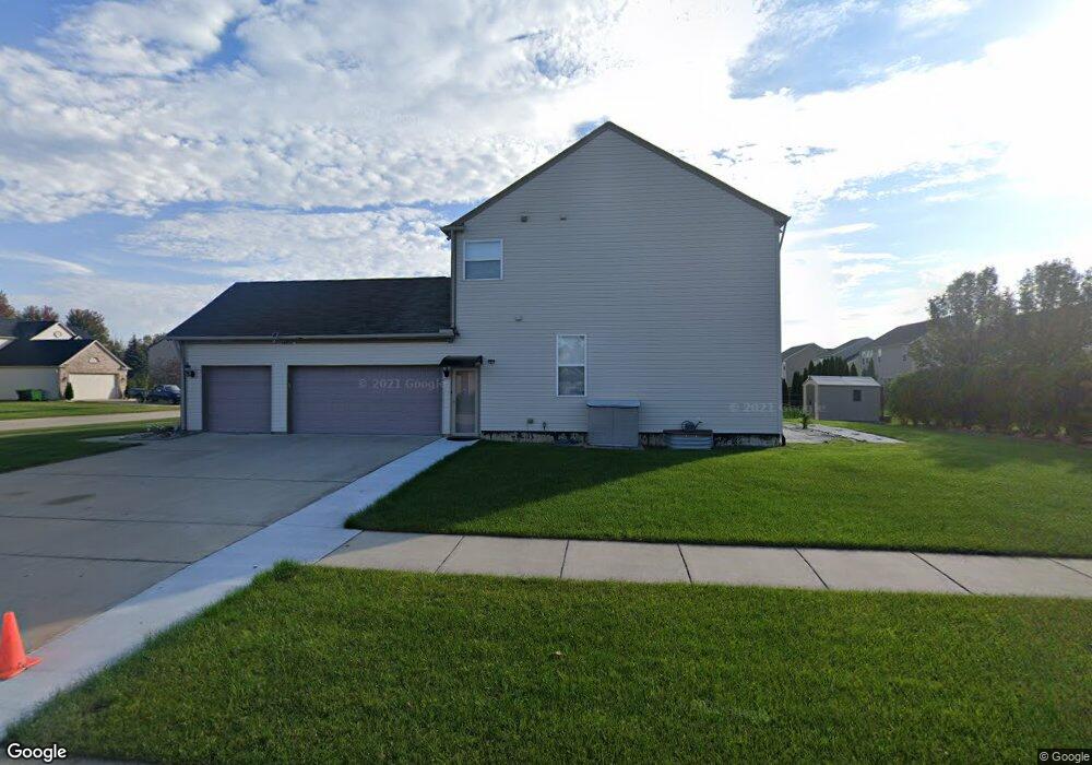
19042 Gearhart Dr Unit 48 Macomb, MI 48042
Estimated Value: $459,000 - $564,000
4
Beds
3
Baths
2,475
Sq Ft
$201/Sq Ft
Est. Value
About This Home
This home is located at 19042 Gearhart Dr Unit 48, Macomb, MI 48042 and is currently estimated at $497,289, approximately $200 per square foot. 19042 Gearhart Dr Unit 48 is a home located in Macomb County with nearby schools including New Haven High School, St. Peter Lutheran School, and Lutheran North High School.
Ownership History
Date
Name
Owned For
Owner Type
Purchase Details
Closed on
Apr 21, 2025
Sold by
Anton Craig G
Bought by
Bousho Deborah I
Current Estimated Value
Purchase Details
Closed on
Sep 28, 2009
Sold by
Pulte Land Company Llc
Bought by
Bousho Deborah I and Anton Craig G
Home Financials for this Owner
Home Financials are based on the most recent Mortgage that was taken out on this home.
Original Mortgage
$228,346
Interest Rate
5.1%
Mortgage Type
New Conventional
Create a Home Valuation Report for This Property
The Home Valuation Report is an in-depth analysis detailing your home's value as well as a comparison with similar homes in the area
Home Values in the Area
Average Home Value in this Area
Purchase History
| Date | Buyer | Sale Price | Title Company |
|---|---|---|---|
| Bousho Deborah I | -- | None Listed On Document | |
| Bousho Deborah I | -- | None Listed On Document | |
| Bousho Deborah I | $43,000 | None Available |
Source: Public Records
Mortgage History
| Date | Status | Borrower | Loan Amount |
|---|---|---|---|
| Previous Owner | Bousho Deborah I | $228,346 |
Source: Public Records
Tax History Compared to Growth
Tax History
| Year | Tax Paid | Tax Assessment Tax Assessment Total Assessment is a certain percentage of the fair market value that is determined by local assessors to be the total taxable value of land and additions on the property. | Land | Improvement |
|---|---|---|---|---|
| 2025 | $4,831 | $225,400 | $0 | $0 |
| 2024 | $3,050 | $219,100 | $0 | $0 |
| 2023 | $2,890 | $195,700 | $0 | $0 |
| 2022 | $4,380 | $170,200 | $0 | $0 |
| 2021 | $4,259 | $161,700 | $0 | $0 |
| 2020 | $2,657 | $159,400 | $0 | $0 |
| 2019 | $3,941 | $151,200 | $0 | $0 |
| 2018 | $3,748 | $143,700 | $0 | $0 |
| 2017 | $3,673 | $135,520 | $32,000 | $103,520 |
| 2016 | $3,480 | $135,480 | $0 | $0 |
| 2015 | $3,489 | $125,400 | $0 | $0 |
| 2014 | $3,489 | $115,770 | $19,000 | $96,770 |
| 2013 | $2,137 | $115,770 | $0 | $0 |
Source: Public Records
Map
Nearby Homes
- 56452 Scotland
- 18899 Livingston Dr
- 56508 Topaz Dr
- 18883 Brighton Dr
- 56714 Winding Creek Dr
- 19164 Thornberry Dr
- 18620 Stallmann Dr
- 18430 Stallman Dr
- 55649 Faldo Dr Unit 141
- 17836 Country Club Dr
- 18064 Stallman Dr
- 18037 Player Dr
- 18005 Player Dr
- 17829 Stallman Dr
- 18213 Stallman Dr Unit 137
- 55203 Saint Paul Dr
- 18727 Saint Matthew Dr
- 18582 Stallmann Dr
- 55802 Jones Dr
- 17835 Player Dr
- 19060 Gearhart Dr Unit 47
- 56857 Lindale Ave Unit 50
- 19047 Hazelton Dr Unit 57
- 19078 Gearhart Dr
- 19078 Gearhart Dr Unit 46
- 19065 Hazelton Dr Unit 58
- 56883 Lindale Ave Unit 49
- 19051 Gearhart Dr Unit 3
- 56831 Lindale Ave Unit 51
- 56831 Lindale Ave
- 19033 Gearhart Dr
- 19069 Gearhart Dr Unit 4
- 19069 Gearhart Dr Unit 4
- 19083 Hazelton Dr Unit 59
- 19096 Gearhart Dr Unit 45
- 19096 Gearhart Dr
- 19087 Gearhart Dr Unit 5
- 56805 Lindale Ave Unit 52
- 19101 Hazelton Dr Unit 60
- 19101 Hazelton Dr