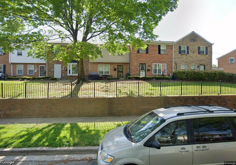
1905 Addison Rd S District Heights, MD 20747
Estimated Value: $190,687 - $224,000
--
Bed
--
Bath
1,182
Sq Ft
$172/Sq Ft
Est. Value
About This Home
This home is located at 1905 Addison Rd S, District Heights, MD 20747 and is currently estimated at $203,172, approximately $171 per square foot. 1905 Addison Rd S is a home located in Prince George's County with nearby schools including John H. Bayne Elementary School, Walker Mill Middle School, and Suitland High School.
Ownership History
Date
Name
Owned For
Owner Type
Purchase Details
Closed on
Jun 27, 2007
Sold by
Lee Irvin S
Bought by
Lowery Irma
Current Estimated Value
Home Financials for this Owner
Home Financials are based on the most recent Mortgage that was taken out on this home.
Original Mortgage
$117,000
Outstanding Balance
$72,133
Interest Rate
6.33%
Mortgage Type
Stand Alone Refi Refinance Of Original Loan
Estimated Equity
$131,039
Purchase Details
Closed on
Mar 8, 2007
Sold by
Lee Irvin S
Bought by
Lowery Irma
Home Financials for this Owner
Home Financials are based on the most recent Mortgage that was taken out on this home.
Original Mortgage
$117,000
Interest Rate
6.33%
Mortgage Type
New Conventional
Purchase Details
Closed on
Nov 17, 1978
Sold by
Matthews Earl W
Bought by
Lee Irvin S and Irma Lowery
Create a Home Valuation Report for This Property
The Home Valuation Report is an in-depth analysis detailing your home's value as well as a comparison with similar homes in the area
Home Values in the Area
Average Home Value in this Area
Purchase History
| Date | Buyer | Sale Price | Title Company |
|---|---|---|---|
| Lowery Irma | -- | -- | |
| Lowery Irma | -- | -- | |
| Lee Irvin S | $37,000 | -- |
Source: Public Records
Mortgage History
| Date | Status | Borrower | Loan Amount |
|---|---|---|---|
| Open | Lowery Irma | $117,000 | |
| Previous Owner | Lowery Irma | $117,000 |
Source: Public Records
Tax History Compared to Growth
Tax History
| Year | Tax Paid | Tax Assessment Tax Assessment Total Assessment is a certain percentage of the fair market value that is determined by local assessors to be the total taxable value of land and additions on the property. | Land | Improvement |
|---|---|---|---|---|
| 2025 | $1,363 | $167,333 | -- | -- |
| 2024 | $1,363 | $154,667 | $0 | $0 |
| 2023 | $1,286 | $142,000 | $42,600 | $99,400 |
| 2022 | $1,405 | $126,333 | $0 | $0 |
| 2021 | $36,007 | $110,667 | $0 | $0 |
| 2020 | $2,149 | $95,000 | $28,500 | $66,500 |
| 2019 | $1,217 | $85,000 | $0 | $0 |
| 2018 | $951 | $75,000 | $0 | $0 |
| 2017 | $899 | $65,000 | $0 | $0 |
| 2016 | -- | $60,000 | $0 | $0 |
| 2015 | $1,342 | $55,000 | $0 | $0 |
| 2014 | $1,342 | $50,000 | $0 | $0 |
Source: Public Records
Map
Nearby Homes
- 1705 Addison Rd S
- 1621 Addison Rd S
- 1631 Addison Rd S Unit 1631
- 1601 Addison Rd S
- 6902 Diamond Ct
- 6808 Amber Hill Ct
- 6909 Bank Run Terrace
- 6805 Milltown Ct
- 7001 Migliori Ct
- 1301 Karen Blvd Unit 403
- 1311 Karen Blvd Unit 407
- 2208 Breton Dr
- 6807 Elmhurst St
- 2206 Ramblewood Dr
- 2304 Ramblewood Dr
- 6918 Gateway Blvd
- 1804 Glendora Dr
- 6508 Foster St
- 1408 Shady Glen Dr
- 2017 County Rd
- 1903 Addison Rd S
- 1939 Addison Rd S
- 1907 Addison Rd S
- 1941 Addison Rd S
- 1901 Addison Rd S
- 1909 Addison Rd S
- 1937 Addison Rd S
- 1937 Addison Rd S Unit 1937
- 1911 Addison Rd S
- 1943 Addison Rd S
- 1913 Addison Rd S
- 1977 Addison Rd S
- 1945 Addison Rd S
- 1727 Addison Rd S
- 1915 Addison Rd S
- 1729 Addison Rd S
- 1973 Addison Rd S
- 1753 Addison Rd S
- 1755 Addison Rd S
- 1725 Addison Rd S