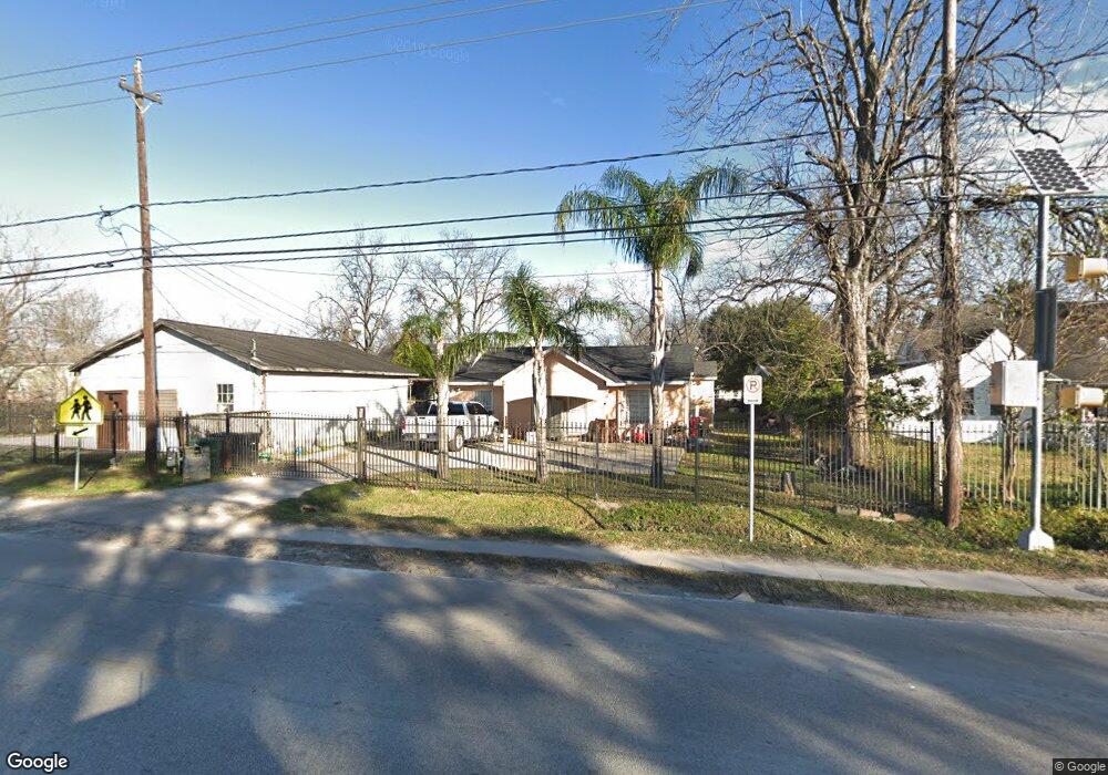
1905 Berry Rd Houston, TX 77093
Eastex-Jensen NeighborhoodEstimated Value: $167,069 - $233,000
3
Beds
1
Bath
1,304
Sq Ft
$152/Sq Ft
Est. Value
About This Home
This home is located at 1905 Berry Rd, Houston, TX 77093 and is currently estimated at $198,267, approximately $152 per square foot. 1905 Berry Rd is a home located in Harris County with nearby schools including Berry Elementary School, Patrick Henry Middle School, and Sam Houston Math, Science & Technology Center.
Ownership History
Date
Name
Owned For
Owner Type
Purchase Details
Closed on
Jul 27, 2005
Sold by
Vazquez Franciso
Bought by
Salman Jorge Omar and Salman Susy
Current Estimated Value
Home Financials for this Owner
Home Financials are based on the most recent Mortgage that was taken out on this home.
Original Mortgage
$52,500
Interest Rate
5.55%
Mortgage Type
Stand Alone First
Purchase Details
Closed on
Jun 24, 2002
Sold by
Vazquez Francisco and Salman Jorge Omar
Bought by
Salman Armando
Create a Home Valuation Report for This Property
The Home Valuation Report is an in-depth analysis detailing your home's value as well as a comparison with similar homes in the area
Home Values in the Area
Average Home Value in this Area
Purchase History
| Date | Buyer | Sale Price | Title Company |
|---|---|---|---|
| Salman Jorge Omar | -- | Southern Title Ins Corp | |
| Salman Armando | -- | American Title Co |
Source: Public Records
Mortgage History
| Date | Status | Borrower | Loan Amount |
|---|---|---|---|
| Closed | Salman Jorge Omar | $52,500 |
Source: Public Records
Tax History Compared to Growth
Tax History
| Year | Tax Paid | Tax Assessment Tax Assessment Total Assessment is a certain percentage of the fair market value that is determined by local assessors to be the total taxable value of land and additions on the property. | Land | Improvement |
|---|---|---|---|---|
| 2025 | $831 | $153,021 | $54,873 | $98,148 |
| 2024 | $831 | $129,650 | $48,171 | $81,479 |
| 2023 | $831 | $116,687 | $48,171 | $68,516 |
| 2022 | $1,540 | $92,533 | $31,416 | $61,117 |
| 2021 | $1,482 | $88,766 | $31,416 | $57,350 |
| 2020 | $1,400 | $81,425 | $31,416 | $50,009 |
| 2019 | $1,330 | $52,543 | $16,755 | $35,788 |
| 2018 | $767 | $52,543 | $16,755 | $35,788 |
| 2017 | $1,329 | $52,543 | $16,755 | $35,788 |
| 2016 | $1,329 | $52,543 | $16,755 | $35,788 |
| 2015 | $1,124 | $54,711 | $16,755 | $37,956 |
| 2014 | $1,124 | $63,053 | $16,755 | $46,298 |
Source: Public Records
Map
Nearby Homes
- 8718 Brannon St
- 2017 Sadler St
- 9021 Lomax St
- 2630 Keeland St
- 2608 Bostic St
- 8109 W Hardy Rd
- 1817 Mcdaniel St
- 2823 Berry Rd
- 2624 Deams St
- 2401 Mcdaniel St
- 2900 Luell St
- 8418 Jensen Dr
- 1016 Apache St
- 1104 Charnwood St
- 1207 Firnat St
- 2413 E Crosstimbers St
- 3008 Bostic St
- 7722 West St
- 1928 E Crosstimbers St
- 2940 Sadler St
- 1901 Berry Rd
- 1911 Berry Rd
- 8613 Brannon St
- 8622 Suburban Oaks Rd
- 8617 Brannon St
- 8626 Suburban Oaks Rd
- 8621 Brannon St
- 8630 Suburban Oaks Rd
- 8610 Brannon St
- 1829 Berry Rd
- 8615 Suburban Oaks Rd
- 8634 Suburban Oaks Rd
- 8619 Suburban Oaks Rd
- 8625 Brannon St
- 1824 Berry Rd
- 1830 Berry Rd
- 8618 Brannon St
- 8627 Suburban Oaks Rd
- 8638 Suburban Oaks Rd
- 8629 Brannon St