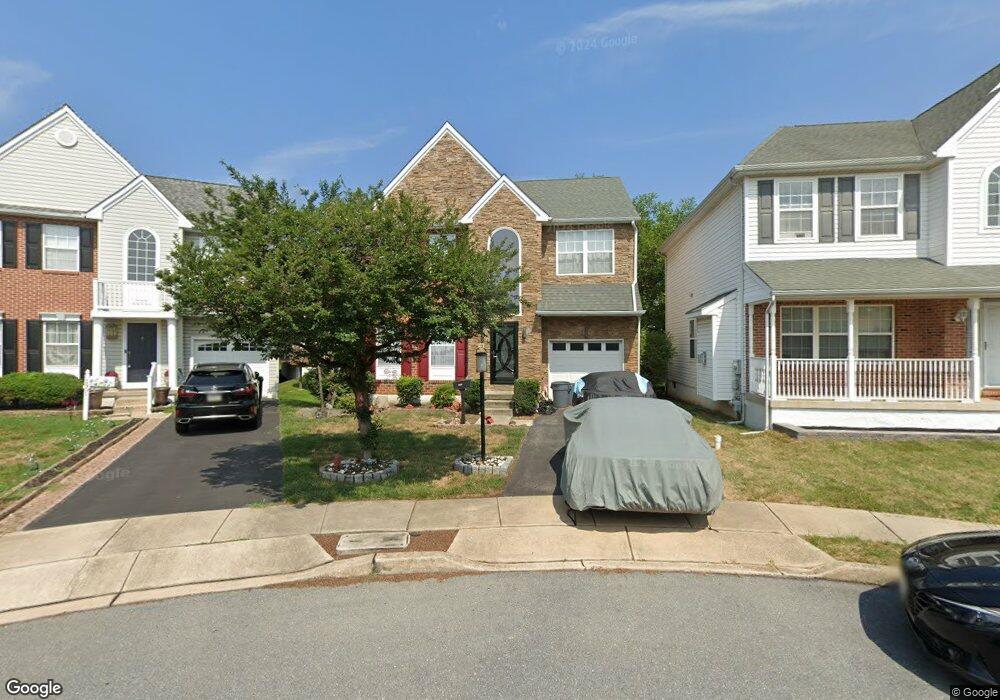
1905 Bradford Place Morton, PA 19070
Estimated Value: $418,000 - $458,000
3
Beds
3
Baths
2,026
Sq Ft
$213/Sq Ft
Est. Value
About This Home
This home is located at 1905 Bradford Place, Morton, PA 19070 and is currently estimated at $432,036, approximately $213 per square foot. 1905 Bradford Place is a home located in Delaware County with nearby schools including Amosland El School, Ridley Middle School, and Ridley High School.
Ownership History
Date
Name
Owned For
Owner Type
Purchase Details
Closed on
Dec 8, 1995
Sold by
Hllings Properties Ridley Ltd Part
Bought by
Petril Robert W and Petril Maria T
Current Estimated Value
Home Financials for this Owner
Home Financials are based on the most recent Mortgage that was taken out on this home.
Original Mortgage
$114,000
Outstanding Balance
$2,323
Interest Rate
7.33%
Estimated Equity
$429,713
Create a Home Valuation Report for This Property
The Home Valuation Report is an in-depth analysis detailing your home's value as well as a comparison with similar homes in the area
Home Values in the Area
Average Home Value in this Area
Purchase History
| Date | Buyer | Sale Price | Title Company |
|---|---|---|---|
| Petril Robert W | $199,500 | -- |
Source: Public Records
Mortgage History
| Date | Status | Borrower | Loan Amount |
|---|---|---|---|
| Open | Petril Robert W | $114,000 |
Source: Public Records
Tax History Compared to Growth
Tax History
| Year | Tax Paid | Tax Assessment Tax Assessment Total Assessment is a certain percentage of the fair market value that is determined by local assessors to be the total taxable value of land and additions on the property. | Land | Improvement |
|---|---|---|---|---|
| 2025 | $6,935 | $199,730 | $58,060 | $141,670 |
| 2024 | $6,935 | $199,730 | $58,060 | $141,670 |
| 2023 | $6,633 | $199,730 | $58,060 | $141,670 |
| 2022 | $6,421 | $199,730 | $58,060 | $141,670 |
| 2021 | $9,939 | $199,730 | $58,060 | $141,670 |
| 2020 | $10,164 | $179,930 | $44,650 | $135,280 |
| 2019 | $9,978 | $179,930 | $44,650 | $135,280 |
| 2018 | $9,854 | $179,930 | $0 | $0 |
| 2017 | $9,854 | $179,930 | $0 | $0 |
| 2016 | $987 | $179,930 | $0 | $0 |
| 2015 | $1,008 | $179,930 | $0 | $0 |
| 2014 | $987 | $179,930 | $0 | $0 |
Source: Public Records
Map
Nearby Homes
- 510 Amosland Rd
- 1919 Pershing Ave
- 2202 Clayton Rd
- 706 Brooke Ave
- 734 Brooke Cir
- 361 Amosland Rd
- 370 Amosland Rd
- 339 Sutton Ave
- 537 Folsom Ave
- 31 Faraday Ct
- 1828 5th Ave
- 668 Hutchinson Terrace
- 115 President Ave
- 357 Cedar Ave
- 810 Quince Ln
- 363 Holmes Rd
- 1908 Franklin Ave
- 2329 Armstrong Ave
- 4 Linden Ave
- 31 Silver Lake Terrace Unit 32
- 1909 Bradford Place
- 1901 Bradford Place
- 1902 Bradford Place
- 1910 Shasta Cir
- 1906 Shasta Cir
- 651 Acer Ave
- 635 Foxglove Dr
- 655 Acer Ave
- 1906 Bradford Place
- 1914 Shasta Cir
- 1902 Shasta Cir
- 639 Foxglove Dr
- 1910 Bradford Place
- 1918 Shasta Cir
- 1914 Bradford Place
- 1901 Shasta Cir
- 630 Foxglove Dr
- 623 Foxglove Dr
- 650 Acer Ave
- 626 Foxglove Dr