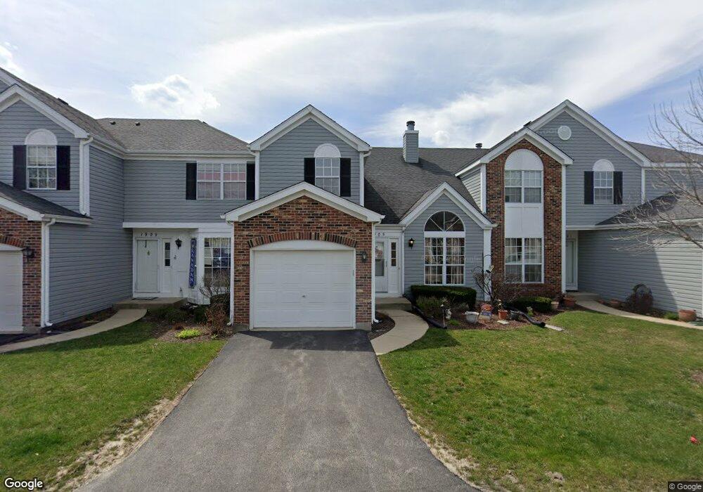
1905 Buckeridge Ct Gurnee, IL 60031
Estimated Value: $270,000 - $284,000
2
Beds
2
Baths
1,432
Sq Ft
$193/Sq Ft
Est. Value
About This Home
This home is located at 1905 Buckeridge Ct, Gurnee, IL 60031 and is currently estimated at $276,684, approximately $193 per square foot. 1905 Buckeridge Ct is a home located in Lake County with nearby schools including Woodland Primary School, Woodland Intermediate School, and Woodland Elementary School.
Ownership History
Date
Name
Owned For
Owner Type
Purchase Details
Closed on
Jan 6, 1998
Sold by
Cole Taylor Bank
Bought by
Hernandez John A and Hernandez Barbara A
Current Estimated Value
Home Financials for this Owner
Home Financials are based on the most recent Mortgage that was taken out on this home.
Original Mortgage
$110,700
Outstanding Balance
$19,382
Interest Rate
7.24%
Estimated Equity
$257,302
Create a Home Valuation Report for This Property
The Home Valuation Report is an in-depth analysis detailing your home's value as well as a comparison with similar homes in the area
Home Values in the Area
Average Home Value in this Area
Purchase History
| Date | Buyer | Sale Price | Title Company |
|---|---|---|---|
| Hernandez John A | $123,000 | Prairie Title |
Source: Public Records
Mortgage History
| Date | Status | Borrower | Loan Amount |
|---|---|---|---|
| Open | Hernandez John A | $110,700 |
Source: Public Records
Tax History Compared to Growth
Tax History
| Year | Tax Paid | Tax Assessment Tax Assessment Total Assessment is a certain percentage of the fair market value that is determined by local assessors to be the total taxable value of land and additions on the property. | Land | Improvement |
|---|---|---|---|---|
| 2024 | $4,101 | $78,535 | $10,560 | $67,975 |
| 2023 | $4,949 | $68,786 | $9,249 | $59,537 |
| 2022 | $4,949 | $60,951 | $8,179 | $52,772 |
| 2021 | $4,311 | $58,506 | $7,851 | $50,655 |
| 2020 | $4,748 | $57,068 | $7,658 | $49,410 |
| 2019 | $4,607 | $55,412 | $7,436 | $47,976 |
| 2018 | $4,314 | $52,949 | $3,962 | $48,987 |
| 2017 | $4,263 | $51,431 | $3,848 | $47,583 |
| 2016 | $4,214 | $49,141 | $3,677 | $45,464 |
| 2015 | $4,090 | $46,605 | $3,487 | $43,118 |
| 2014 | $3,839 | $44,362 | $3,440 | $40,922 |
| 2012 | $4,255 | $44,701 | $3,466 | $41,235 |
Source: Public Records
Map
Nearby Homes
- 1881 Canterbury Ct
- 1896 Windsor Ct
- 5895 Delaware Ave
- 1848 Princeton Ct
- 5570 Medinah Ct
- 1577 N Dilleys Rd
- 5370 Sequoia Ct
- 36537 N Fox Hill Dr
- 0 Manchester Dr Unit MRD11397080
- 2208 Sanctuary Ct
- 0 Tri State Pkwy
- 36625 N Kimberwick Ln
- 5205 Notting Hill Rd
- 5155 Portage Ln
- 1999 N Fuller Rd
- 15190 W Stearns School Rd
- 36396 N Skokie Hwy
- 0 Hunt Club Rd Unit MRD12261326
- 1554 Deer Run Rd
- 37108 N Kimberwick Ln
- 1909 Buckeridge Ct
- 1901 Buckeridge Ct
- 1913 Buckeridge Ct
- 1880 Independence Ct
- 1917 Buckeridge Ct
- 5948 Delaware Ave
- 1876 Independence Ct
- 1883 Independence Ct
- 1902 Buckeridge Ct
- 5942 Delaware Ave
- 5942 Delaware Ave Unit 2A
- 1906 Buckeridge Ct
- 1898 Buckeridge Ct
- 5936 Delaware Ave
- 1910 Buckeridge Ct
- 1894 Buckeridge Ct
- 1872 Independence Ct
- 1914 Buckeridge Ct
- 5930 Delaware Ave
- 1875 Independence Ct