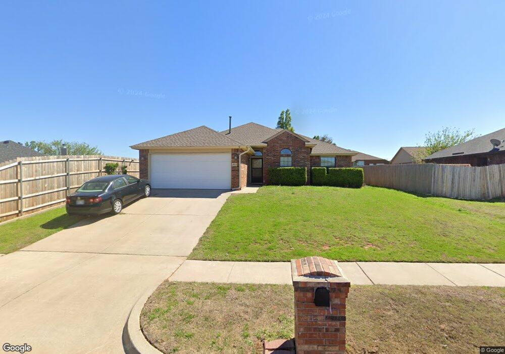
1905 Cloverdale Ln Norman, OK 73071
Southeast Norman NeighborhoodEstimated Value: $220,742 - $239,000
3
Beds
2
Baths
1,435
Sq Ft
$161/Sq Ft
Est. Value
About This Home
This home is located at 1905 Cloverdale Ln, Norman, OK 73071 and is currently estimated at $230,936, approximately $160 per square foot. 1905 Cloverdale Ln is a home located in Cleveland County with nearby schools including Ronald Reagan Elementary School, Irving Middle School, and Norman High School.
Ownership History
Date
Name
Owned For
Owner Type
Purchase Details
Closed on
Nov 30, 2006
Sold by
David Kelso Spradling Ii Family Living T
Bought by
Spradling David K and Spradling Nancy M
Current Estimated Value
Home Financials for this Owner
Home Financials are based on the most recent Mortgage that was taken out on this home.
Original Mortgage
$75,000
Outstanding Balance
$6,312
Interest Rate
3.38%
Mortgage Type
New Conventional
Estimated Equity
$224,624
Purchase Details
Closed on
Dec 5, 2003
Sold by
Barkan Gregory E
Bought by
Spradling Ii David Kelso and Spradling Nancy
Create a Home Valuation Report for This Property
The Home Valuation Report is an in-depth analysis detailing your home's value as well as a comparison with similar homes in the area
Home Values in the Area
Average Home Value in this Area
Purchase History
| Date | Buyer | Sale Price | Title Company |
|---|---|---|---|
| Spradling David K | -- | None Available | |
| Spradling Ii David Kelso | $95,000 | -- |
Source: Public Records
Mortgage History
| Date | Status | Borrower | Loan Amount |
|---|---|---|---|
| Open | Spradling David K | $75,000 |
Source: Public Records
Tax History Compared to Growth
Tax History
| Year | Tax Paid | Tax Assessment Tax Assessment Total Assessment is a certain percentage of the fair market value that is determined by local assessors to be the total taxable value of land and additions on the property. | Land | Improvement |
|---|---|---|---|---|
| 2024 | $2,028 | $16,931 | $2,751 | $14,180 |
| 2023 | $1,936 | $16,124 | $3,027 | $13,097 |
| 2022 | $1,768 | $15,357 | $2,806 | $12,551 |
| 2021 | $1,775 | $14,625 | $2,400 | $12,225 |
| 2020 | $1,737 | $14,625 | $2,400 | $12,225 |
| 2019 | $1,767 | $14,625 | $2,400 | $12,225 |
| 2018 | $1,714 | $14,626 | $2,400 | $12,226 |
| 2017 | $1,733 | $14,626 | $0 | $0 |
| 2016 | $1,710 | $14,196 | $2,329 | $11,867 |
| 2015 | -- | $13,521 | $1,295 | $12,226 |
| 2014 | -- | $13,521 | $1,295 | $12,226 |
Source: Public Records
Map
Nearby Homes
- 2005 Old Central Dr
- 2017 Old Central Dr
- 1918 Hollow Crest Ct
- 1914 Hollow Crest Ct
- 1910 Hollow Crest Ct
- 1908 Frost Ln
- 3010 Hollow Crest Ln
- 3014 Hollow Crest Ln
- 3018 Hollow Crest Ln
- 2001 Oakville Place
- 2100 Valley Hollow
- 2109 Valley Hollow
- 2125 Valley Hollow
- 3209 Valley Hollow
- 2312 Twisted Oak Dr
- 3300 Valley Brook
- 2361 Heatherfield Ln
- 1900 Twin Tree Dr
- 1326 Pebble Pond Dr
- 1301 Briar Patch Way
- 1909 Cloverdale Ln
- 2900 E Lake Dr
- 1912 Old Central Dr
- 1916 Old Central Dr
- 2820 E Lake Dr
- 1908 Old Central Dr
- 1920 Old Central Dr
- 2825 Wheatland Dr
- 1900 Old Central Dr
- 1924 Old Central Dr
- 2821 Wheatland Dr
- 2821 E Lake Dr
- 2901 E Lake Dr
- 2812 E Lake Dr
- 2905 E Lake Dr
- 2001 Cloverdale Ln
- 1913 Old Central Dr
- 1917 Old Central Dr
- 2819 Wheatland Dr
- 2000 Old Central Dr