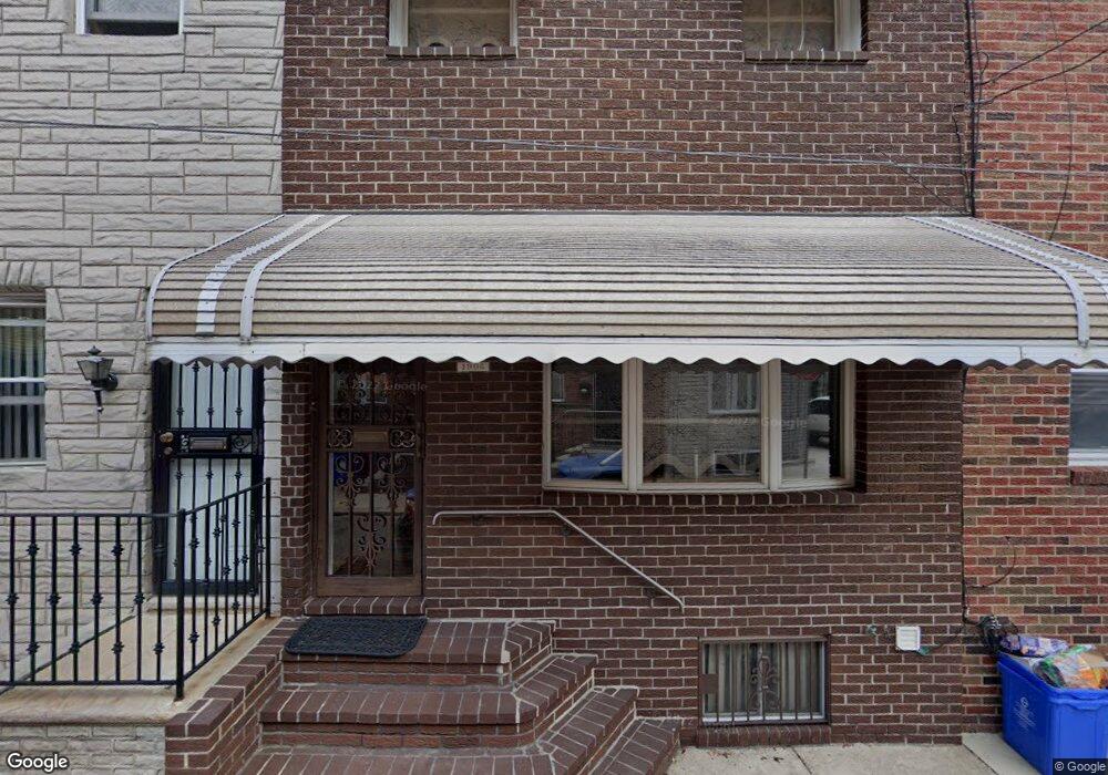
1905 Durfor St Philadelphia, PA 19145
South Philadelphia West NeighborhoodEstimated Value: $254,000 - $282,000
3
Beds
1
Bath
1,050
Sq Ft
$249/Sq Ft
Est. Value
About This Home
This home is located at 1905 Durfor St, Philadelphia, PA 19145 and is currently estimated at $261,904, approximately $249 per square foot. 1905 Durfor St is a home located in Philadelphia County with nearby schools including Stephen Girard School, Universal Vare Charter School, and Universal Audenried Charter High School.
Ownership History
Date
Name
Owned For
Owner Type
Purchase Details
Closed on
Aug 28, 2014
Sold by
Franchetti Cynthia J and Estate Of Frances M Franchetti
Bought by
Franchetti Cynthia J
Current Estimated Value
Purchase Details
Closed on
Jul 22, 1960
Bought by
Anthony Franchetti and Anthony Francis
Create a Home Valuation Report for This Property
The Home Valuation Report is an in-depth analysis detailing your home's value as well as a comparison with similar homes in the area
Home Values in the Area
Average Home Value in this Area
Purchase History
| Date | Buyer | Sale Price | Title Company |
|---|---|---|---|
| Franchetti Cynthia J | -- | Philadelphia Legal Assistanc | |
| Anthony Franchetti | -- | -- |
Source: Public Records
Tax History Compared to Growth
Tax History
| Year | Tax Paid | Tax Assessment Tax Assessment Total Assessment is a certain percentage of the fair market value that is determined by local assessors to be the total taxable value of land and additions on the property. | Land | Improvement |
|---|---|---|---|---|
| 2026 | $2,923 | $221,600 | $44,320 | $177,280 |
| 2025 | $2,923 | $221,600 | $44,320 | $177,280 |
| 2024 | $2,923 | $221,600 | $44,320 | $177,280 |
| 2023 | $2,923 | $208,800 | $41,760 | $167,040 |
| 2022 | $1,908 | $163,800 | $41,760 | $122,040 |
| 2021 | $2,538 | $0 | $0 | $0 |
| 2020 | $2,538 | $0 | $0 | $0 |
| 2019 | $2,359 | $0 | $0 | $0 |
| 2018 | $1,712 | $0 | $0 | $0 |
| 2017 | $2,132 | $0 | $0 | $0 |
| 2016 | $1,712 | $0 | $0 | $0 |
| 2015 | $1,639 | $0 | $0 | $0 |
| 2014 | -- | $152,300 | $12,928 | $139,372 |
| 2012 | -- | $13,152 | $1,011 | $12,141 |
Source: Public Records
Map
Nearby Homes
- 2223 S 20th St
- 1940 Wolf St
- 2306 S Woodstock St
- 2329 S Woodstock St
- 2151 S Opal St
- 2325 S Lambert St
- 1841 Wolf St
- 2344 S Woodstock St
- 2415 S Opal St
- 2233 S Norwood St
- 2106 S Garnet St
- 1738 Wolf St
- 2218 S Bouvier St
- 2446 S Woodstock St
- 2005 Mercy St
- 2235 S Bouvier St
- 2028 S Opal St
- 2051 S Dorrance St
- 1803 Gladstone St
- 2045 S Dorrance St