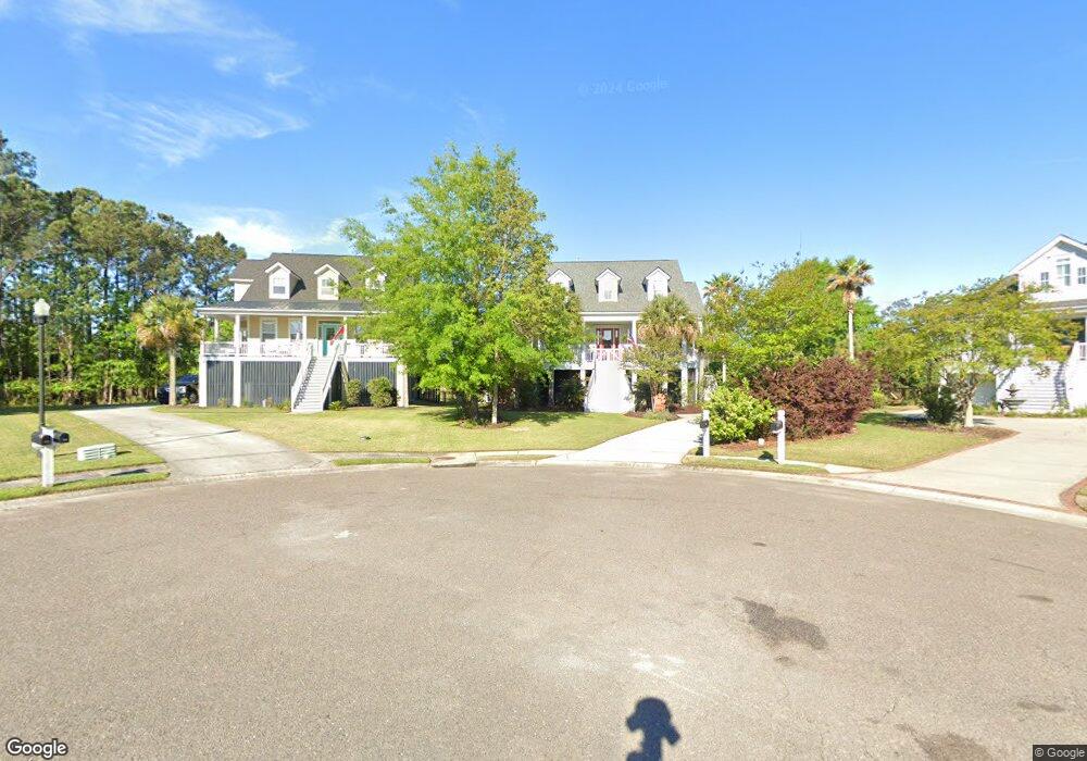
1905 Haviland Ct Mount Pleasant, SC 29466
Rivertowne NeighborhoodEstimated Value: $937,000 - $1,173,000
5
Beds
4
Baths
3,202
Sq Ft
$327/Sq Ft
Est. Value
About This Home
This home is located at 1905 Haviland Ct, Mount Pleasant, SC 29466 and is currently estimated at $1,047,445, approximately $327 per square foot. 1905 Haviland Ct is a home located in Charleston County with nearby schools including Charles Pinckney Elementary School, Laurel Hill Primary School, and Thomas C. Cario Middle School.
Ownership History
Date
Name
Owned For
Owner Type
Purchase Details
Closed on
Mar 15, 2013
Sold by
Bishop Jeremy C and Bishop Jill A
Bought by
Butler Donald Wayne and Butler Elizabeth
Current Estimated Value
Home Financials for this Owner
Home Financials are based on the most recent Mortgage that was taken out on this home.
Original Mortgage
$417,000
Outstanding Balance
$294,532
Interest Rate
3.56%
Mortgage Type
New Conventional
Estimated Equity
$752,913
Purchase Details
Closed on
Oct 11, 2005
Sold by
Indigo Chase Properties Llc
Bought by
Bishop Jeremy C and Bishop Jill A
Create a Home Valuation Report for This Property
The Home Valuation Report is an in-depth analysis detailing your home's value as well as a comparison with similar homes in the area
Home Values in the Area
Average Home Value in this Area
Purchase History
| Date | Buyer | Sale Price | Title Company |
|---|---|---|---|
| Butler Donald Wayne | $465,000 | -- | |
| Bishop Jeremy C | $63,000 | None Available |
Source: Public Records
Mortgage History
| Date | Status | Borrower | Loan Amount |
|---|---|---|---|
| Open | Butler Donald Wayne | $417,000 |
Source: Public Records
Tax History Compared to Growth
Tax History
| Year | Tax Paid | Tax Assessment Tax Assessment Total Assessment is a certain percentage of the fair market value that is determined by local assessors to be the total taxable value of land and additions on the property. | Land | Improvement |
|---|---|---|---|---|
| 2024 | $2,027 | $20,140 | $0 | $0 |
| 2023 | $2,027 | $20,140 | $0 | $0 |
| 2022 | $1,861 | $20,140 | $0 | $0 |
| 2021 | $2,046 | $20,140 | $0 | $0 |
| 2020 | $2,116 | $20,140 | $0 | $0 |
| 2019 | $1,969 | $18,800 | $0 | $0 |
| 2017 | $1,941 | $18,800 | $0 | $0 |
| 2016 | $1,847 | $18,800 | $0 | $0 |
| 2015 | $1,932 | $18,800 | $0 | $0 |
| 2014 | $1,854 | $0 | $0 | $0 |
| 2011 | -- | $0 | $0 | $0 |
Source: Public Records
Map
Nearby Homes
- 1823 Delacourt Ave
- 2753 Rivertowne Pkwy
- 1959 N Smokerise Way
- 2006 S Smokerise Way
- 3307 Crowell Ln
- 2151 Cheswick Ln
- 2922 Marsh Breeze Ln
- 3603 Goodwater St
- 2156 Cheswick Ln
- 2448 Bergeron Way
- 2011 Brick Kiln Pkwy
- 2220 Kings Gate Ln
- 2187 N Marsh Dr
- 2041 Kings Gate Ln
- 2336 Kings Gate Ln
- 1742 Habersham
- 1857 Palmetto Isle Dr
- 1800 Palmetto Isle Dr
- 132 Fresh Meadow Ln Unit 71
- 2648 Balena Dr
- 1901 Haviland Ct
- 1908 Haviland Ct
- 1904 Haviland Ct
- 2636 Ringsted Ln
- 2640 Ringsted Ln
- 2644 Ringsted Ln
- 1900 Haviland Ct
- 2632 Ringsted Ln
- 2628 Ringsted Ln
- 2624 Ringsted Ln
- 2641 Ringsted Ln
- 2645 Ringsted Ln
- 2637 Ringsted Ln
- 2649 Ringsted Ln
- 2633 Ringsted Ln
- 2657 Ringsted Ln
- 2620 Ringsted Ln
- 2653 Ringsted Ln
- 2629 Ringsted Ln
- 2625 Ringsted Ln