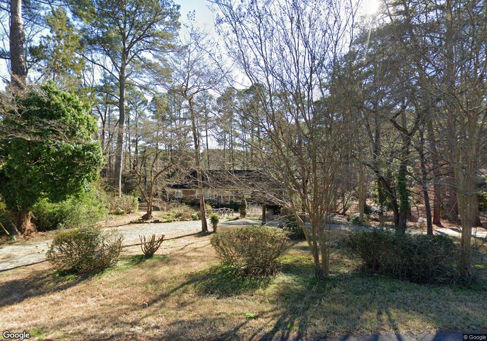
1905 Holiday Rd Sanford, NC 27330
Estimated Value: $404,000 - $470,696
4
Beds
2
Baths
3,493
Sq Ft
$123/Sq Ft
Est. Value
About This Home
This home is located at 1905 Holiday Rd, Sanford, NC 27330 and is currently estimated at $429,174, approximately $122 per square foot. 1905 Holiday Rd is a home located in Lee County with nearby schools including Benjamin T. Bullock Elementary School, West Lee Middle School, and Lee County High School.
Ownership History
Date
Name
Owned For
Owner Type
Purchase Details
Closed on
Aug 11, 2020
Sold by
Dutton Mary Fields and Williamson Mary Lee
Bought by
Hamilton Patricia C
Current Estimated Value
Purchase Details
Closed on
Aug 22, 2016
Sold by
Childress Patricia W and Hamilton Mark
Bought by
Hamilton Mark and Hamilton Patricia
Home Financials for this Owner
Home Financials are based on the most recent Mortgage that was taken out on this home.
Original Mortgage
$204,000
Interest Rate
3.45%
Mortgage Type
New Conventional
Create a Home Valuation Report for This Property
The Home Valuation Report is an in-depth analysis detailing your home's value as well as a comparison with similar homes in the area
Home Values in the Area
Average Home Value in this Area
Purchase History
| Date | Buyer | Sale Price | Title Company |
|---|---|---|---|
| Hamilton Patricia C | -- | None Available | |
| Hamilton Mark | -- | None Available |
Source: Public Records
Mortgage History
| Date | Status | Borrower | Loan Amount |
|---|---|---|---|
| Previous Owner | Hamilton Mark | $204,000 |
Source: Public Records
Tax History Compared to Growth
Tax History
| Year | Tax Paid | Tax Assessment Tax Assessment Total Assessment is a certain percentage of the fair market value that is determined by local assessors to be the total taxable value of land and additions on the property. | Land | Improvement |
|---|---|---|---|---|
| 2025 | $4,380 | $338,400 | $64,600 | $273,800 |
| 2024 | $4,360 | $338,400 | $64,600 | $273,800 |
| 2023 | $4,350 | $338,400 | $64,600 | $273,800 |
| 2022 | $3,686 | $249,300 | $64,600 | $184,700 |
| 2021 | $3,750 | $249,300 | $64,600 | $184,700 |
| 2020 | $3,738 | $249,300 | $64,600 | $184,700 |
| 2019 | $3,698 | $249,300 | $64,600 | $184,700 |
| 2018 | $3,613 | $239,400 | $64,600 | $174,800 |
| 2017 | $3,565 | $239,400 | $64,600 | $174,800 |
| 2016 | $3,771 | $256,000 | $64,600 | $191,400 |
| 2014 | $3,579 | $256,000 | $64,600 | $191,400 |
Source: Public Records
Map
Nearby Homes
- 1705 Lord Ashley Dr
- Wayland Plan at Hickory Grove
- Ashford Plan at Hickory Grove
- Hamilton Plan at Hickory Grove
- Andrews Plan at Hickory Grove
- Bedford Plan at Hickory Grove
- Sheridan Plan at Hickory Grove
- 110 Hickory Grove Dr
- 0 Cool Springs Rd Unit 744558
- 2716 Heather Dr
- 1121 Revenell Dr
- 0 Dumbarton Dr
- 2043 Plantation Dr
- 912 Botany Woods Dr
- 1001 Bent Pine Cir
- 2600 Buckingham Dr
- 2007 Windmill Dr
- 110 Streamside Dr
- 2600 Taton Ct
- 503 Boulderbrook Pkwy
- 1909 Holiday Rd
- 1901 Holiday Rd
- 1910 Paul St
- 1901 Paul St
- 1913 Holiday Rd
- 1910 Holiday Rd
- 1811 Holiday Rd
- 1906 Holiday Rd
- 1800 Columbine Rd
- 1814 Holiday Rd
- 1912 Holiday Rd
- 1908 Holiday Rd
- 2301 Westwood Dr
- 1807 Holiday Rd
- 2307 Westwood Dr
- 1517 Tomberlin Rd
- 1811 Columbine Rd
- 1519 Tomberlin Rd
- 1712 Columbine Rd
- 1801 Columbine Rd