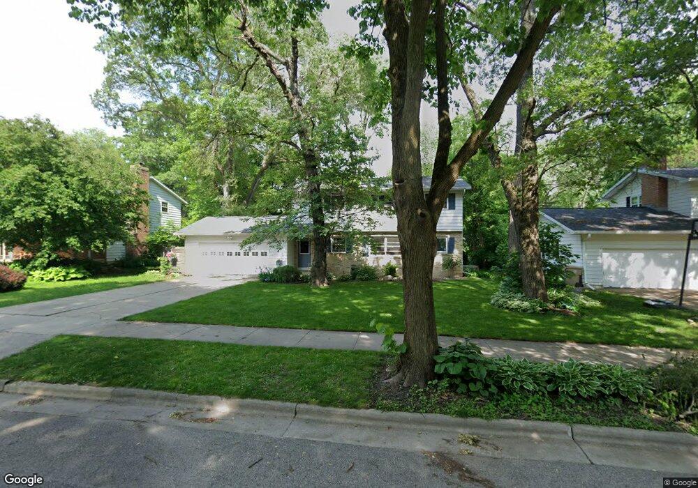
1905 Lewon Dr Madison, WI 53711
Orchard Ridge NeighborhoodEstimated Value: $462,000 - $518,000
4
Beds
4
Baths
1,939
Sq Ft
$256/Sq Ft
Est. Value
About This Home
This home is located at 1905 Lewon Dr, Madison, WI 53711 and is currently estimated at $497,111, approximately $256 per square foot. 1905 Lewon Dr is a home located in Dane County with nearby schools including Orchard Ridge Elementary School, Toki Middle School, and Vel Phillips Memorial High School.
Ownership History
Date
Name
Owned For
Owner Type
Purchase Details
Closed on
Dec 16, 2005
Sold by
Brooks Gregory N and Brooks Jeanette J
Bought by
Reeser Scott D and Reeser Angela D Wyse
Current Estimated Value
Home Financials for this Owner
Home Financials are based on the most recent Mortgage that was taken out on this home.
Original Mortgage
$184,800
Outstanding Balance
$100,790
Interest Rate
6.36%
Mortgage Type
New Conventional
Estimated Equity
$396,321
Create a Home Valuation Report for This Property
The Home Valuation Report is an in-depth analysis detailing your home's value as well as a comparison with similar homes in the area
Home Values in the Area
Average Home Value in this Area
Purchase History
| Date | Buyer | Sale Price | Title Company |
|---|---|---|---|
| Reeser Scott D | $231,000 | None Available |
Source: Public Records
Mortgage History
| Date | Status | Borrower | Loan Amount |
|---|---|---|---|
| Open | Reeser Scott D | $184,800 |
Source: Public Records
Tax History
| Year | Tax Paid | Tax Assessment Tax Assessment Total Assessment is a certain percentage of the fair market value that is determined by local assessors to be the total taxable value of land and additions on the property. | Land | Improvement |
|---|---|---|---|---|
| 2025 | $8,788 | $490,600 | $136,500 | $354,100 |
| 2024 | $15,964 | $470,800 | $136,500 | $334,300 |
| 2023 | $7,551 | $435,900 | $126,400 | $309,500 |
| 2022 | $14,429 | $382,400 | $110,900 | $271,500 |
| 2021 | $6,822 | $335,400 | $97,300 | $238,100 |
| 2020 | $6,939 | $321,000 | $93,100 | $227,900 |
| 2019 | $6,469 | $300,000 | $87,000 | $213,000 |
| 2018 | $5,529 | $257,300 | $79,800 | $177,500 |
| 2017 | $5,555 | $247,400 | $79,800 | $167,600 |
| 2016 | $5,161 | $224,900 | $72,500 | $152,400 |
| 2015 | $5,134 | $212,000 | $69,700 | $142,300 |
| 2014 | $4,927 | $212,000 | $69,700 | $142,300 |
| 2013 | $4,922 | $205,800 | $67,700 | $138,100 |
Source: Public Records
Map
Nearby Homes
- 2309 Teal Dr
- 1401 Lewon Dr
- 5602 Raymond Rd
- 5314 Kroncke Dr
- 2102 Manor Green Dr
- 5710 Russett Rd
- 30 Whitcomb Cir Unit 10 D
- 14 Whitcomb Cir
- 5704 Richmond Dr
- 2609 Smithfield Dr
- 5837 Raymond Rd
- 4514 Hammersley Rd Unit 2
- 6013 Raymond Rd
- 2567 Petersburg Cir
- 1602 Redwood Ln
- 5201 Fairway Dr
- 4233 Doncaster Dr
- 6104 Davenport Dr
- 6305 Jacobs Way
- 4421 Vale Cir
- 1909 Lewon Dr
- 1901 Lewon Dr
- 25 Black Oak Cir
- 1809 Lewon Dr
- 21 Black Oak Cir
- 5122 Raymond Rd
- 5118 Raymond Rd
- 1906 Lewon Dr
- 1902 Lewon Dr
- 29 Black Oak Cir
- 1805 Lewon Dr
- 1810 Lewon Dr
- 1914 Lewon Dr
- 5114 Raymond Rd
- 1806 Lewon Dr
- 17 Black Oak Cir
- 5206 Raymond Rd
- 5117 Black Oak Dr
- 5109 Black Oak Dr
- 5113 Black Oak Dr
Your Personal Tour Guide
Ask me questions while you tour the home.