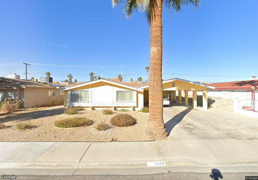
1905 Manhattan Dr Las Vegas, NV 89106
West Las Vegas NeighborhoodEstimated Value: $336,000 - $361,000
3
Beds
2
Baths
1,776
Sq Ft
$194/Sq Ft
Est. Value
About This Home
This home is located at 1905 Manhattan Dr, Las Vegas, NV 89106 and is currently estimated at $343,856, approximately $193 per square foot. 1905 Manhattan Dr is a home located in Clark County with nearby schools including Ollie Detwiler Elementary School, West Prepatory Academy At Charlles I West Hall Sec, and Western High School.
Ownership History
Date
Name
Owned For
Owner Type
Purchase Details
Closed on
Dec 16, 1998
Sold by
Taylor Gwendolyn Hayes Jefferson and Jefferson Gwendolyn
Bought by
Taylor Gwendolyn Hayes Jefferson
Current Estimated Value
Home Financials for this Owner
Home Financials are based on the most recent Mortgage that was taken out on this home.
Original Mortgage
$30,500
Interest Rate
6.86%
Create a Home Valuation Report for This Property
The Home Valuation Report is an in-depth analysis detailing your home's value as well as a comparison with similar homes in the area
Home Values in the Area
Average Home Value in this Area
Purchase History
| Date | Buyer | Sale Price | Title Company |
|---|---|---|---|
| Taylor Gwendolyn Hayes Jefferson | -- | Nevada Title Company |
Source: Public Records
Mortgage History
| Date | Status | Borrower | Loan Amount |
|---|---|---|---|
| Previous Owner | Taylor Gwendolyn Hayes Jefferson | $30,500 |
Source: Public Records
Tax History Compared to Growth
Tax History
| Year | Tax Paid | Tax Assessment Tax Assessment Total Assessment is a certain percentage of the fair market value that is determined by local assessors to be the total taxable value of land and additions on the property. | Land | Improvement |
|---|---|---|---|---|
| 2025 | $725 | $51,273 | $28,000 | $23,273 |
| 2024 | $704 | $51,273 | $28,000 | $23,273 |
| 2023 | $704 | $45,242 | $24,150 | $21,092 |
| 2022 | $684 | $41,221 | $22,400 | $18,821 |
| 2021 | $664 | $39,561 | $22,050 | $17,511 |
| 2020 | $642 | $39,065 | $22,050 | $17,015 |
| 2019 | $634 | $29,697 | $13,300 | $16,397 |
| 2018 | $605 | $27,617 | $12,250 | $15,367 |
| 2017 | $855 | $26,077 | $10,850 | $15,227 |
| 2016 | $567 | $23,462 | $8,750 | $14,712 |
| 2015 | $565 | $19,518 | $5,250 | $14,268 |
| 2014 | $548 | $19,226 | $5,250 | $13,976 |
Source: Public Records
Map
Nearby Homes
- 1901 Manhattan Dr
- 2508 Ellingson Dr
- 2304 Shady Hill Ave
- 2525 Sierra Bello Ave Unit 103
- 1920 Hodgenville St Unit 103
- 2501 Charleville Ave Unit 104
- 1956 Vista Malaga St Unit 103
- 1604 Luning Dr
- 2100 Port Ave
- 2621 Adelante Ave Unit 104
- 2621 Adelante Ave Unit 102
- 1918 King Hill St
- 1928 King Hill St
- 2521 Sierra Luna Ave Unit 106
- 1936 King Hill St
- 2203 Langdon Way
- 1401 Mezpah Dr
- 1310 N Tonopah Dr
- 3017 Holly Ave
- 1700 Ferrell St
- 1909 Manhattan Dr
- 1904 Luning Dr
- 1900 Luning Dr
- 1908 Luning Dr
- 1817 Manhattan Dr
- 1913 Manhattan Dr
- 1904 Manhattan Dr
- 1816 Luning Dr
- 1912 Luning Dr
- 1908 Manhattan Dr
- 1900 Manhattan Dr
- 1813 Manhattan Dr
- 1917 Manhattan Dr
- 1816 Manhattan Dr
- 2309 Holly Ave
- 1812 Luning Dr
- 1916 Luning Way
- 1916 Robin St
- 1812 Manhattan Dr
- 1912 Robin St