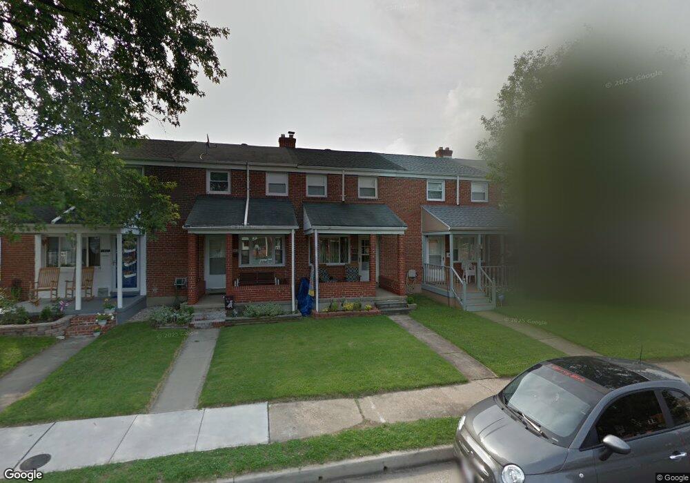
1905 Ormand Rd Dundalk, MD 21222
Estimated Value: $155,304 - $203,000
Studio
1
Bath
896
Sq Ft
$203/Sq Ft
Est. Value
About This Home
This home is located at 1905 Ormand Rd, Dundalk, MD 21222 and is currently estimated at $181,576, approximately $202 per square foot. 1905 Ormand Rd is a home located in Baltimore County with nearby schools including Grange Elementary School, General John Stricker Middle School, and Patapsco High & Center for Arts.
Ownership History
Date
Name
Owned For
Owner Type
Purchase Details
Closed on
Apr 3, 2006
Sold by
Niemyer Evelyn Rose
Bought by
Lawrence Dale
Current Estimated Value
Home Financials for this Owner
Home Financials are based on the most recent Mortgage that was taken out on this home.
Original Mortgage
$16,500
Interest Rate
6.32%
Mortgage Type
Stand Alone Second
Purchase Details
Closed on
Mar 20, 2006
Sold by
Niemyer Evelyn Rose
Bought by
Lawrence Dale
Home Financials for this Owner
Home Financials are based on the most recent Mortgage that was taken out on this home.
Original Mortgage
$16,500
Interest Rate
6.32%
Mortgage Type
Stand Alone Second
Purchase Details
Closed on
Jun 29, 1973
Sold by
Gallagher Rosemary
Bought by
Niemyer Evelyn Rose
Create a Home Valuation Report for This Property
The Home Valuation Report is an in-depth analysis detailing your home's value as well as a comparison with similar homes in the area
Home Values in the Area
Average Home Value in this Area
Purchase History
| Date | Buyer | Sale Price | Title Company |
|---|---|---|---|
| Lawrence Dale | $153,647 | -- | |
| Lawrence Dale | $153,647 | -- | |
| Niemyer Evelyn Rose | $13,900 | -- |
Source: Public Records
Mortgage History
| Date | Status | Borrower | Loan Amount |
|---|---|---|---|
| Closed | Lawrence Dale | $16,500 | |
| Open | Lawrence Dale | $122,900 | |
| Closed | Lawrence Dale | $122,900 |
Source: Public Records
Tax History
| Year | Tax Paid | Tax Assessment Tax Assessment Total Assessment is a certain percentage of the fair market value that is determined by local assessors to be the total taxable value of land and additions on the property. | Land | Improvement |
|---|---|---|---|---|
| 2025 | $2,079 | $127,733 | -- | -- |
| 2024 | $2,079 | $118,267 | -- | -- |
| 2023 | $1,956 | $108,800 | $36,000 | $72,800 |
| 2022 | $1,801 | $106,800 | $0 | $0 |
| 2021 | $1,796 | $104,800 | $0 | $0 |
| 2020 | $1,796 | $102,800 | $36,000 | $66,800 |
| 2019 | $1,733 | $102,033 | $0 | $0 |
| 2018 | $1,706 | $101,267 | $0 | $0 |
| 2017 | $1,641 | $100,500 | $0 | $0 |
| 2016 | $1,734 | $100,500 | $0 | $0 |
| 2015 | $1,734 | $100,500 | $0 | $0 |
| 2014 | $1,734 | $115,700 | $0 | $0 |
Source: Public Records
Map
Nearby Homes
- 2782 Moorgate Rd
- 2811 Moorgate Rd
- 1935 Stanhope Rd
- 1930 Stanhope Rd
- 1954 Stanhope Rd
- 2012 Wareham Rd
- 1911 Sunberry Rd
- 7252 Meadow Ln
- 7807 Rockbourne Rd
- 7832 Rockbourne Rd
- 7849 Harold Rd
- 1940H Robinwood Rd
- 9 Vista Mobile Dr
- 7111 Sollers Point Rd
- 7512 School Ave
- 2924 Sollers Point Rd
- 8101 Shore Rd
- 8201 Seaworthy Way
- 7449 Lawrence Rd Unit D
- 2953 Yorkway
- 1903 Ormand Rd
- 1907 Ormand Rd
- 1909 Ormand Rd
- 1901 Ormand Rd
- 1911 Ormand Rd
- 1913 Ormand Rd
- 1915 Ormand Rd
- 1904 Holborn Rd
- 1902 Holborn Rd
- 1906 Holborn Rd
- 1908 Holborn Rd
- 2747 Moorgate Rd
- 2749 Moorgate Rd
- 1900 Holborn Rd
- 1917 Ormand Rd
- 2751 Moorgate Rd
- 1910 Holborn Rd
- 2753 Moorgate Rd
- 2755 Moorgate Rd
- 1919 Ormand Rd
Your Personal Tour Guide
Ask me questions while you tour the home.