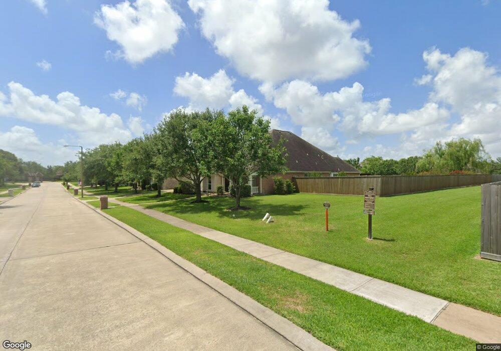
1905 Pampas Trail Dr Friendswood, TX 77546
Estimated Value: $627,049 - $722,000
--
Bed
3
Baths
3,449
Sq Ft
$196/Sq Ft
Est. Value
About This Home
This home is located at 1905 Pampas Trail Dr, Friendswood, TX 77546 and is currently estimated at $677,262, approximately $196 per square foot. 1905 Pampas Trail Dr is a home located in Galveston County with nearby schools including C.W. Cline Elementary School, Windsong Elementary School, and Friendswood Junior High School.
Ownership History
Date
Name
Owned For
Owner Type
Purchase Details
Closed on
Mar 29, 2005
Sold by
D R Horton Texas Ltd
Bought by
Mireles Robert M and Mireles Diane E
Current Estimated Value
Home Financials for this Owner
Home Financials are based on the most recent Mortgage that was taken out on this home.
Original Mortgage
$288,846
Outstanding Balance
$100,151
Interest Rate
1%
Mortgage Type
Fannie Mae Freddie Mac
Estimated Equity
$577,111
Create a Home Valuation Report for This Property
The Home Valuation Report is an in-depth analysis detailing your home's value as well as a comparison with similar homes in the area
Home Values in the Area
Average Home Value in this Area
Purchase History
| Date | Buyer | Sale Price | Title Company |
|---|---|---|---|
| Mireles Robert M | -- | Dhi Title |
Source: Public Records
Mortgage History
| Date | Status | Borrower | Loan Amount |
|---|---|---|---|
| Open | Mireles Robert M | $288,846 |
Source: Public Records
Tax History Compared to Growth
Tax History
| Year | Tax Paid | Tax Assessment Tax Assessment Total Assessment is a certain percentage of the fair market value that is determined by local assessors to be the total taxable value of land and additions on the property. | Land | Improvement |
|---|---|---|---|---|
| 2025 | $5,443 | $620,000 | $85,710 | $534,290 |
| 2024 | $5,443 | $611,906 | -- | -- |
| 2023 | $5,443 | $556,278 | $0 | $0 |
| 2022 | $11,138 | $505,707 | $0 | $0 |
| 2021 | $10,738 | $488,760 | $85,710 | $403,050 |
| 2020 | $10,069 | $417,940 | $85,710 | $332,230 |
| 2019 | $10,510 | $413,880 | $85,710 | $328,170 |
| 2018 | $9,834 | $385,000 | $85,710 | $299,290 |
| 2017 | $9,998 | $385,000 | $85,710 | $299,290 |
| 2016 | $9,555 | $422,620 | $85,710 | $336,910 |
| 2015 | $3,039 | $373,590 | $85,710 | $287,880 |
| 2014 | $2,861 | $276,430 | $59,610 | $216,820 |
Source: Public Records
Map
Nearby Homes
- 1804 Sandy Lake Dr
- 1305 Edgewater Dr
- 1217 Red Wing Dr
- 1606 Falcon Ridge Blvd
- 1608 Keystone Dr
- 1802 Creekside Dr
- 1783 Lake Crest Ln
- 1668 Turner Ct
- 111 Dunbar Unit 501
- 1906 Blue Quail Dr
- 1532 River Point Dr
- 1010 High Ridge Dr
- 2202 Calm Pond Ct
- 1718 Avery Ln
- 1804 Anna Way
- 1556 River Point Dr
- 1572 River Point Dr
- 1568 River Point Dr
- 1588 River Point Dr
- 2120 Lila Sky Ln
- 1909 Pampas Trail Dr
- 1320 Cascade Falls Dr
- 1324 Cascade Falls Dr
- 1913 Pampas Trail Dr
- 1328 Cascade Falls Dr
- 1935 Skip Rock St
- 1927 Skip Rock St
- 1906 Pampas Trail Dr
- 1910 Pampas Trail Dr
- 1902 Pampas Trail Dr
- 1332 Cascade Falls Dr
- 1914 Pampas Trail Dr
- 1917 Pampas Trail Dr
- 1923 Skip Rock St
- 1939 Skip Rock St
- 1881 Pampas Trail Dr
- 1882 Flat Rock St
- 1918 Pampas Trail Dr
- 1336 Cascade Falls Dr
- 1882 Pampas Trail Dr