1905 Parkside Ln Harleysville, PA 19438
Estimated Value: $473,000 - $549,000
3
Beds
2
Baths
1,584
Sq Ft
$322/Sq Ft
Est. Value
About This Home
This home is located at 1905 Parkside Ln, Harleysville, PA 19438 and is currently estimated at $509,616, approximately $321 per square foot. 1905 Parkside Ln is a home located in Montgomery County with nearby schools including General Nash El School, Pennfield Middle School, and North Penn Senior High School.
Ownership History
Date
Name
Owned For
Owner Type
Purchase Details
Closed on
Aug 17, 2005
Sold by
Ferri Elsa and Wojtko Ann Ferri
Bought by
Beatty Michael
Current Estimated Value
Home Financials for this Owner
Home Financials are based on the most recent Mortgage that was taken out on this home.
Original Mortgage
$270,000
Outstanding Balance
$144,087
Interest Rate
5.81%
Mortgage Type
Credit Line Revolving
Estimated Equity
$365,529
Create a Home Valuation Report for This Property
The Home Valuation Report is an in-depth analysis detailing your home's value as well as a comparison with similar homes in the area
Home Values in the Area
Average Home Value in this Area
Purchase History
| Date | Buyer | Sale Price | Title Company |
|---|---|---|---|
| Beatty Michael | $270,000 | -- |
Source: Public Records
Mortgage History
| Date | Status | Borrower | Loan Amount |
|---|---|---|---|
| Open | Beatty Michael | $270,000 | |
| Closed | Beatty Michael | $216,000 |
Source: Public Records
Tax History Compared to Growth
Tax History
| Year | Tax Paid | Tax Assessment Tax Assessment Total Assessment is a certain percentage of the fair market value that is determined by local assessors to be the total taxable value of land and additions on the property. | Land | Improvement |
|---|---|---|---|---|
| 2025 | $5,747 | $141,910 | $51,960 | $89,950 |
| 2024 | $5,747 | $141,910 | $51,960 | $89,950 |
| 2023 | $5,503 | $141,910 | $51,960 | $89,950 |
| 2022 | $5,167 | $141,910 | $51,960 | $89,950 |
| 2021 | $5,017 | $141,910 | $51,960 | $89,950 |
| 2020 | $4,790 | $141,910 | $51,960 | $89,950 |
| 2019 | $4,707 | $141,910 | $51,960 | $89,950 |
| 2018 | $1,086 | $141,910 | $51,960 | $89,950 |
| 2017 | $4,519 | $141,910 | $51,960 | $89,950 |
| 2016 | $4,464 | $141,910 | $51,960 | $89,950 |
| 2015 | $4,277 | $141,910 | $51,960 | $89,950 |
| 2014 | $4,277 | $141,910 | $51,960 | $89,950 |
Source: Public Records
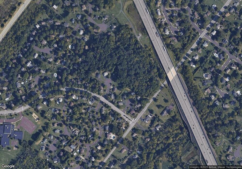
Map
Nearby Homes
- 557 Broxton Ct
- 592 Blackmoor Ct
- 30 Greenbriar Ct
- 19 Wildbriar Ct
- 1825 Flintlock Cir
- 10 Bentwood Ct W
- 205 Green Bank Way
- 912B Stockton Ct
- 506 Clarella Ct
- 1217A Crosshill Ct
- 11 Elder Ct
- 25 Chestnut Ct E
- 14 Ash Ct
- 1653 Bridle Path Dr
- 1017 Winfield Ct
- 2110 Marshall Ct
- 2212 Mulberry Ct
- 2225 Mulberry Ct
- 128 Wellington Terrace
- 1116 Dogwood Ct
- 1903 Parkside Ln
- 1908 Parkside Ln
- 1802 Dutchmans Cir
- 1804 Dutchmans Cir
- 1901 Parkside Ln
- 1904 Parkside Ln
- 1900 Parkside Ln
- 1800 Dutchmans Cir
- 1902 Parkside Ln
- 1805 Dutchmans Cir
- 1507 Liberty Bell Dr
- 1803 Dutchmans Cir
- 1648 Bishopwood Blvd E
- 1801 Dutchmans Cir
- 1508 Liberty Bell Dr
- 1509 Liberty Bell Dr
- 1504 Liberty Bell Dr
- 1502 Liberty Bell Dr
- 1510 Liberty Bell Dr
- 1650 Bishopwood Blvd E