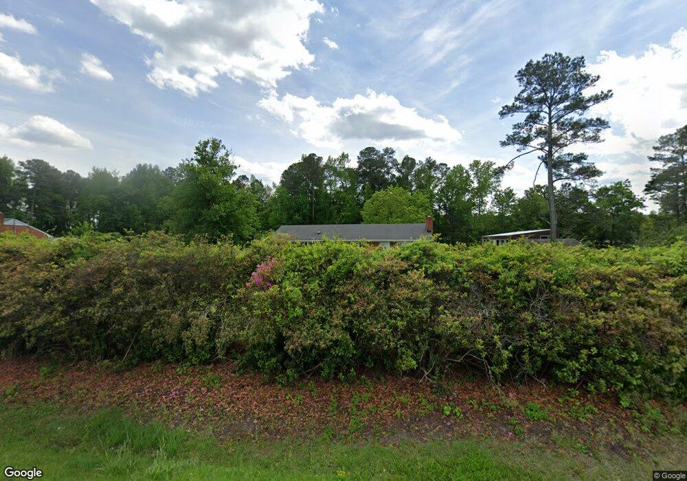
1905 Pauls Path Rd Kinston, NC 28504
Estimated Value: $136,000 - $179,000
3
Beds
1
Bath
1,064
Sq Ft
$149/Sq Ft
Est. Value
About This Home
This home is located at 1905 Pauls Path Rd, Kinston, NC 28504 and is currently estimated at $158,721, approximately $149 per square foot. 1905 Pauls Path Rd is a home located in Lenoir County with nearby schools including Banks Elementary School, E.B. Frink Middle School, and North Lenoir High School.
Ownership History
Date
Name
Owned For
Owner Type
Purchase Details
Closed on
Mar 24, 2017
Sold by
Hardy David Todd and Hardy Melissa W
Bought by
Hardy Davis Todd
Current Estimated Value
Home Financials for this Owner
Home Financials are based on the most recent Mortgage that was taken out on this home.
Original Mortgage
$75,200
Interest Rate
4.16%
Mortgage Type
New Conventional
Create a Home Valuation Report for This Property
The Home Valuation Report is an in-depth analysis detailing your home's value as well as a comparison with similar homes in the area
Home Values in the Area
Average Home Value in this Area
Purchase History
| Date | Buyer | Sale Price | Title Company |
|---|---|---|---|
| Hardy Davis Todd | -- | None Available |
Source: Public Records
Mortgage History
| Date | Status | Borrower | Loan Amount |
|---|---|---|---|
| Closed | Hardy Davis Todd | $75,200 |
Source: Public Records
Tax History Compared to Growth
Tax History
| Year | Tax Paid | Tax Assessment Tax Assessment Total Assessment is a certain percentage of the fair market value that is determined by local assessors to be the total taxable value of land and additions on the property. | Land | Improvement |
|---|---|---|---|---|
| 2025 | $1,314 | $168,930 | $29,965 | $138,965 |
| 2024 | $848 | $84,002 | $23,550 | $60,452 |
| 2023 | $848 | $84,002 | $23,550 | $60,452 |
| 2022 | $848 | $84,002 | $23,550 | $60,452 |
| 2021 | $846 | $84,002 | $23,550 | $60,452 |
| 2020 | $846 | $84,002 | $23,550 | $60,452 |
| 2019 | $848 | $84,002 | $23,550 | $60,452 |
| 2018 | $836 | $84,002 | $23,550 | $60,452 |
| 2017 | $834 | $84,002 | $23,550 | $60,452 |
| 2014 | $898 | $90,025 | $23,550 | $66,475 |
| 2013 | -- | $90,025 | $23,550 | $66,475 |
| 2011 | -- | $90,025 | $23,550 | $66,475 |
Source: Public Records
Map
Nearby Homes
- 0 Hwy 258 N Unit LotWP001 22409279
- 2443 Creekside Rd
- Lot 2 Branchwood Dr
- 2100 Hwy 258 N
- 2193 Dogwood Ln
- 58 Old English Ln
- 1957 Country Squire Rd
- 2544 Dogwood Ln
- 1846 Crestview St
- 2886 Fox Run Cir
- 2912 Fox Run Cir
- 3178 Alton Phillips Rd
- 3128 Kelly Rd
- 2634 Forrest Dr
- 2673 Stokes Cir
- 1955 Banks School Rd
- 2683 Stokes Cir
- 1535 Memory Ln
- 2704 Forrest Dr
- 3807 Random Rd
- 1921 Pauls Path Rd
- 1889 Pauls Path Rd
- 2313 Westdowns Terrace
- 1937 Pauls Path Rd
- 1873 Pauls Path Rd
- 1890 Pauls Path Rd
- 2314 Westdowns Terrace
- 00 Pauls Path Rd
- 0 Pauls Path Rd
- 2323 Westdowns Terrace
- 1859 Pauls Path Rd
- 1942 Pauls Path Rd
- 1953 Pauls Path Rd
- 1872 Pauls Path Rd
- 2217 Hidden Valley Cir
- 2332 Westdowns Terrace
- 2333 Westdowns Terrace
- 1954 Pauls Path Rd
- 1892 Pauls Path Rd
- 1858 Pauls Path Rd